Ptarmigan Lake
- 1.5 mi
- round trip
- 506 ft
- climb
- 12,342 ft
- high point
- Out and back
- route
Is Ptarmigan Lake open right now?
Closure in the area
There's a closure order in Grand Mesa, Uncompahgre and Gunnison National Forests. It doesn't name Ptarmigan Lake, so check the source for the area it covers (2 listed).
Gold Mountain Wildfire Roads and Trails Closure Order v 4.0
Agency closure covering Grand Mesa, Uncompahgre and Gunnison National Forests · USFS · Grand Mesa, Uncompahgre and Gunnison National Forests
Ophir Pass Road Closure
Agency closure covering Grand Mesa, Uncompahgre and Gunnison National Forests · USFS · Grand Mesa, Uncompahgre and Gunnison National Forests
Potter Basin Road Closure Order
Agency alert covering Grand Mesa, Uncompahgre and Gunnison National Forests · USFS · Grand Mesa, Uncompahgre and Gunnison National Forests
Beaver Park Road Closure Order
Agency alert covering Grand Mesa, Uncompahgre and Gunnison National Forests · USFS · Grand Mesa, Uncompahgre and Gunnison National Forests
TERMINATION OF ORDER - FIRE RESTRICTIONS
Agency alert covering Grand Mesa, Uncompahgre and Gunnison National Forests · USFS · Grand Mesa, Uncompahgre and Gunnison National Forests
As of · Source: USFS · Grand Mesa, Uncompahgre and Gunnison National Forests. Agencies don't list every closure — check before you go.
Ptarmigan Lake is an easy, out-and-back hike of about 1.5 miles in the Gunnison Ranger District of the Grand Mesa, Uncompahgre and Gunnison National Forests in Colorado. The trail rises about 506 feet from a low point of 11,835 feet to a high point of 12,342 feet, and it is open year-round. The route is on natural surface, and horses are allowed. Bikes are not. The trailhead is at a parking area called TELLURIUM. For a longer outing, Petroleum Lake lies about 2.5 miles away and Bowman Creek about 3 miles. Portal Campground and the Taylor River, both about 4.4 miles off, offer camping and paddling.
Go with a guide
- Mineral Belt Trail Guided WalkNexPM AI · $25 per person · 25 mi away
- Maroon Bells Guide and Outfitters15 mi away
- Petroleum LakeHiking2.5 mi
- Bowman CreekHiking3 mi
- Lincoln CreekCanoeing3.4 mi
- Portal CampgroundCamping4.4 mi
 Taylor RiverCanoeingPhoto: Jeffrey Beall, CC BY-SA 3.0 (via Wikimedia Commons)4.4 mi
- Dorchester CampgroundCamping4.5 mi
- Reese's PiecesRock climbing5.5 mi
- MonasteryRock climbing5.6 mi
Source: Roamze catalog (indexable pages within 10 miles, PostGIS distance)
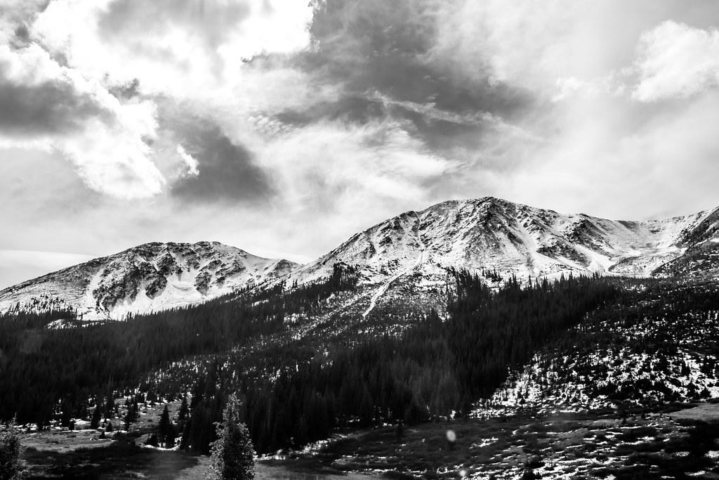 Lost Man LoopHiking · ~12 min drivePhoto: markbyzewski, CC BY 2.0 (via Flickr)
 Twining PeakHiking · ~12 min drivePhoto: markbyzewski, CC BY 2.0 (via Flickr)
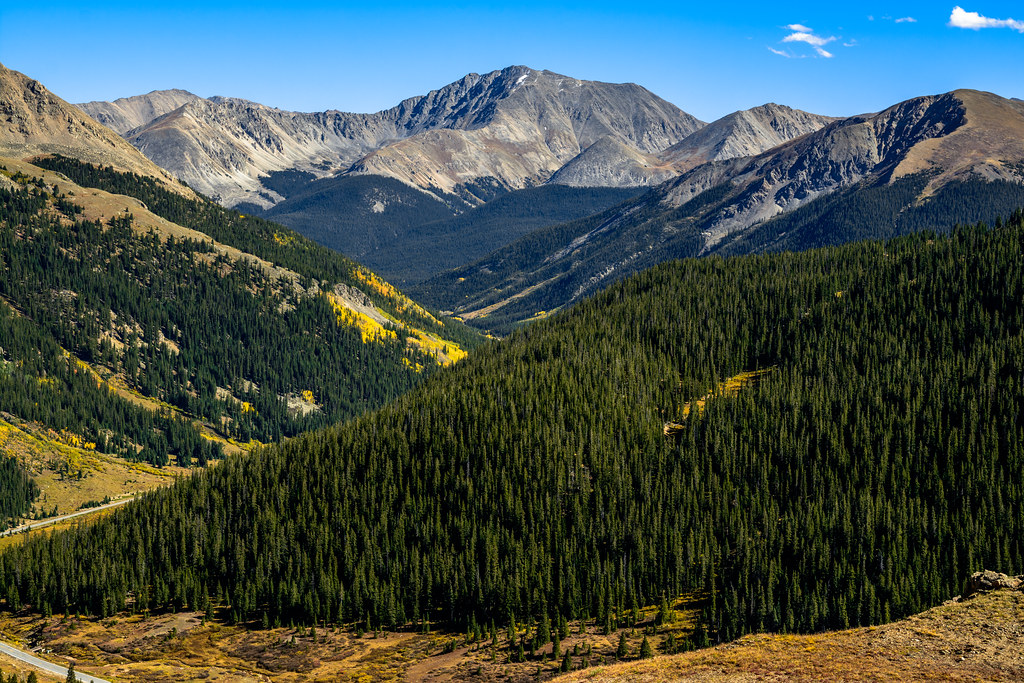 Independance Pass OverlookHiking · ~13 min drivePhoto: dconvertini, CC BY-SA 2.0 (via Flickr)
 MOUNTAIN BOYHiking · ~14 min drivePhoto: Toshihiro Matsui, CC BY-SA 3.0 (via Wikimedia Commons)
- Bowman CreekHiking · ~5 min drive
- Grizzly PeakHiking · ~8 min drive
- Anderson LakeHiking · ~5 min drive
 Star Lily Connector Trail 623Hiking · ~11 min drivePhoto: John Sowell, CC BY-SA 4.0 (via Wikimedia Commons)
- Truro PeakHiking · ~6 min drive
- Conundrum PeakHiking · ~13 min drive
