Portal Campground
Campground
Campground · 3.9 mi from the trail
 Photo: Toshihiro Matsui, CC BY-SA 3.0 (via Wikimedia Commons)
Road closed
CO 82: road closure is listed as closed by CDOT 511 (3 listed).
CO 82: road closure
Closed · ~0.7 km from MOUNTAIN BOY · CDOT 511
CO 82: Independence Pass
Closed · ~4.0 km from MOUNTAIN BOY · CDOT 511
CO 82: road closure
Closed · ~0.0 km from MOUNTAIN BOY · CDOT 511
Willow Fire Area Closure
Agency closure covering Leadville Ranger District · Order 02-12-01-26-39 · USFS · Leadville Ranger District
FSR 286, Radical Hill, is closed due to washouts and unsafe conditions
Agency alert covering Pike and San Isabel National Forests · USFS · Pike and San Isabel National Forests
As of · Source: CDOT 511. Agencies don't list every closure — check before you go.
Mountain Boy is a moderate out-and-back hike in the Leadville Ranger District of the Pike and San Isabel National Forests in Colorado, managed by the Forest Service. The trail is about 2.4 miles long, with a total elevation gain of 1,921 feet, and the high point reaches about 11,580 feet. The climb is rolling, and the steepest stretch comes at about the 1-mile mark, where the grade reaches 43%. Summer is the most comfortable time to go. Typical averages from the nearby Climax weather station show July highs around 67°F with lows near 40°F, and snow is common from November through April. Independance Pass Overlook and Deer Mountain are both within about 2 miles. Portal Campground is about 4 miles away, and Instant Karma Cliff, a climbing area, is about 2.5 miles off.
Portal Campground
Campground
Punky's
Fast food
 If it rainsLongled, CC BY-SA 3.0 · Wikimedia Commons
Historic frontier synagogue building
Places © OpenStreetMap contributors · Photos: Longled, CC BY-SA 3.0 (commons)
More in LeadvilleNo month here meets our mild-weather rule. Best months have typical highs of 55–85 °F, lows of 30 °F or warmer (32 °F where the station doesn't record snow), at most one snowy day and no more than 12 wet days.
Jan
27° / 3°
15 wet · 15 snow
Feb
29° / 3°
15 wet · 15 snow
Mar
35° / 8°
14 wet · 14 snow
Apr
40° / 15°
13 wet · 13 snow
May
49° / 25°
10 wet · 8 snow
Jun
61° / 34°
8 wet · 2 snow
Jul
67° / 40°
13 wet
Aug
64° / 39°
15 wet
Sep
58° / 32°
11 wet · 2 snow
Oct
47° / 21°
9 wet · 7 snow
Nov
35° / 11°
12 wet · 12 snow
Dec
27° / 3°
15 wet · 15 snow
Typical high / low (°F) and days with rain or snow, 1991–2020. Measured at Climax, CO, 26.9 mi away at 11,344 ft. Source: NOAA NCEI U.S. Climate Normals 1991–2020.
CO 82: Independence Pass closed
closed Oct 31, 2026, no reopening recorded · State DOT
CO 82: Independence Pass closed
closed Oct 31, 2026 → reopened Oct 31, 2026 · State DOT
Photo: Toshihiro Matsui, CC BY-SA 3.0 (via Wikimedia Commons)Deer Mountain
~3 min drive
Route to the summit of Deer Mountain (13,694 ft) from the trailhead.
 Photo: markbyzewski, CC BY 2.0 (via Flickr)
North Fork Lake Creek
~5 min drive
7.77-mile out-and-back trail in Colorado with 1,109 ft gain and 12,439 ft max elevation.
 Photo: markbyzewski, CC BY 2.0 (via Flickr)
Linkins Lake
~6 min drive
0.88-mile out-and-back hike to Linkins Lake in Colorado's White River National Forest.
 Photo: kalestews, CC BY 2.0 (via Flickr)
La Plata Peak
~7 min drive
9.37-mile out-and-back to La Plata Peak in Colorado's Pike and San Isabel National Forests
 Photo: markbyzewski, CC BY 2.0 (via Flickr)
Twining Peak
~9 min drive
Route to the summit of Twining Peak (13,632 ft) from Lost Man.
HIKE
Mcnassar Gulch
~6 min drive
2.62-mile out-and-back trail in Colorado's Pike and San Isabel National Forests with 893 ft gain.
 Photo: jl_2, CC BY-SA 2.0 (via Flickr)
Black Cloud Trail
~9 min drive
1.36-mile out-and-back trail in Colorado with 521 ft elevation gain.
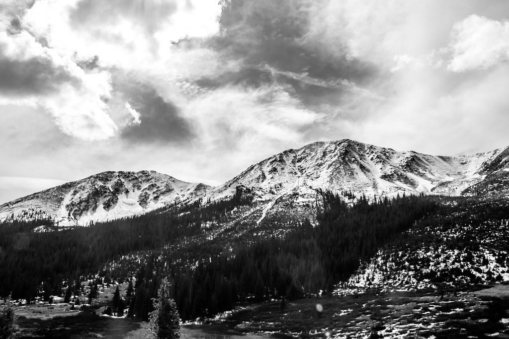 Photo: markbyzewski, CC BY 2.0 (via Flickr)
Lost Man Loop
~9 min drive
17.86-mile out-and-back trail in Colorado's White River National Forest with 2,008 ft gain.
 Photo: jonathan c. wheeler, CC BY-SA 3.0 (via Wikimedia Commons)
Mount Blaurock
~13 min drive
Route to the summit of Mount Blaurock (13,593 ft) from Willis Gulch Trailhead.
HIKE
Grizzly Lake
~7 min drive
7.13-mile out-and-back to Grizzly Lake in Colorado's White River National Forest.

