Lost Man Campground
Campground
Campground · < 0.1 mi from the trail
 Photo: markbyzewski, CC BY 2.0 (via Flickr)
Road closed
CO 82: road closure is listed as closed by CDOT 511 (2 listed).
CO 82: road closure
Closed · ~0.0 km from Twining Peak · CDOT 511
CO 82: road closure
Closed · ~0.0 km from Twining Peak · CDOT 511
FSR 286, Radical Hill, is closed due to washouts and unsafe conditions
Agency alert covering White River National Forest · USFS · White River National Forest
Limited parking at Snowmass Creek Trailhead
Agency alert covering White River National Forest · USFS · White River National Forest
Grizzly Creek Trail Closure
Agency alert covering White River National Forest · Order 2026-02 · USFS · White River National Forest
As of · Source: CDOT 511. Agencies don't list every closure — check before you go.
Local guides with trips near here. Ask them what they're running while this is closed.
Twining Peak is a 13,632-foot summit in the Aspen Ranger District of White River National Forest in Colorado, managed by the Forest Service. The route begins at Lost Man and covers 15.6 miles round trip with about 4,744 feet of climbing. The mapped trail ends roughly 0.5 miles and 1,233 feet from the summit, and the final stretch is off-trail with no mapped path, so route-finding is needed. The hike is rated expert. The mapped trail ends short of the top, and the last part is unmarked, so plan on navigating on your own for the final push. Lost Man Loop and Lost Man Campground both sit about 0.1 mile from the start. Columbine Crag and Linkins Lake are within a few miles.
Lost Man Campground
Campground
 If it rainsLongled, CC BY-SA 3.0 · Wikimedia Commons
Historic frontier synagogue building
Places © OpenStreetMap contributors, Places © Overture Maps Foundation · Photos: Longled, CC BY-SA 3.0 (commons)
More in LeadvilleDaily highs and lows, wind and the chance of precipitation at the summit and route start for the next 7 days, from the Open-Meteo model.
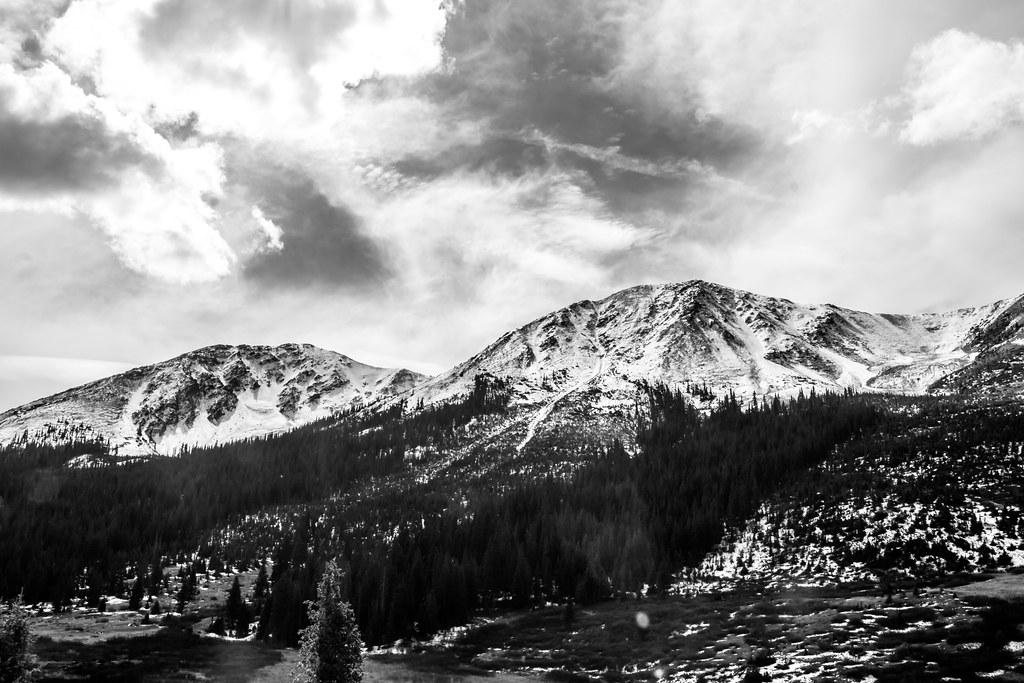 Lost Man LoopHikingPhoto: markbyzewski, CC BY 2.0 (via Flickr)0.1 mi
 Linkins LakeHikingPhoto: markbyzewski, CC BY 2.0 (via Flickr)2.2 mi
Source: Roamze catalog (indexable pages within 10 miles, PostGIS distance)
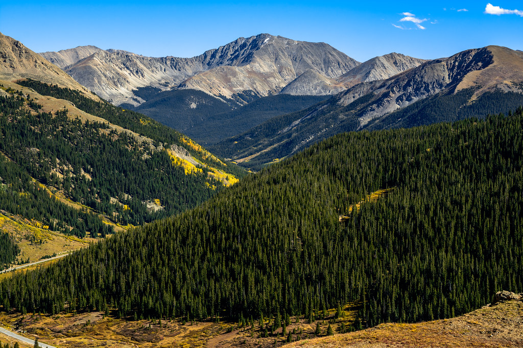 Independance Pass OverlookHiking · ~6 min drivePhoto: dconvertini, CC BY-SA 2.0 (via Flickr)
 Deer MountainHiking · ~8 min drivePhoto: Toshihiro Matsui, CC BY-SA 3.0 (via Wikimedia Commons)
 North Fork Lake CreekHiking · ~8 min drivePhoto: markbyzewski, CC BY 2.0 (via Flickr)
 La Plata PeakHiking · ~15 min drivePhoto: kalestews, CC BY 2.0 (via Flickr)Linkins LakeHiking · ~4 min drivePhoto: markbyzewski, CC BY 2.0 (via Flickr)MOUNTAIN BOYHiking · ~9 min drivePhoto: Toshihiro Matsui, CC BY-SA 3.0 (via Wikimedia Commons)
 Mount Massive Southwest SlopesHiking · ~15 min drivePhoto: Gaep13 at en.wikipedia), Public domain (via Wikimedia Commons)
About 15.6 mi round trip from Lost Man.
About 4,744 ft of climbing round trip.
It is rated expert.
Lost Man.
© openrouteservice.org by HeiGIT | Map data © OpenStreetMap contributors


