Lost Man Campground
Campground
Campground · < 0.1 mi from the trail
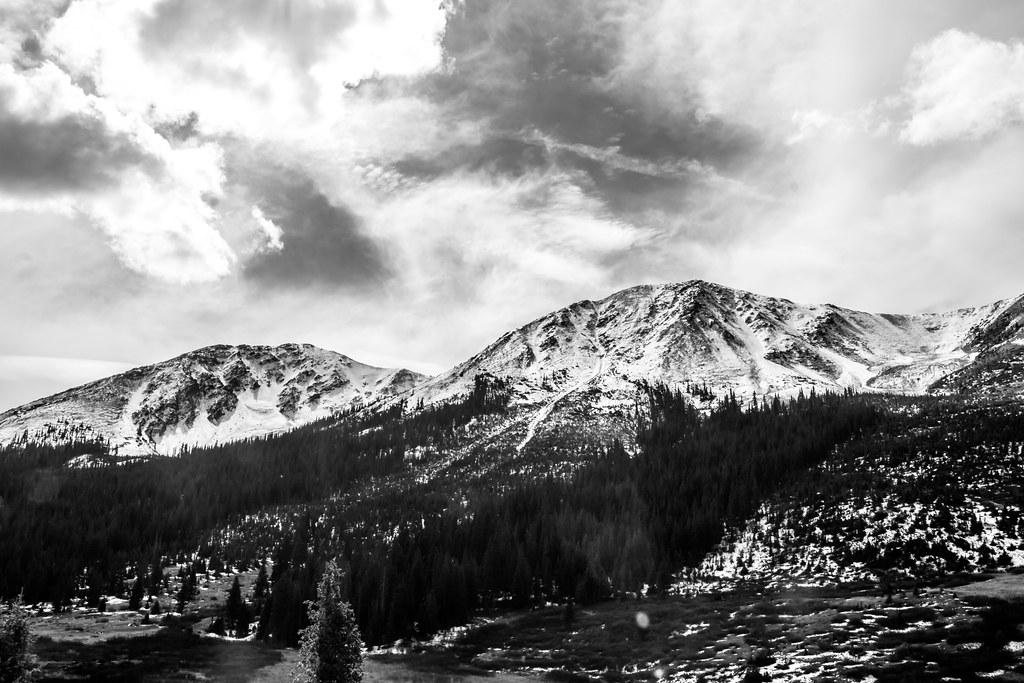 Photo: markbyzewski, CC BY 2.0 (via Flickr)
Road closed
CO 82: road closure is listed as closed by CDOT 511 (3 listed).
CO 82: road closure
Closed · ~0.0 km from Lost Man Loop · CDOT 511
CO 82: Independence Pass
Closed · ~4.6 km from Lost Man Loop · CDOT 511
CO 82: road closure
Closed · ~0.0 km from Lost Man Loop · CDOT 511
FSR 286, Radical Hill, is closed due to washouts and unsafe conditions
Agency alert covering White River National Forest · USFS · White River National Forest
Limited parking at Snowmass Creek Trailhead
Agency alert covering White River National Forest · USFS · White River National Forest
As of · Source: CDOT 511. Agencies don't list every closure — check before you go.
Lost Man Loop is a hard hike of about 18 miles in the Aspen Ranger District of White River National Forest in Colorado, managed by the Forest Service. The trail is an out-and-back with a one-way climb of about 2,000 feet, rising from roughly 10,500 feet to about 12,800 feet at the high point. The trail is on natural surface and allows horses. Bikes are not permitted. Twining Peak and Lost Man Campground both sit about 0.1 mile from the trail. Columbine Crag, a climbing area, is about 2 miles away, and Linkins Lake is about 2.2 miles away.
Lost Man Campground
Campground
Two Mile Brewing
Bar
 If it rainsLongled, CC BY-SA 3.0 · Wikimedia Commons
Historic frontier synagogue building
Places © OpenStreetMap contributors · Photos: Longled, CC BY-SA 3.0 (commons)
More in Leadville Photo: markbyzewski, CC BY 2.0 (via Flickr)
Linkins Lake
~4 min drive
0.88-mile out-and-back hike to Linkins Lake in Colorado's White River National Forest.
 Photo: Toshihiro Matsui, CC BY-SA 3.0 (via Wikimedia Commons)
Deer Mountain
~8 min drive
Route to the summit of Deer Mountain (13,694 ft) from the trailhead.
 Photo: markbyzewski, CC BY 2.0 (via Flickr)
North Fork Lake Creek
~8 min drive
7.77-mile out-and-back trail in Colorado with 1,109 ft gain and 12,439 ft max elevation.
 Photo: kalestews, CC BY 2.0 (via Flickr)
La Plata Peak
~15 min drive
9.37-mile out-and-back to La Plata Peak in Colorado's Pike and San Isabel National Forests
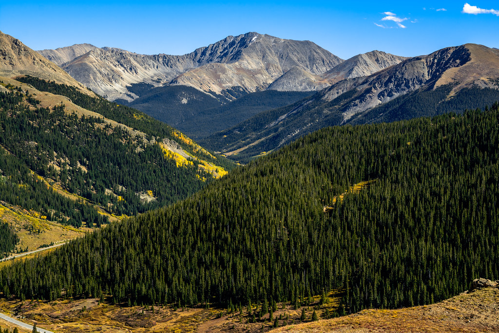 Photo: dconvertini, CC BY-SA 2.0 (via Flickr)
Independance Pass Overlook
~6 min drive
0.60-mile out-and-back trail at 12,131 ft elevation in Colorado.
HIKE
Middle Mountain
~13 min drive
Route to the summit of Middle Mountain (13,097 ft) from La Plata Trailhead Parking.
Photo: Toshihiro Matsui, CC BY-SA 3.0 (via Wikimedia Commons)MOUNTAIN BOY
~9 min drive
Mountain Boy is a 2.42-mile out-and-back trail in Colorado with 1,921 feet of elevation gain.
 Photo: Gaep13 at en.wikipedia), Public domain (via Wikimedia Commons)
Mount Massive Southwest Slopes
~15 min drive
Shorter route up Mount Massive (14,421 ft) from the North Halfmoon Creek Trailhead, which needs a high-clearance 4WD vehicle.
HIKE
Anderson Lake
~11 min drive
2.20-mile out-and-back hike to Anderson Lake in Colorado's White River National Forest.
HIKE
Garfield Peak
~13 min drive
Route to the summit of Garfield Peak (13,757 ft) from La Plata Trailhead Parking.

