North Fork Reservoir Campground
Campground
Campground · 2.8 mi from the trail
Alert in the area
The Forest Service lists 7 alerts for Pike and San Isabel National Forests.
FSR 286, Radical Hill, is closed due to washouts and unsafe conditions
Agency alert covering Pike and San Isabel National Forests · USFS · Pike and San Isabel National Forests
Interlaken Hotel Tree Hazards
Agency alert covering Pike and San Isabel National Forests · USFS · Pike and San Isabel National Forests
Sharpe Fire Update
Agency alert covering Pike and San Isabel National Forests · USFS · Pike and San Isabel National Forests
Turquoise Lake Road (County Road 4) Closure
Agency alert covering Pike and San Isabel National Forests · USFS · Pike and San Isabel National Forests
Food Storage Prohibitions on Pike-San Isabel National Forests
Agency alert covering Pike and San Isabel National Forests · Order 02-12-00-23-07 · USFS · Pike and San Isabel National Forests
As of · Source: USFS · Pike and San Isabel National Forests. Agencies don't list every closure — check before you go.
Pomeroy Lakes is a short, moderate hike in the Salida Ranger District of the Pike and San Isabel National Forests in Colorado, about a mile from town and roughly a mile and a half from the Pomeroy Lake Trail, which makes it easy to pair with a longer outing in the area. The route is an out-and-back with a climb of about 250 feet and a high point of about 12,267 feet, and the steepest stretch comes around halfway through, where the grade reaches about 12 percent. The trip takes about half an hour to complete, and the trail is front-loaded, so the ascent is mostly behind you by the middle of the hike. The Forest Service manages the land here, and the route starts at roughly 12,096 feet, with the low point at about 12,067 feet. For more time on foot, the Pomeroy Lake Trail lies just 0.3 miles away. North Fork Reservoir Campground and North Fork Campground are both about 2.8 miles off, and climbers can head to Chalk Creek Canyon, roughly 4.8 miles away.
North Fork Reservoir Campground
Campground
Waunita Pass
Viewpoint
Places © OpenStreetMap contributors, Places © Overture Maps Foundation
More in Pitkin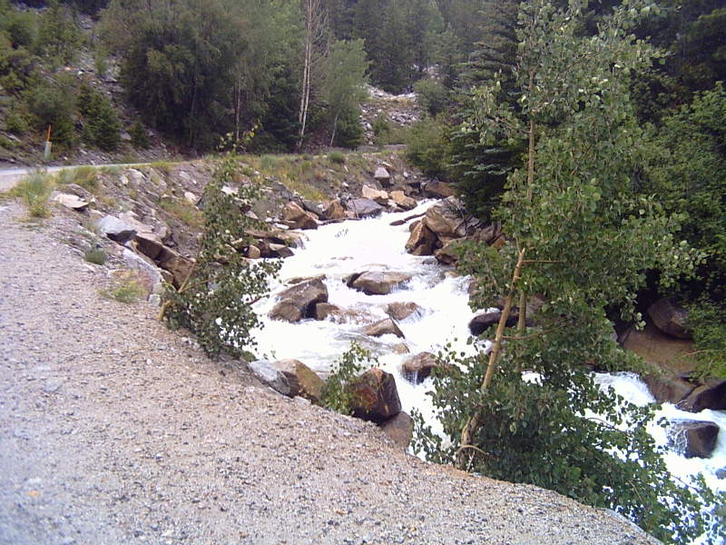 Chalk CreekCanoeingPhoto: LanceBarber, CC BY-SA 3.0 (via Wikimedia Commons)7.1 mi
Source: Roamze catalog (indexable pages within 10 miles, PostGIS distance)
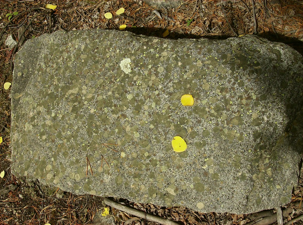 Iron Chest Mine TrailHiking · ~6 min drivePhoto: jaygannett, CC BY-SA 2.0 (via Flickr)
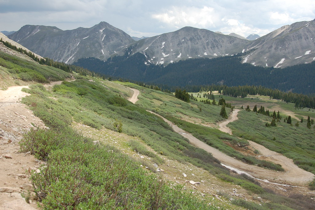 Old Tincup Pass TrailHiking · ~13 min drivePhoto: Herkie, CC BY-SA 2.0 (via Flickr)
 Mount ShavanoHiking · ~15 min drivePhoto: kalestews, CC BY 2.0 (via Flickr)
 South Quartz Trail 483Hiking · ~10 min drivePhoto: John Sowell, CC BY-SA 4.0 (via Wikimedia Commons)Canyon Creek Trail 481Hiking · ~7 min drivePhoto: John Sowell, CC BY-SA 4.0 (via Wikimedia Commons)
 Cascade Creek TrailHiking · ~13 min drivePhoto: oxtopus, CC BY 2.0 (via Flickr)Horseshoe Trail 482Hiking · ~9 min drivePhoto: John Sowell, CC BY-SA 4.0 (via Wikimedia Commons)Taylor MountainHiking · ~10 min drivePhoto: kalestews, CC BY 2.0 (via Flickr)
Also worth it near here
 Cronin PeakSummit · ~5 min drivePhoto: John Sowell, CC BY-SA 4.0 (via Wikimedia Commons)
 Middle Quartz Creek CampgroundCamping · ~9 min drivePhoto: Bull dd-780, CC BY 3.0 (via Wikimedia Commons)Chalk CreekCanoeing · ~12 min drivePhoto: LanceBarber, CC BY-SA 3.0 (via Wikimedia Commons)
