North Fork Campground
Campground
Campground · 2.9 mi from the trail
 Photo: kalestews, CC BY 2.0 (via Flickr)
Alert in the area
The Forest Service lists 7 alerts for Pike and San Isabel National Forests.
FSR 286, Radical Hill, is closed due to washouts and unsafe conditions
Agency alert covering Pike and San Isabel National Forests · USFS · Pike and San Isabel National Forests
Interlaken Hotel Tree Hazards
Agency alert covering Pike and San Isabel National Forests · USFS · Pike and San Isabel National Forests
Sharpe Fire Update
Agency alert covering Pike and San Isabel National Forests · USFS · Pike and San Isabel National Forests
Turquoise Lake Road (County Road 4) Closure
Agency alert covering Pike and San Isabel National Forests · USFS · Pike and San Isabel National Forests
Food Storage Prohibitions on Pike-San Isabel National Forests
Agency alert covering Pike and San Isabel National Forests · Order 02-12-00-23-07 · USFS · Pike and San Isabel National Forests
As of · Source: USFS · Pike and San Isabel National Forests. Agencies don't list every closure — check before you go.
Taylor Mountain rises to 13,599 ft in Colorado. This route starts at Cree Creek / Taylor Mountain Trailhead and covers 3.1 miles round trip with about 2,308 ft of climbing. The mapped trail ends 0.8 miles and about 1,590 ft short of the summit; the final stretch is off-trail with no mapped path and needs route-finding.
North Fork Campground
Campground
Waunita Pass
Viewpoint
Places © OpenStreetMap contributors, Places © Overture Maps Foundation
More in PitkinDaily highs and lows, wind and the chance of precipitation at the summit and route start for the next 7 days, from the Open-Meteo model.
Mount ShavanoHikingPhoto: kalestews, CC BY 2.0 (via Flickr)0.1 miTabeguache PeakHikingPhoto: kalestews, CC BY 2.0 (via Flickr)0.1 mi South Arkansas RiverCanoeingPhoto: Jeffrey Beall, CC BY 4.0 (via Wikimedia Commons)5.1 mi
Source: Roamze catalog (indexable pages within 10 miles, PostGIS distance)
Mount ShavanoHiking · ~8 min drivePhoto: kalestews, CC BY 2.0 (via Flickr)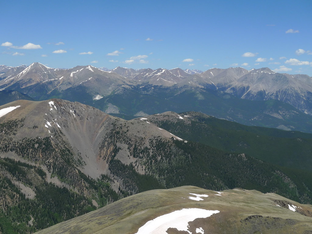 Pass Creek Trail 1412Hiking · ~15 min drivePhoto: jl_2, CC BY-SA 2.0 (via Flickr)
 Agate CreekHiking · ~18 min drivePhoto: jl_2, CC BY-SA 2.0 (via Flickr)
 South Quartz Trail 483Hiking · ~13 min drivePhoto: John Sowell, CC BY-SA 4.0 (via Wikimedia Commons)Tabeguache PeakHiking · ~8 min drivePhoto: kalestews, CC BY 2.0 (via Flickr)
 Iron Chest Mine TrailHiking · ~15 min drivePhoto: jaygannett, CC BY-SA 2.0 (via Flickr)
 Cascade Creek TrailHiking · ~16 min drivePhoto: oxtopus, CC BY 2.0 (via Flickr)Horseshoe Trail 482Hiking · ~12 min drivePhoto: John Sowell, CC BY-SA 4.0 (via Wikimedia Commons)Canyon Creek Trail 481Hiking · ~10 min drivePhoto: John Sowell, CC BY-SA 4.0 (via Wikimedia Commons)
Also worth it near here
 Carbonate MountainSummit · ~5 min drivePhoto: John Sowell, CC BY-SA 4.0 (via Wikimedia Commons)
 Angel Of Shavano (Snow Route)Ski touring · ~7 min drivePhoto: Ken Lund from Reno, Nevada, USA, CC BY-SA 2.0 (via Wikimedia Commons)
About 3.1 mi round trip from Cree Creek / Taylor Mountain Trailhead.
About 2,308 ft of climbing round trip.
It is rated hard.
Cree Creek / Taylor Mountain Trailhead.
© openrouteservice.org by HeiGIT | Map data © OpenStreetMap contributors
