Quartz Campground
Campground
Campground · 3.0 mi from the trail
Closure in the area
There's a closure order in Grand Mesa, Uncompahgre and Gunnison National Forests. It doesn't name Forest Trail, so check the source for the area it covers (2 listed).
Gold Mountain Wildfire Roads and Trails Closure Order v 4.0
Agency closure covering Grand Mesa, Uncompahgre and Gunnison National Forests · USFS · Grand Mesa, Uncompahgre and Gunnison National Forests
Ophir Pass Road Closure
Agency closure covering Grand Mesa, Uncompahgre and Gunnison National Forests · USFS · Grand Mesa, Uncompahgre and Gunnison National Forests
Potter Basin Road Closure Order
Agency alert covering Grand Mesa, Uncompahgre and Gunnison National Forests · USFS · Grand Mesa, Uncompahgre and Gunnison National Forests
Beaver Park Road Closure Order
Agency alert covering Grand Mesa, Uncompahgre and Gunnison National Forests · USFS · Grand Mesa, Uncompahgre and Gunnison National Forests
TERMINATION OF ORDER - FIRE RESTRICTIONS
Agency alert covering Grand Mesa, Uncompahgre and Gunnison National Forests · USFS · Grand Mesa, Uncompahgre and Gunnison National Forests
As of · Source: USFS · Grand Mesa, Uncompahgre and Gunnison National Forests. Agencies don't list every closure — check before you go.
Forest Trail is an easy out-and-back hike of about 1.2 miles in Colorado's Gunnison Ranger District, part of the Grand Mesa, Uncompahgre and Gunnison National Forests. The Forest Service manages the land, and the trail starts at roughly 10,984 feet, climbing to about 11,491 feet at the high point before descending back to the trailhead. The climb is front-loaded, with the steepest stretch at about 0.5 miles in, where the grade reaches 26 percent. Total elevation gain and loss are each about 558 feet, so the round trip is a short, straightforward outing. The trip takes about half an hour, so it makes a quick addition to a day of exploring the district. Cumberland Trail 9626 lies about 1.3 miles away, and the Old Tincup Pass Trail is about 3 miles off. Quartz Campground and Middle Quartz Creek Campground, both about 4.6 miles away, offer places to stay.
Quartz Campground
Campground
St. Elmo Town Hall & Jail
Museum
Places © OpenStreetMap contributors, Places © Overture Maps Foundation
More in Pitkin Cumberland Pass Snowmobile/skiMountain bikingPhoto: John Sowell, CC BY-SA 4.0 (via Wikimedia Commons)2 mi
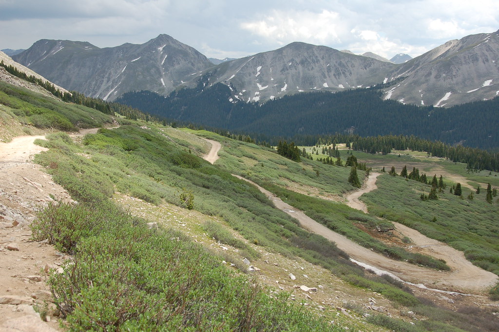 Old Tincup Pass TrailHikingPhoto: Herkie, CC BY-SA 2.0 (via Flickr)3 mi
 Middle Quartz Creek CampgroundCampingPhoto: Bull dd-780, CC BY 3.0 (via Wikimedia Commons)4.6 mi
Source: Roamze catalog (indexable pages within 10 miles, PostGIS distance)
Old Tincup Pass TrailHiking · ~5 min drivePhoto: Herkie, CC BY-SA 2.0 (via Flickr)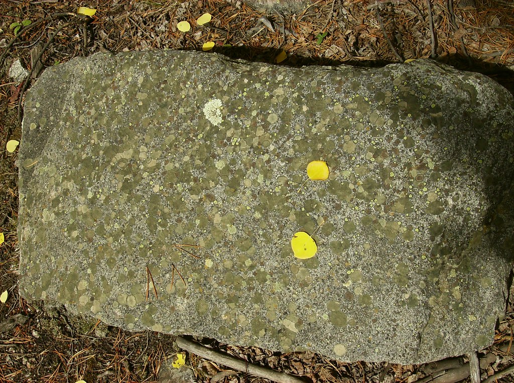 Iron Chest Mine TrailHiking · ~11 min drivePhoto: jaygannett, CC BY-SA 2.0 (via Flickr)
 Lost LakeHiking · ~15 min drivePhoto: roy.luck, CC BY 2.0 (via Flickr)
 Horseshoe Trail 482Hiking · ~12 min drivePhoto: John Sowell, CC BY-SA 4.0 (via Wikimedia Commons)Canyon Creek Trail 481Hiking · ~12 min drivePhoto: John Sowell, CC BY-SA 4.0 (via Wikimedia Commons)South Quartz Trail 483Hiking · ~11 min drivePhoto: John Sowell, CC BY-SA 4.0 (via Wikimedia Commons)
Also worth it near here
Map and trail data © OpenStreetMap contributors


