North Fork Reservoir Campground
Campground
Campground · 3.0 mi from the trail
Alert in the area
The Forest Service lists 7 alerts for Pike and San Isabel National Forests.
FSR 286, Radical Hill, is closed due to washouts and unsafe conditions
Agency alert covering Pike and San Isabel National Forests · USFS · Pike and San Isabel National Forests
Interlaken Hotel Tree Hazards
Agency alert covering Pike and San Isabel National Forests · USFS · Pike and San Isabel National Forests
Sharpe Fire Update
Agency alert covering Pike and San Isabel National Forests · USFS · Pike and San Isabel National Forests
Turquoise Lake Road (County Road 4) Closure
Agency alert covering Pike and San Isabel National Forests · USFS · Pike and San Isabel National Forests
Food Storage Prohibitions on Pike-San Isabel National Forests
Agency alert covering Pike and San Isabel National Forests · Order 02-12-00-23-07 · USFS · Pike and San Isabel National Forests
As of · Source: USFS · Pike and San Isabel National Forests. Agencies don't list every closure — check before you go.
Alpine Tunnel 4WD Road is a short, low-elevation route in Colorado's Pike and San Isabel National Forests, within the Salida Ranger District. The Forest Service manages the land, and the road is a 0.39-mile stretch that rises from about 11,055 feet to about 11,112 feet, with a total gain of 53 feet and a loss of 67 feet over the same distance. The steepest part comes at about 0.23 miles in, with a grade of about 5 percent. The route is a quick ride or drive, and it works well as a short stop or a way to reach the surrounding area. Pomeroy Lake Trail and Pomeroy Lakes are both about 1.3 miles away. North Fork Reservoir Campground and North Fork Campground sit about 3 miles off, and Chalk Creek Canyon offers climbing roughly 5.8 miles away.
North Fork Reservoir Campground
Campground
St. Elmo Town Hall & Jail
Museum
Places © OpenStreetMap contributors, Places © Overture Maps Foundation
More in PitkinNot on Roamze yet. Their page has how to reach them.
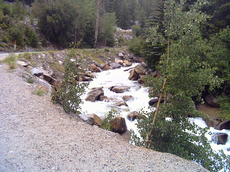 Chalk CreekCanoeingPhoto: LanceBarber, CC BY-SA 3.0 (via Wikimedia Commons)8.4 mi
Source: Roamze catalog (indexable pages within 10 miles, PostGIS distance)
 North Quartz Creek SkiMountain biking · ~12 min drivePhoto: Bull dd-780, CC BY 3.0 (via Wikimedia Commons)
 Cumberland Pass Snowmobile/skiMountain biking · ~14 min drivePhoto: John Sowell, CC BY-SA 4.0 (via Wikimedia Commons)
Also worth it near here
 Canyon Creek Trail 481Hiking · ~5 min drivePhoto: John Sowell, CC BY-SA 4.0 (via Wikimedia Commons)
 Middle Quartz Creek CampgroundCamping · ~6 min drivePhoto: Bull dd-780, CC BY 3.0 (via Wikimedia Commons)
 Carbonate MountainSummit · ~7 min drivePhoto: John Sowell, CC BY-SA 4.0 (via Wikimedia Commons)
Map and trail data © OpenStreetMap contributors
