Pawnee Campground
Campground
Campground · 3.6 mi from the trail
 Photo: Steven Bratman, CC BY 2.0 (via Wikimedia Commons)
Alert in the area
The Forest Service lists 3 alerts for Arapaho and Roosevelt National Forests.
Fire Restrictions
Agency alert covering Arapaho and Roosevelt National Forests · USFS · Arapaho and Roosevelt National Forests
Caribou Road Closure Order
Agency alert covering Boulder Ranger District · Order 02-10-01-26-04 · USFS · Boulder Ranger District
Raptor Nesting Area Closure - Boulder Ranger District
Agency alert covering Boulder Ranger District · Order 02-10-01-26-06 · USFS · Boulder Ranger District
As of · Source: USFS · Arapaho and Roosevelt National Forests. Agencies don't list every closure — check before you go.
Pawnee Pass is a hard hike in Colorado's Indian Peaks Wilderness, within the Boulder Ranger District of the Arapaho and Roosevelt National Forests. The trail is an out-and-back route of about 15.7 miles, with a one-way elevation gain of 3,637 feet. It starts at Long Lake Trailhead, and the pass itself sits at 12,543 feet, the high point of the climb. The route is long and steep, and the Forest Service manages the land. The pass lies in designated wilderness, so the trail is natural-surfaced and remote. The trip is best planned for summer and early fall, when the pass is open from June 1 to October 31. Winter brings snow, and the trail is not open then. The Shoshoni Summit Route and Pawnee Peak both start about 0.1 mile from the pass. Shoshoni Peak and Indian Peaks are climbing areas within a mile. For an overnight stay, Pawnee Campground is about 3.6 miles away.
Pawnee Campground
Campground
Rock Creek Tavern and Pizzeria
Restaurant
 If it rainsMatt Golon, CC BY-SA 3.0 · Wikimedia Commons
Places © OpenStreetMap contributors · Photos: Matt Golon, CC BY-SA 3.0 (commons)
More in Estes ParkNot on Roamze yet. Their page has how to reach them.
Shoshoni Summit RouteHikingPhoto: Steven Bratman, CC BY 2.0 (via Wikimedia Commons)0.1 miPawnee PeakHikingPhoto: Steven Bratman, CC BY 2.0 (via Wikimedia Commons)0.1 miSource: Roamze catalog (indexable pages within 10 miles, PostGIS distance)
Shoshoni Summit RouteHiking · Next doorPhoto: Steven Bratman, CC BY 2.0 (via Wikimedia Commons)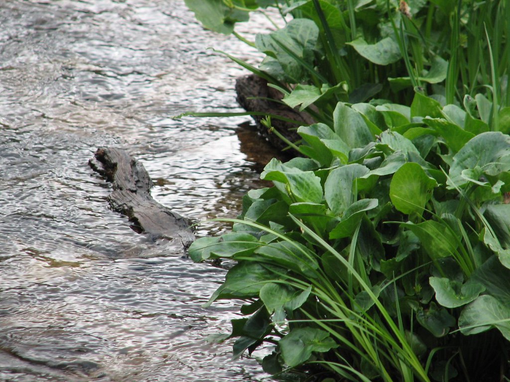 Isabelle GlacierHiking · ~2 min drivePhoto: Ben Makuh, CC BY-SA 2.0 (via Flickr)
 Jean LunningHiking · ~4 min drivePhoto: matthewevans1991, CC BY-SA 2.0 (via Flickr)Kiowa PeakHiking · ~5 min drivePhoto: matthewevans1991, CC BY-SA 2.0 (via Flickr)Pawnee PeakHiking · Next doorPhoto: Steven Bratman, CC BY 2.0 (via Wikimedia Commons)
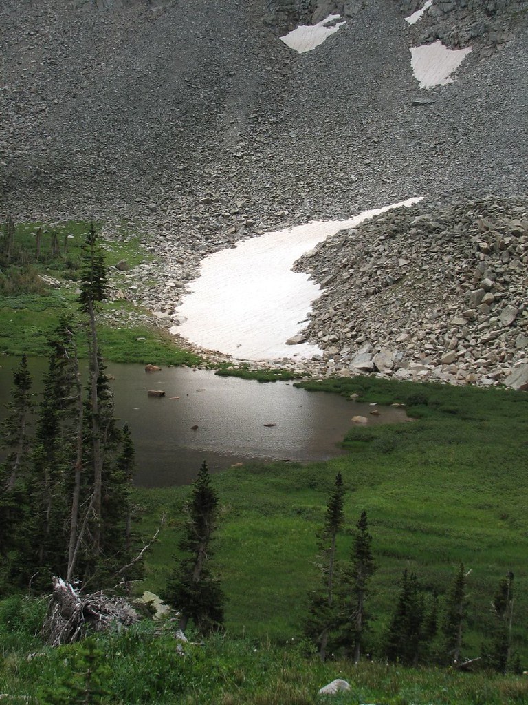 Little Blue Lake RouteHiking · ~2 min drivePhoto: Ben Makuh, CC BY-SA 2.0 (via Flickr)
 Niwot Cutoff TrailHiking · ~4 min drivePhoto: matthewevans1991, CC BY-SA 2.0 (via Flickr)
 Paiute PeakHiking · ~5 min drivePhoto: jonathan c. wheeler, CC BY-SA 3.0 (via Wikimedia Commons)Mount AudubonHiking · ~5 min drivePhoto: jonathan c. wheeler, CC BY-SA 3.0 (via Wikimedia Commons)
 Beaver CreekHiking · ~5 min drivePhoto: PACarlson, CC BY 2.0 (via Flickr)

