Pawnee Campground
Campground
Campground · 1.7 mi from the trail
 Photo: jonathan c. wheeler, CC BY-SA 3.0 (via Wikimedia Commons)
Alert in the area
The Forest Service lists 3 alerts for Arapaho and Roosevelt National Forests.
Fire Restrictions
Agency alert covering Arapaho and Roosevelt National Forests · USFS · Arapaho and Roosevelt National Forests
Caribou Road Closure Order
Agency alert covering Boulder Ranger District · Order 02-10-01-26-04 · USFS · Boulder Ranger District
Raptor Nesting Area Closure - Boulder Ranger District
Agency alert covering Boulder Ranger District · Order 02-10-01-26-06 · USFS · Boulder Ranger District
As of · Source: USFS · Arapaho and Roosevelt National Forests. Agencies don't list every closure — check before you go.
Mount Audubon is a moderate out-and-back hike in Colorado's Indian Peaks Wilderness, within the Boulder Ranger District of the Arapaho and Roosevelt National Forests. The trail runs about 4.4 miles, with a total elevation gain of 1,831 feet, from a low point of 11,380 feet to a high of 13,212 feet on the summit. The route is on natural surface, and the Forest Service manages the land. Bikes and horses are not allowed. The most comfortable stretch for a visit is typically June through October, when the open season runs from June 1 to October 31. That window also aligns with the most settled weather, based on typical averages from a nearby weather station. Mitchell Lake and Beaver Creek are both hikes about a mile away, and Pawnee Campground is roughly 1.7 miles off. Climbers can head to Camp Dick, about 3 miles away.
Pawnee Campground
Campground
Rock Creek Tavern and Pizzeria
Restaurant
 If it rainsMatt Golon, CC BY-SA 3.0 · Wikimedia Commons
Places © OpenStreetMap contributors · Photos: Matt Golon, CC BY-SA 3.0 (commons)
More in Estes ParkNot on Roamze yet. Their page has how to reach them.
 Photo: PACarlson, CC BY 2.0 (via Flickr)
Mitchell Lake
~2 min drive
4.96-mile out-and-back hike to Mitchell Lake in Colorado at 11,367 ft.
Photo: PACarlson, CC BY 2.0 (via Flickr)Beaver Creek
~2 min drive
13.81-mile out-and-back trail in Colorado with 1,094 ft elevation gain.
 Photo: jonathan c. wheeler, CC BY-SA 3.0 (via Wikimedia Commons)
BRAINARD LAKE CUTOFF
~2 min drive
1.18-mile out-and-back trail near Brainard Lake, Colorado with 220 ft elevation gain.
 Photo: matthewevans1991, CC BY-SA 2.0 (via Flickr)
Apache Peak
~2 min drive
Route to the summit of Apache Peak (13,442 ft) from Long Lake Trailhead.
Photo: jonathan c. wheeler, CC BY-SA 3.0 (via Wikimedia Commons)Brainard Lake Cutoff Trail
~3 min drive
1.1-mile out-and-back trail near Brainard Lake, Colorado with 160 ft elevation gain.
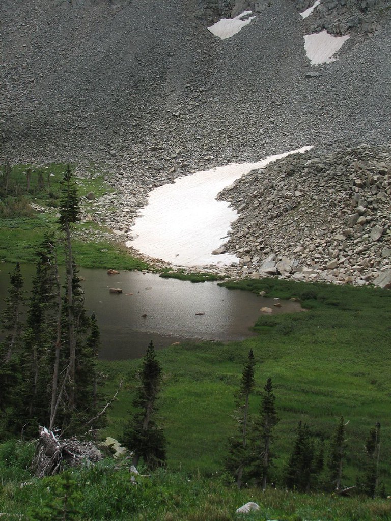 Photo: Ben Makuh, CC BY-SA 2.0 (via Flickr)
Little Blue Lake Route
~3 min drive
1.42-mile out-and-back trail to Little Blue Lake in Colorado with 968 ft gain
Photo: matthewevans1991, CC BY-SA 2.0 (via Flickr)Jean Lunning
~3 min drive
2.82-mile out-and-back trail in Colorado with 113 ft elevation gain.
Photo: matthewevans1991, CC BY-SA 2.0 (via Flickr)Kiowa Peak
~2 min drive
Route to the summit of Kiowa Peak (13,156 ft) from Long Lake Trailhead.
Photo: jonathan c. wheeler, CC BY-SA 3.0 (via Wikimedia Commons)Niwot Mountain
~5 min drive
1.15-mile trail in Colorado with 800 ft elevation gain
 Photo: Ben Makuh, CC BY-SA 2.0 (via Flickr)
Isabelle Glacier
~4 min drive
4.45-mile out-and-back hike to Isabelle Glacier in Colorado, gaining 1,120 ft.
Park at Beaver Creek Trailhead.
About 4.4 mi round trip from Beaver Creek Trailhead (about 11,380 ft).
About 1,831 ft of climbing round trip.
It is rated moderate.
Beaver Creek Trailhead (about 11,380 ft).
2: Mount Audubon and Paiute Peak.
Daily highs and lows, wind and the chance of precipitation at the summit and route start for the next 7 days, from the Open-Meteo model.

