Owl Creek Pass
Campground
Campground · 3.2 mi from the trail
Closure in the area
There's a closure order in Grand Mesa, Uncompahgre and Gunnison National Forests. It doesn't name OLD OWL CREEK SPUR A, so check the source for the area it covers (2 listed).
Gold Mountain Wildfire Roads and Trails Closure Order v 4.0
Agency closure covering Grand Mesa, Uncompahgre and Gunnison National Forests · USFS · Grand Mesa, Uncompahgre and Gunnison National Forests
Ophir Pass Road Closure
Agency closure covering Grand Mesa, Uncompahgre and Gunnison National Forests · USFS · Grand Mesa, Uncompahgre and Gunnison National Forests
Potter Basin Road Closure Order
Agency alert covering Grand Mesa, Uncompahgre and Gunnison National Forests · USFS · Grand Mesa, Uncompahgre and Gunnison National Forests
Beaver Park Road Closure Order
Agency alert covering Grand Mesa, Uncompahgre and Gunnison National Forests · USFS · Grand Mesa, Uncompahgre and Gunnison National Forests
TERMINATION OF ORDER - FIRE RESTRICTIONS
Agency alert covering Grand Mesa, Uncompahgre and Gunnison National Forests · USFS · Grand Mesa, Uncompahgre and Gunnison National Forests
As of · Source: USFS · Grand Mesa, Uncompahgre and Gunnison National Forests. Agencies don't list every closure — check before you go.
Old Owl Creek Spur A is a moderate, out-and-back hike of about 1.6 miles in the Ouray Ranger District of the Grand Mesa, Uncompahgre and Gunnison National Forests in Colorado. It is managed by the Forest Service and sits at about 8,437 feet, with a high point of 8,454 feet and a total elevation gain of 866 feet over the course of the trip. The trail has a steady climb, and the steepest stretch comes at about 0.7 miles in, where the grade reaches 16 percent. The high point is just a few dozen feet above the starting elevation. The trip takes about an hour, and it is a short outing that pairs easily with other outings in the area. Summer is the most comfortable time to go. At the Ouray weather station, about 11 miles away, typical July highs reach about 79°F with lows near 53°F, and snow is common from November through April. That station sits roughly 600 feet below the trail. Old Owl Creek and the Spruce hike both lie within half a mile. Owl Creek Pass campground is about 3 miles away, and Cow Creek offers canoeing about 2.7 miles off.
Owl Creek Pass
Campground
Places © OpenStreetMap contributors, Places © Overture Maps Foundation
More in TellurideNot on Roamze yet. Their page has how to reach them.
Source: Roamze catalog (indexable pages within 10 miles, PostGIS distance)
 NATE CREEKHiking · ~2 min drivePhoto: daveynin, CC BY 2.0 (via Flickr)STEALEY MOUNTAIN SPURHiking · ~3 min drivePhoto: daveynin, CC BY 2.0 (via Flickr)Old Owl Creek TrailHiking · ~3 min drivePhoto: daveynin, CC BY 2.0 (via Flickr)
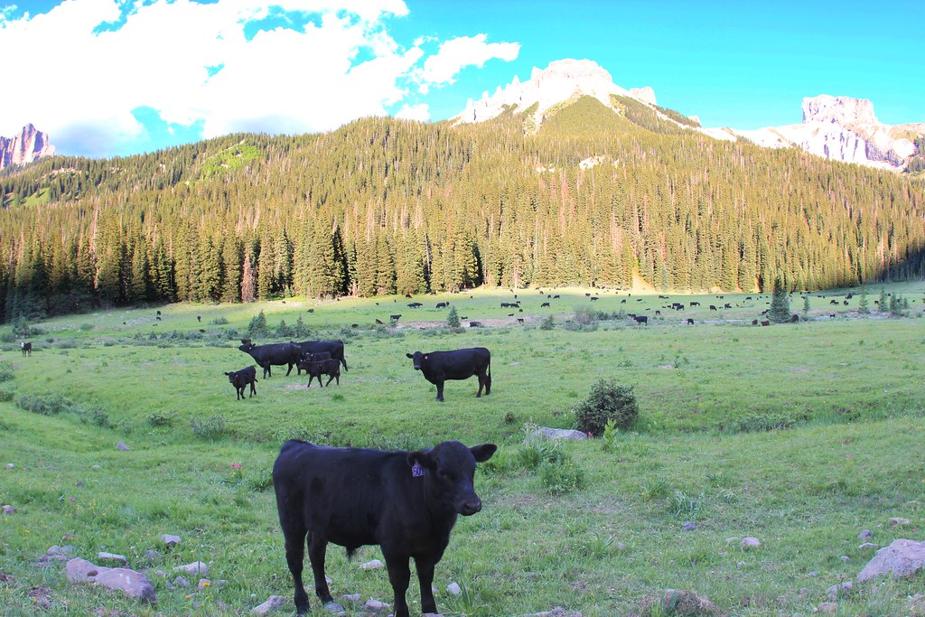 OLD OWL CREEK SPUR BHiking · ~4 min drivePhoto: daveynin, CC BY 2.0 (via Flickr)OWL CREEK PASS SNOHiking · ~5 min drivePhoto: daveynin, CC BY 2.0 (via Flickr)
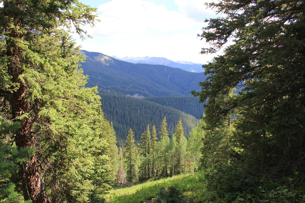 Courthouse MountainHiking · ~7 min drivePhoto: daveynin, CC BY 2.0 (via Flickr)CourthouseHiking · ~7 min drivePhoto: daveynin, CC BY 2.0 (via Flickr)
Best months: June–July and September. Best months have typical highs of 55–85 °F, lows of 30 °F or warmer (32 °F where the station doesn't record snow), at most one snowy day and no more than 12 wet days.
Jan
34° / 15°
8 wet · 7 snow
Feb
36° / 19°
8 wet · 7 snow
Mar
44° / 25°
9 wet · 8 snow
Apr
52° / 31°
9 wet · 6 snow
May
63° / 39°
7 wet · 2 snow
Jun
74° / 47°
6 wet
Jul
79° / 53°
10 wet
Aug
75° / 51°
14 wet
Sep
69° / 45°
11 wet
Oct
57° / 34°
8 wet · 3 snow
Nov
44° / 24°
8 wet · 6 snow
Dec
35° / 16°
8 wet · 7 snow
Typical high / low (°F) and days with rain or snow, 1991–2020. Measured at Ouray, CO, 11 mi away at 7,840 ft. The station sits about 600 ft lower than this place, so expect it a little cooler here. Source: NOAA NCEI U.S. Climate Normals 1991–2020.
