Oh-Be-Joyful Pass
- 8.2 mi
- round trip
- 1,478 ft
- climb
- 11,786 ft
- high point
- Out and back
- route
Is Oh-Be-Joyful Pass open right now?
Closure in the area
There's a closure order in Grand Mesa, Uncompahgre and Gunnison National Forests. It doesn't name Oh-Be-Joyful Pass, so check the source for the area it covers (2 listed).
Gold Mountain Wildfire Roads and Trails Closure Order v 4.0
Agency closure covering Grand Mesa, Uncompahgre and Gunnison National Forests · USFS · Grand Mesa, Uncompahgre and Gunnison National Forests
Ophir Pass Road Closure
Agency closure covering Grand Mesa, Uncompahgre and Gunnison National Forests · USFS · Grand Mesa, Uncompahgre and Gunnison National Forests
Potter Basin and Beaver Park Roads Emergency Closures
Agency alert covering Grand Mesa, Uncompahgre and Gunnison National Forests · USFS · Grand Mesa, Uncompahgre and Gunnison National Forests
TERMINATION OF ORDER - FIRE RESTRICTIONS
Agency alert covering Grand Mesa, Uncompahgre and Gunnison National Forests · USFS · Grand Mesa, Uncompahgre and Gunnison National Forests
Dallas Area Closure order
Agency alert covering Grand Mesa, Uncompahgre and Gunnison National Forests · USFS · Grand Mesa, Uncompahgre and Gunnison National Forests
As of · Source: USFS · Grand Mesa, Uncompahgre and Gunnison National Forests. Agencies don't list every closure — check before you go.
Oh-Be-Joyful Pass is a hard out-and-back hike in Colorado's Raggeds Wilderness, part of the Paonia Ranger District of the Grand Mesa, Uncompahgre and Gunnison National Forests. The trail runs about 8.2 miles round trip, with a one-way elevation gain of 1,478 feet, from a low point of about 10,145 feet to a high of about 11,786 feet. The Forest Service manages the land, and the route is on natural surface. The pass is open from July 1 to September 30. Horses are allowed, but bikes are not. That makes it a trail for hikers and riders on horseback rather than for mountain bikes. Nearby, Silver Basin sits about 0.7 miles away, and Daisy Pass Blue Lake is about 2.3 miles off. For camping, Lake Irwin is about 3.9 miles away and Poverty Gulch Camping Area about 4.3 miles.
Local outfitters
- Maroon Bells Guide and Outfitters22 mi away
- Taylor Park Trading Post33 mi away
Not on Roamze yet. Their page has how to reach them.
 Silver BasinMountain bikingPhoto: John Sowell, CC BY-SA 4.0 (via Wikimedia Commons)0.7 mi
 Daisy Pass Blue LakeMountain bikingPhoto: Sheila Sund from Salem, United States, CC BY 2.0 (via Wikimedia Commons)2.3 mi
- Dyke WildernessMountain biking2.5 mi
- Ruby Anthracite CreekCanoeing2.8 mi
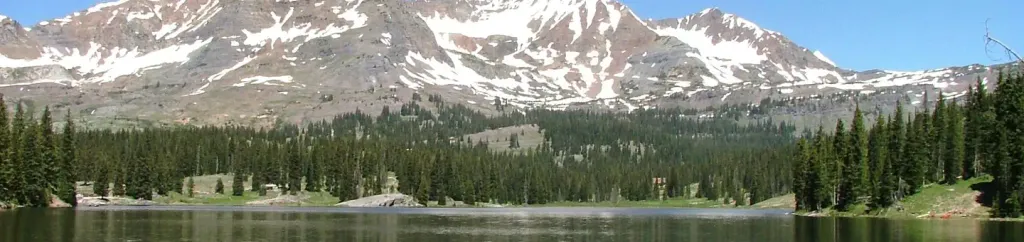 Lake IrwinCampingPhoto: Recreation.gov (RIDB) / public domain3.9 mi
- Poverty Gulch Camping AreaCamping4.3 mi
- Anthracite CreekCanoeing7.2 mi
- Crested ButteRock climbing8.3 mi
Source: Roamze catalog (indexable pages within 10 miles, PostGIS distance)
 Daisy Pass Blue LakeHiking · ~4 min drivePhoto: Kyle Watson Photography, CC BY-SA 2.0 (via Flickr)
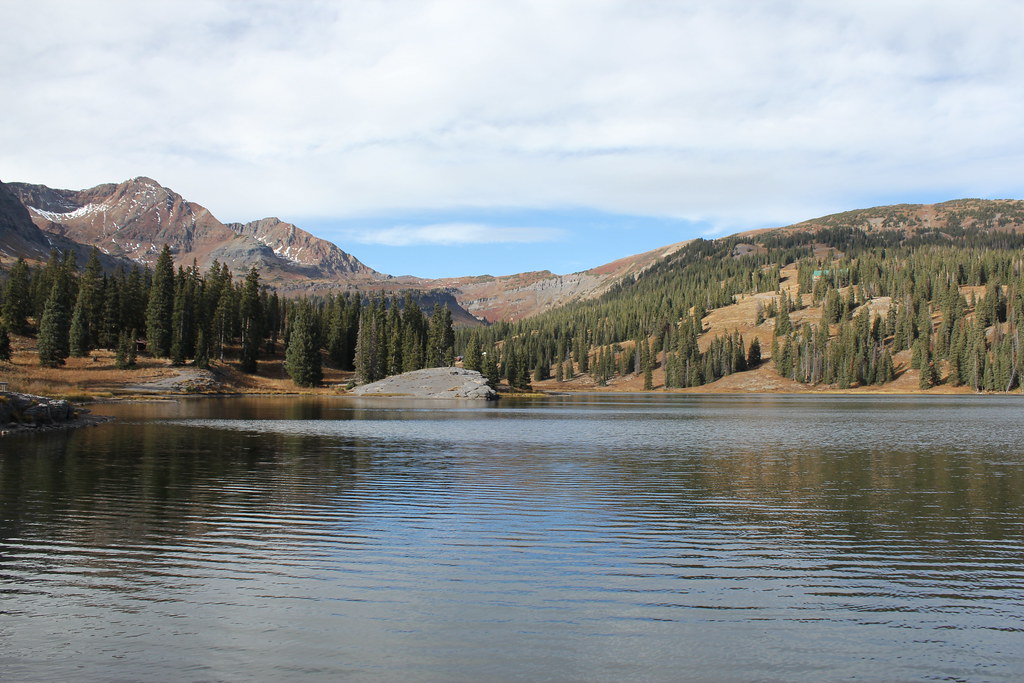 ScarpHiking · ~6 min drivePhoto: Jeffrey Beall, CC BY-SA 2.0 (via Flickr)
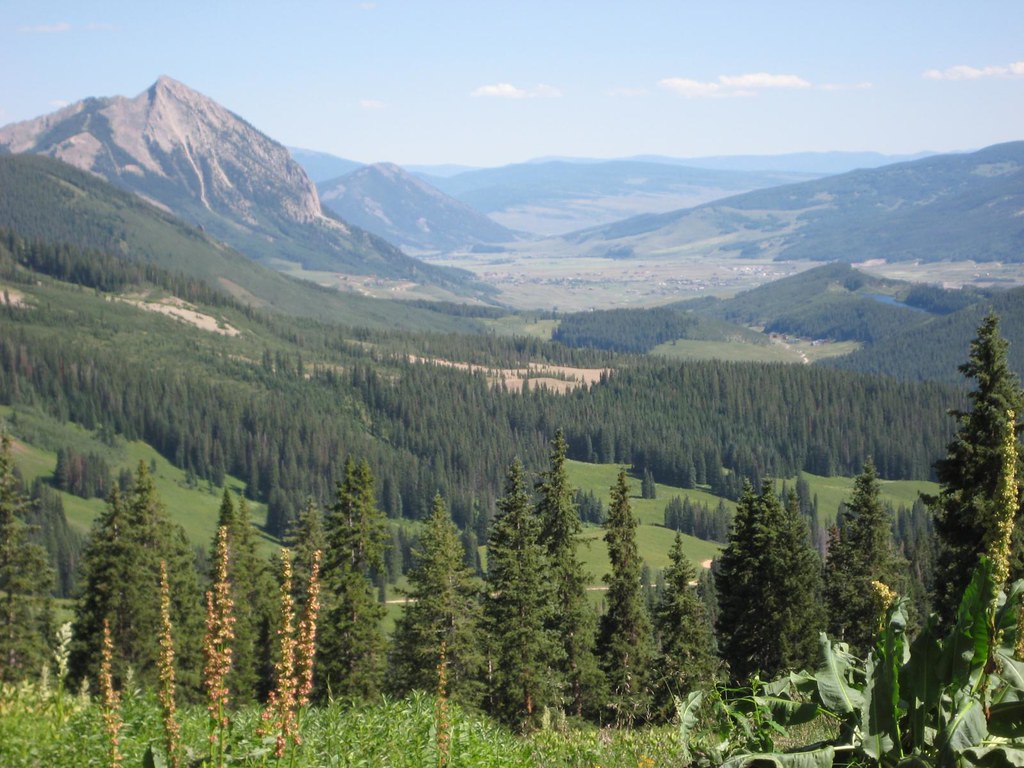 Washington GulchHiking · ~11 min drivePhoto: GSEC, CC BY 2.0 (via Flickr)
 Precarious PeakHiking · ~15 min drivePhoto: Jeffrey Pang from Berkeley, CA, USA, CC BY 2.0 (via Wikimedia Commons)
 Upper Peeler LakesHiking · ~7 min drivePhoto: Kyle Watson Photography, CC BY-SA 2.0 (via Flickr)
- Ridge 70Hiking · ~6 min drivePhoto: Jeffrey Beall, CC BY-SA 2.0 (via Flickr)
- Gothic Mountain TrailHiking · ~13 min drivePhoto: Jeffrey Pang from Berkeley, CA, USA, CC BY 2.0 (via Wikimedia Commons)
- Yule PassHiking · ~13 min drive
- Irwin Lake TrailHiking · ~8 min drivePhoto: Jeffrey Beall, CC BY-SA 2.0 (via Flickr)
 Yule PassHiking · ~11 min drivePhoto: GSEC, CC BY 2.0 (via Flickr)

