North Vail Trail
- 7.2 mi
- round trip
- 767 ft
- climb
- 9,428 ft
- high point
- Out and back
- route
- Jun–Sep
- best months
Is North Vail Trail open right now?
Alert in the area
The Forest Service lists 6 alerts for White River National Forest.
FSR 286, Radical Hill, is closed due to washouts and unsafe conditions
Agency alert covering White River National Forest · USFS · White River National Forest
Limited parking at Snowmass Creek Trailhead
Agency alert covering White River National Forest · USFS · White River National Forest
Grizzly Creek Trail Closure
Agency alert covering White River National Forest · Order 2026-02 · USFS · White River National Forest
Ruedi Marina Day Use area Dump Station is CLOSED
Agency alert covering White River National Forest · USFS · White River National Forest
Asbestos safety closure - Camp Hale
Agency alert covering White River National Forest · USFS · White River National Forest
As of · Source: USFS · White River National Forest. Agencies don't list every closure — check before you go.
North Vail Trail is a 7.2-mile out-and-back hike in Colorado's White River National Forest, within the Holy Cross Ranger District. It rises from 8,267 feet to 9,428 feet, a gain of 767 feet one way, and the trail is rated hard. The trail is on natural surface and is open to horses and bikes. The nearest town is Vail, and the trailhead is at the North Trail (Davos) Trailhead, about 2 miles away. The Forest Service manages the land. Summer is the most comfortable time to go. Typical averages from a nearby weather station in Vail put July highs around 77°F with lows near 42°F. That station sits roughly 1,100 feet below the trail, so temperatures on the route run cooler. The trail is open from June 21 through April 14. Several other destinations are close by. Son of Middle Creek is 0.3 miles away, and Buffehr Creek is 1.2 miles away. Climbers can head to Cemetery Block, about 3.4 miles off, and Gore Creek Campground is 6.5 miles away.
Go with a guide
- Mineral Belt Trail Guided WalkRoamze · $25 per person · 28 mi away
- Rancho Del Rio20 mi away
Best time to go · Jun–Sep
Best time to visit North Vail Trail
Best months: June–September. Best months have typical highs of 55–85 °F, lows of 30 °F or warmer (32 °F where the station doesn't record snow), at most one snowy day and no more than 12 wet days.
Jan
29° / 7°
12 wet
Feb
33° / 9°
11 wet
Mar
42° / 17°
10 wet
Apr
49° / 24°
9 wet
May
60° / 31°
9 wet
Jun
71° / 36°
8 wet
Jul
77° / 42°
10 wet
Aug
74° / 41°
11 wet
Sep
67° / 34°
9 wet
Oct
54° / 25°
7 wet
Nov
38° / 15°
9 wet
Dec
28° / 7°
11 wet
Typical high / low (°F) and days with rain or snow, 1991–2020. Measured at Vail, CO, 2.2 mi away at 8,304 ft. The station sits about 1,100 ft lower than this place, so expect it a little cooler here. This station doesn't record snowfall. Source: NOAA NCEI U.S. Climate Normals 1991–2020.
Keep exploring — more trails worth the drive
 Photo: toastal_OLD, CC BY 2.0 (via Flickr)
West Partner Peak
~7 min drive
Route to the summit of West Partner Peak (13,054 ft) from the trailhead.
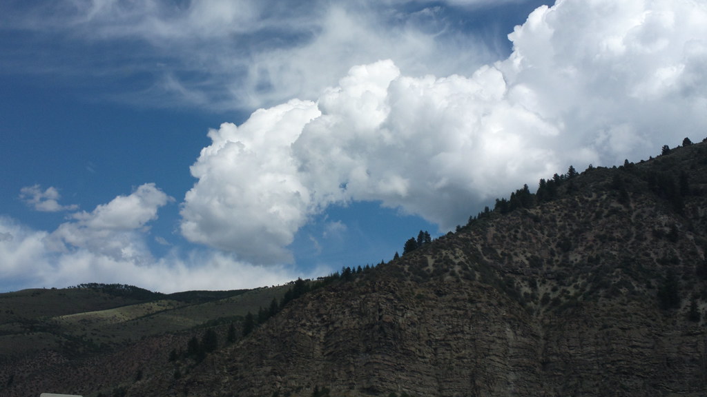 Photo: roland, CC BY 2.0 (via Flickr)
Davos Trail
~7 min drive
Davos Trail is a 1.98-mile trail in Colorado with 400 feet of elevation gain.
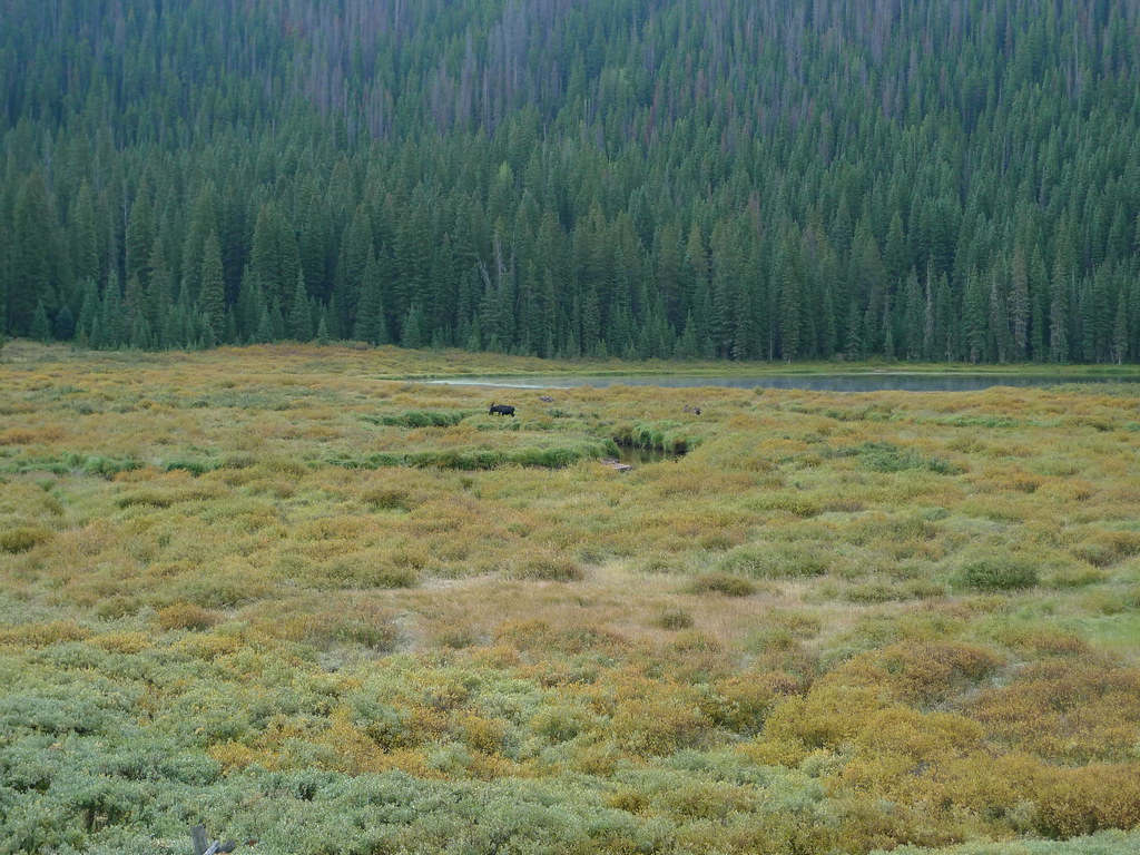 Photo: jl_2, CC BY-SA 2.0 (via Flickr)
Lost Lake
~7 min drive
8.45-mile out-and-back trail to Lost Lake in Colorado, 227 ft gain, 10,263 ft max elevation
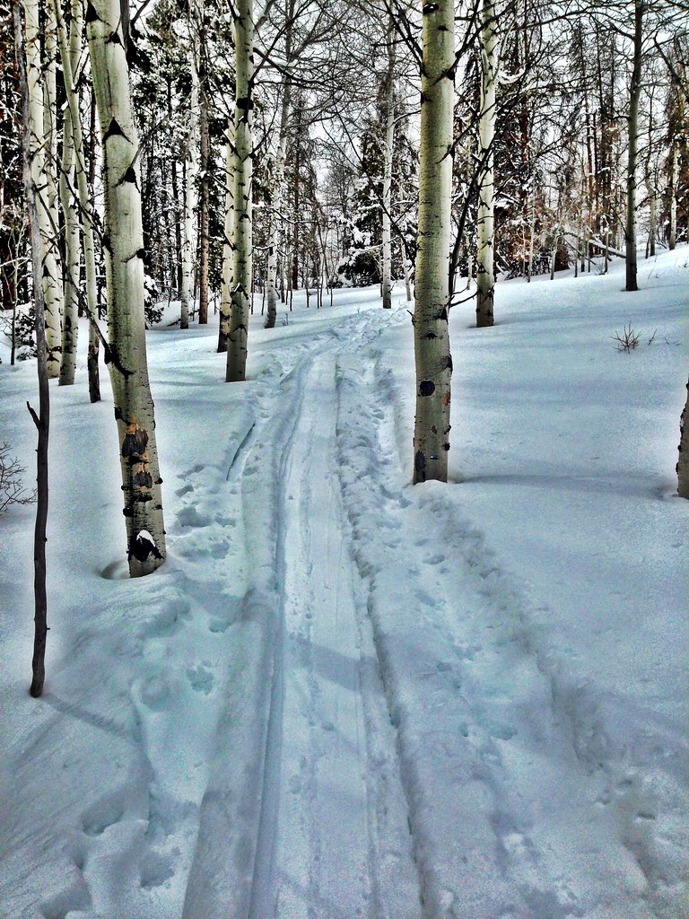 Photo: jrm353, CC BY 2.0 (via Flickr)
Hay Meadow
~8 min drive
5.70-mile out-and-back trail in Colorado's White River National Forest with 1,362 ft gain.
Photo: toastal_OLD, CC BY 2.0 (via Flickr)East Partner Peak
~8 min drive
Route to the summit of East Partner Peak (13,058 ft) from Gore Valley Trail.
HIKE
Village Streamwalk
~2 min drive
A short lollipop trail in Colorado that connects to the Recreation Path System, ideal for a quick walk.
Photo: jrm353, CC BY 2.0 (via Flickr)Cougar Ridge
~8 min drive
10.56-mile out-and-back trail in Colorado with 2,154 ft elevation gain.
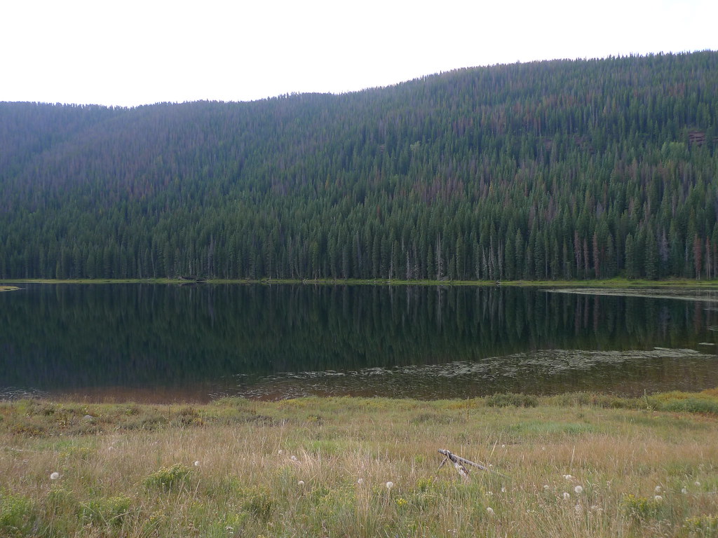 Photo: jl_2, CC BY-SA 2.0 (via Flickr)
Lost Lake to Piney
~7 min drive
3.14-mile out-and-back trail from Lost Lake to Piney in Colorado's White River National Forest.
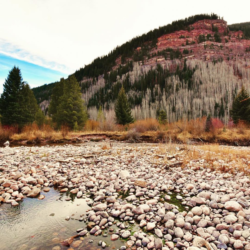 Photo: Scott McLeod, CC BY 2.0 (via Flickr)
North Traverse
~8 min drive
Route to the summit of North Traverse (13,084 ft) from Gore Valley Trail.
HIKE
Back to Nature Trail
~3 min drive
0.09-mile lollipop trail in Colorado with 8 ft of elevation gain.

