Village Streamwalk
- 0.4 mi
- distance
- 35 ft
- climb
- 8,210 ft
- high point
- Lollipop
- route
- Jun–Sep
- best months
Is Village Streamwalk open right now?
Alert in the area
The Forest Service lists 6 alerts for White River National Forest.
FSR 286, Radical Hill, is closed due to washouts and unsafe conditions
Agency alert covering White River National Forest · USFS · White River National Forest
Limited parking at Snowmass Creek Trailhead
Agency alert covering White River National Forest · USFS · White River National Forest
Grizzly Creek Trail Closure
Agency alert covering White River National Forest · Order 2026-02 · USFS · White River National Forest
Ruedi Marina Day Use area Dump Station is CLOSED
Agency alert covering White River National Forest · USFS · White River National Forest
Asbestos safety closure - Camp Hale
Agency alert covering White River National Forest · USFS · White River National Forest
As of · Source: USFS · White River National Forest. Agencies don't list every closure — check before you go.
Village Streamwalk is a 0.4-mile lollipop trail located in Colorado. This short route is ideal for casual walkers and families seeking a quick outdoor excursion. The trail's lollipop design features a loop section that returns to the starting point, making it easy to navigate and suitable for all skill levels. The compact distance makes Village Streamwalk perfect for those with limited time who still want to experience a nearby natural setting. The trail follows a stream corridor, offering the soothing presence of flowing water throughout your walk. This short duration allows visitors to explore the streamside environment without requiring significant time commitment or extensive hiking experience. Perfect for a brief break from daily routines or as a warm-up hike before tackling longer trails in the area, Village Streamwalk provides an accessible way to enjoy Colorado's natural landscape. The trail's proximity to Colorado makes it a convenient option for locals and travelers passing through the region.
Go with a guide
- Mineral Belt Trail Guided WalkRoamze · $25 per person · 27 mi away
- Rancho Del Rio22 mi away
Best time to go · Jun–Sep
Best time to visit Village Streamwalk
Best months: June–September. Best months have typical highs of 55–85 °F, lows of 30 °F or warmer (32 °F where the station doesn't record snow), at most one snowy day and no more than 12 wet days.
Jan
29° / 7°
12 wet
Feb
33° / 9°
11 wet
Mar
42° / 17°
10 wet
Apr
49° / 24°
9 wet
May
60° / 31°
9 wet
Jun
71° / 36°
8 wet
Jul
77° / 42°
10 wet
Aug
74° / 41°
11 wet
Sep
67° / 34°
9 wet
Oct
54° / 25°
7 wet
Nov
38° / 15°
9 wet
Dec
28° / 7°
11 wet
Typical high / low (°F) and days with rain or snow, 1991–2020. Measured at Vail, CO, 0.9 mi away at 8,304 ft. This station doesn't record snowfall. Source: NOAA NCEI U.S. Climate Normals 1991–2020.
Keep exploring — more trails worth the drive
 Photo: toastal_OLD, CC BY 2.0 (via Flickr)
West Partner Peak
~5 min drive
Route to the summit of West Partner Peak (13,054 ft) from the trailhead.
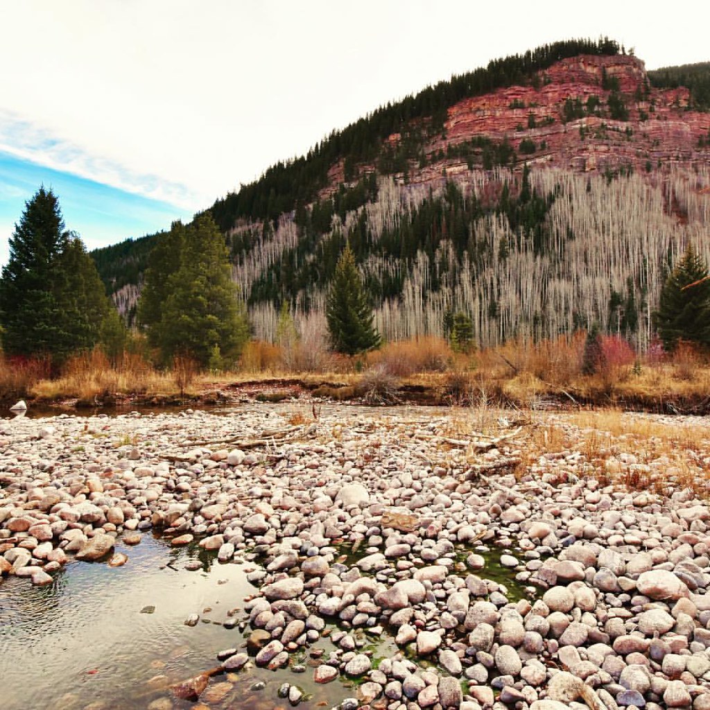 Photo: Scott McLeod, CC BY 2.0 (via Flickr)
Bighorn
~7 min drive
6.85-mile out-and-back trail in Colorado's White River National Forest with 1,787 ft gain.
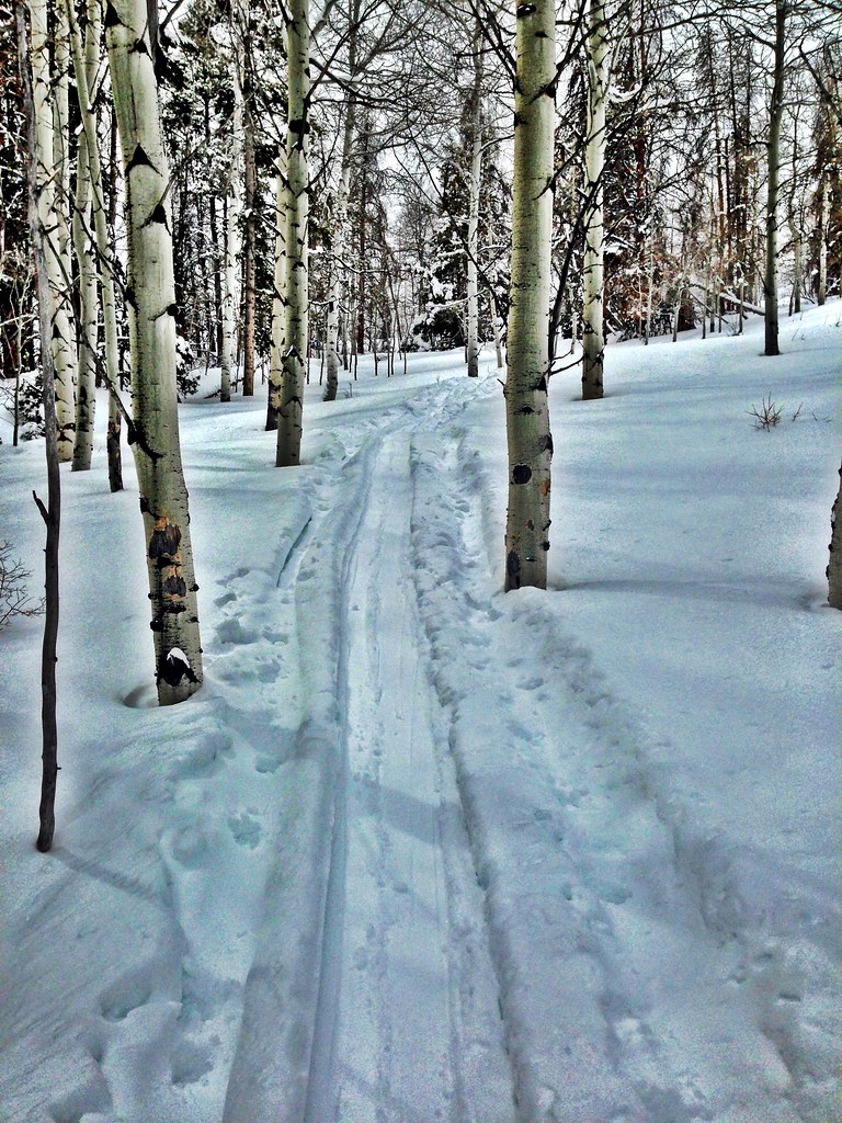 Photo: jrm353, CC BY 2.0 (via Flickr)
Hay Meadow
~8 min drive
5.70-mile out-and-back trail in Colorado's White River National Forest with 1,362 ft gain.
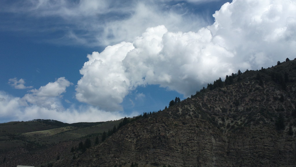 Photo: roland, CC BY 2.0 (via Flickr)
Davos Trail
~8 min drive
Davos Trail is a 1.98-mile trail in Colorado with 400 feet of elevation gain.
Photo: toastal_OLD, CC BY 2.0 (via Flickr)East Partner Peak
~6 min drive
Route to the summit of East Partner Peak (13,058 ft) from Gore Valley Trail.
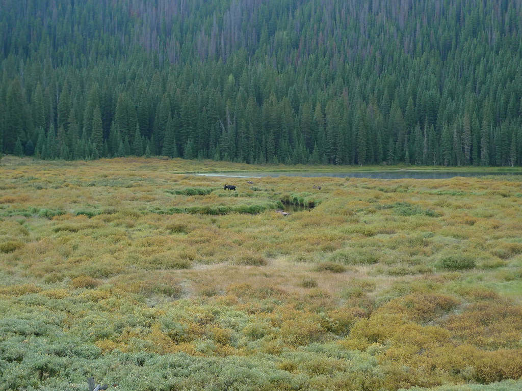 Photo: jl_2, CC BY-SA 2.0 (via Flickr)
Lost Lake
~8 min drive
8.45-mile out-and-back trail to Lost Lake in Colorado, 227 ft gain, 10,263 ft max elevation
HIKE
Son of Middle Creek
~2 min drive
8.26-mile out-and-back trail in Colorado with 1,596 ft gain and max elevation 9,684 ft.
HIKE
Back to Nature Trail
Next door
0.09-mile lollipop trail in Colorado with 8 ft of elevation gain.
Photo: Scott McLeod, CC BY 2.0 (via Flickr)North Traverse
~6 min drive
Route to the summit of North Traverse (13,084 ft) from Gore Valley Trail.
Photo: jrm353, CC BY 2.0 (via Flickr)Cougar Ridge
~7 min drive
10.56-mile out-and-back trail in Colorado with 2,154 ft elevation gain.


Map and trail data © OpenStreetMap contributors
