North Traverse
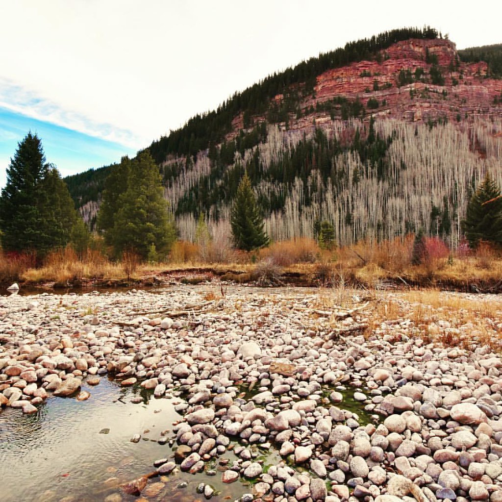 Photo: Scott McLeod, CC BY 2.0 (via Flickr)
- 10.3 mi
- round trip
- 5,841 ft
- climb
- 13,084 ft
- high point
- Out and back
- route
Caution today
Agency alerts are in effect for this area; weather is marginal · USFS, OpenWeather · checked just now
Is North Traverse open right now?
Alert in the area
The Forest Service lists 6 alerts for White River National Forest.
FSR 286, Radical Hill, is closed due to washouts and unsafe conditions
Agency alert covering White River National Forest · USFS · White River National Forest
Limited parking at Snowmass Creek Trailhead
Agency alert covering White River National Forest · USFS · White River National Forest
Grizzly Creek Trail Closure
Agency alert covering White River National Forest · Order 2026-02 · USFS · White River National Forest
Ruedi Marina Day Use area Dump Station is CLOSED
Agency alert covering White River National Forest · USFS · White River National Forest
Asbestos safety closure - Camp Hale
Agency alert covering White River National Forest · USFS · White River National Forest
As of · Source: USFS · White River National Forest. Agencies don't list every closure — check before you go.
North Traverse is a 10.3-mile out-and-back hike in Colorado's White River National Forest, within the Holy Cross Ranger District. The route climbs to a high point of 13,084 feet, with a total elevation gain of 5,841 feet over the course of the trip. It is an expert-level route, and the Forest Service manages the land. The climb is a long one, and the route is best suited to hikers with experience on high, steep terrain. The estimated time for the trip is about 6.5 hours. The Grand Traverse and East Partner Peak hikes both start within a tenth of a mile of this route. Pitkin, a lake fishing spot, is about 0.2 miles away, and Gore Creek, a canoeing stream, is about 0.9 miles away.
Go with a guide
- Mineral Belt Trail Guided WalkNexPM AI · $25 per person · 27 mi away
- Rancho Del Rio24 mi away
 Grand TraverseHikingPhoto: toastal_OLD, CC BY 2.0 (via Flickr)0.1 mi
- East Partner PeakHikingPhoto: toastal_OLD, CC BY 2.0 (via Flickr)0.1 mi
- PitkinLake fishing0.2 mi
 Gore CreekCanoeingPhoto: Jeffrey Beall, CC BY 3.0 (via Wikimedia Commons)0.9 mi
- Booth Creek BouldersRock climbingPhoto: toastal_OLD, CC BY 2.0 (via Flickr)1.1 mi
- Easter Egg BoulderRock climbing1.2 mi
 Gore Creek CampgroundCampingPhoto: KimonBerlin — CC BY-SA 2.0 (via Flickr)2 mi
- Piney Designated Dispersed SiteCamping7.9 mi
Source: Roamze catalog (indexable pages within 10 miles, PostGIS distance)
- East Partner PeakHiking · Next doorPhoto: toastal_OLD, CC BY 2.0 (via Flickr)
- Vail - Frisco Rec PathHiking · ~3 min drivePhoto: Scott McLeod, CC BY 2.0 (via Flickr)
 Trail near Shrine PassHiking · ~11 min drivePhoto: KimonBerlin, CC BY-SA 2.0 (via Flickr)
- Deluge LakeHiking · ~3 min drive
- West Partner PeakHiking · ~2 min drivePhoto: toastal_OLD, CC BY 2.0 (via Flickr)
- BighornHiking · ~1 min drivePhoto: Scott McLeod, CC BY 2.0 (via Flickr)
- Vail TrailHiking · ~4 min drive
- Son of Middle CreekHiking · ~8 min drive
- Mount SolitudeHiking · Next door
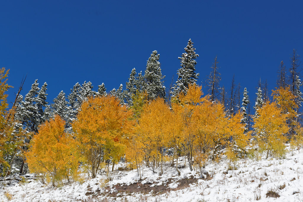 Bowman's ShortcutHiking · ~10 min drivePhoto: KimonBerlin, CC BY-SA 2.0 (via Flickr)
Also worth it near here
© openrouteservice.org by HeiGIT | Map data © OpenStreetMap contributors
