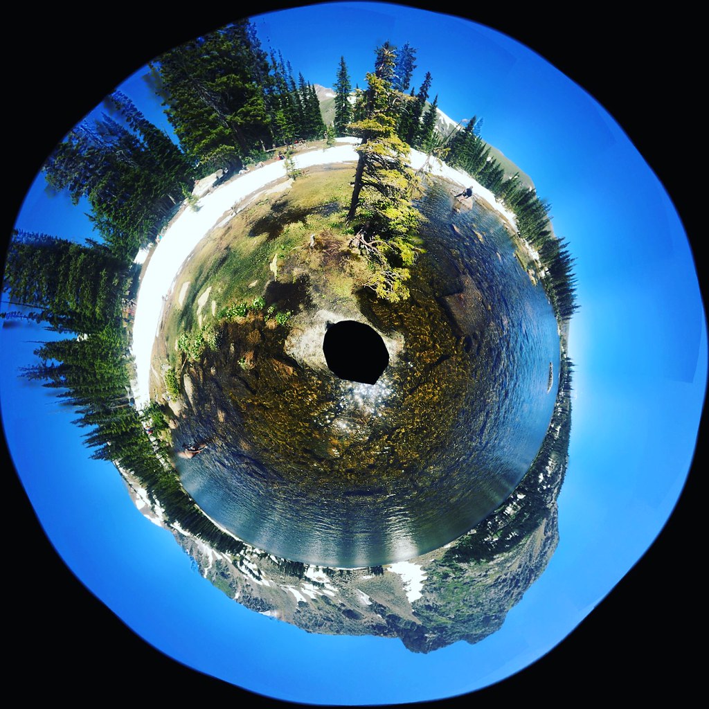
Swamp Rock
Swamp Rock in Colorado has 1 climbing route rated 5.11a with mixed protection.
- 1 route
- 5.10
- Mixed
Is Swamp Rock open right now?
Alert in the area
The Forest Service lists 3 alerts for Arapaho and Roosevelt National Forests.
Fire Restrictions
Agency alert covering Arapaho and Roosevelt National Forests · USFS · Arapaho and Roosevelt National Forests
Caribou Road Closure Order
Agency alert covering Boulder Ranger District · Order 02-10-01-26-04 · USFS · Boulder Ranger District
Raptor Nesting Area Closure - Boulder Ranger District
Agency alert covering Boulder Ranger District · Order 02-10-01-26-06 · USFS · Boulder Ranger District
As of · Source: USFS · Arapaho and Roosevelt National Forests. Agencies don't list every closure — check before you go.
Best time to visit Swamp Rock
Best months: June and September. Best months have typical highs of 55–85 °F, lows of 30 °F or warmer (32 °F where the station doesn't record snow), at most one snowy day and no more than 12 wet days.
Jan
29° / 12°
15 wet
Feb
28° / 11°
16 wet
Mar
36° / 17°
16 wet
Apr
40° / 22°
17 wet
May
50° / 29°
16 wet
Jun
62° / 36°
12 wet
Jul
68° / 43°
14 wet
Aug
66° / 41°
13 wet
Sep
59° / 34°
10 wet
Oct
47° / 26°
10 wet
Nov
35° / 19°
12 wet
Dec
28° / 12°
15 wet
Typical high / low (°F) and days with rain or snow, 1991–2020. Measured at Boulder 14 W, CO, 5.1 mi away at 9,828 ft. This station doesn't record snowfall. Source: NOAA NCEI U.S. Climate Normals 1991–2020.
Swamp Rock is a climbing area in the Boulder Ranger District of the Arapaho and Roosevelt National Forests in Colorado, about 1.2 miles from Chittenden Mtn and within the Boulder Ranger District managed by the Forest Service. Eldora, another climbing area, sits about 2 miles away, and Rainbow Lakes Campground is about 2.9 miles off. Summer is the most comfortable time to visit. Typical July averages from a nearby weather station run around 68°F for highs and 43°F for lows, and September is slightly cooler with highs near 59°F. Winter is cold, with typical January highs around 29°F. The closest hiking is on Chittenden Mtn, and the Devil's Thumb Trail is about 1.6 miles away for mountain biking. Eldora Summer Slab, another climbing area, is about 2.7 miles off.
Routes (1)
Keep exploring — more climbs worth the drive
 Photo: PLeia2, CC BY 2.0 (via Flickr)
The Main Pinecliffe Crag
~15 min drive
Main Pinecliffe Crag is a 7-route climbing area in Colorado with mixed climbing and grades from 5.10a to 5.11c.
Eldora
~3 min drive
Eldora is a climbing crag in Colorado with 1 route.
Eldora Summer Slab
~5 min drive
Eldora Summer Slab in Colorado has 8 routes across 5 grades, offering mixed and traditional climbing.
Noah's Ark
~8 min drive
Noah's Ark in Colorado has 9 bouldering routes across 7 grades.
Forbidden Fruit Crag
~11 min drive
5 routes at Forbidden Fruit Crag in Colorado span 4 difficulty grades, offering sport and trad climbing.
The Sky Cafe
~11 min drive
Sky Cafe, The in Colorado has 11 climbing routes across 9 grades, offering sport and trad options.
Overhung Wall
~11 min drive
Overhung Wall in Colorado has 5 sport climbing routes on 4 difficulty grades.
Upper Wall
~11 min drive
Upper Wall in Colorado has 20 routes across 16 grades, offering bouldering, sport, and trad climbing.
Chicken Wall
~11 min drive
Chicken Wall in Colorado has 9 climbing routes across 8 grades, offering sport and trad options.
The Visor
~11 min drive
The Visor is a Colorado climbing crag with 9 sport routes.