No-See-Um Trail
- 5.6 mi
- distance
- 1,800 ft
- climb
- Moderate
- difficulty
- Jun–Sep
- best months
Is No-See-Um Trail open right now?
Alert in the area
The Forest Service lists 3 alerts for Arapaho and Roosevelt National Forests.
Fire Restrictions
Agency alert covering Arapaho and Roosevelt National Forests · USFS · Arapaho and Roosevelt National Forests
Fire Restrictions
Agency alert covering Sulphur Ranger District · USFS · Sulphur Ranger District
Permanent Recreational Shooting Order
Agency alert covering Sulphur Ranger District · Order 02-10-00-25-02 · USFS · Sulphur Ranger District
As of · Source: USFS · Arapaho and Roosevelt National Forests. Agencies don't list every closure — check before you go.
The No-See-Um Trail is a moderate hike in Colorado's Arapaho and Roosevelt National Forests, within the Sulphur Ranger District. It covers about 5.6 miles with a total elevation gain of 1,800 feet, and the Forest Service manages the surrounding land. Summer is the most comfortable time to go. Typical July averages from the nearby Williams Fork Dam weather station run around 79°F for highs and 44°F for lows, while winter brings frequent snow days, with highs near freezing from December through February. The hike takes about three hours. Horseshoe Campground sits about half a mile away, and Keyser Ridge is about 0.4 miles off. Equinox Gardens, a climbing area, and Williams Peak, another hike, are both within about a mile and a quarter.
Go with a guide
- Mineral Belt Trail Guided WalkNexPM AI · $25 per person · 46 mi away
- Rancho Del Rio28 mi away
- KEYSER RIDGEHiking0.4 mi
- Horseshoe CampgroundCamping0.5 mi
- Equinox GardensRock climbing0.7 mi
- Williams PeakHiking1.2 mi
 Williams ForkCanoeingPhoto: US Geological Survey, Public domain (via Wikimedia Commons)1.6 mi
- Richey Creek TrailHiking3.9 mi
- South Fork CampgroundCamping7.5 mi
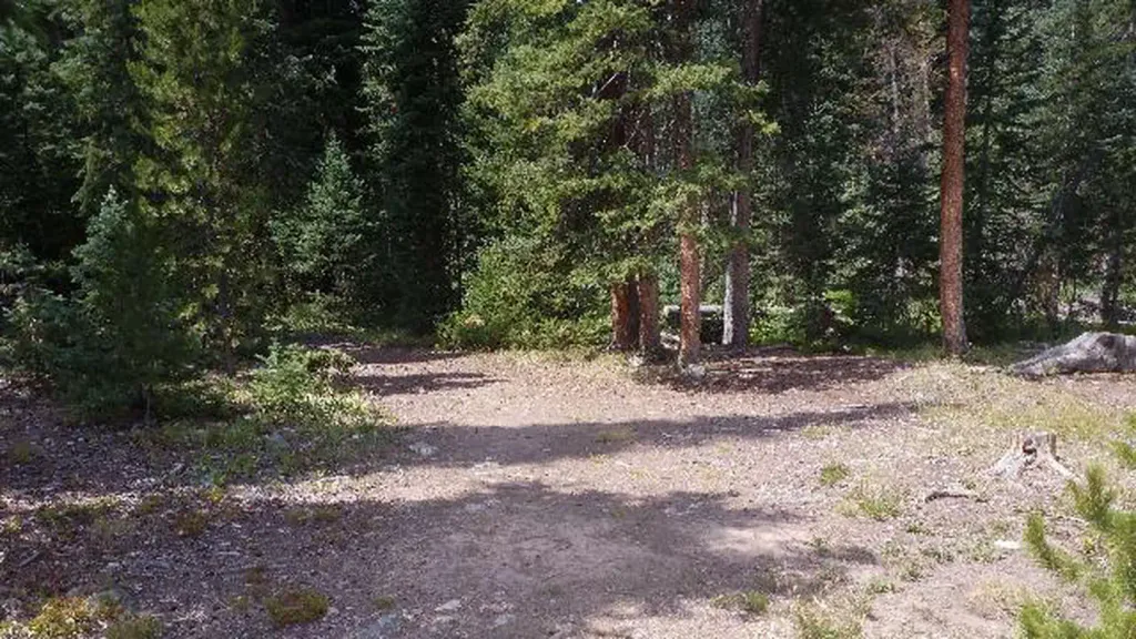 South Fork Group Site - Arapaho NF (CO)CampingPhoto: Recreation.gov (RIDB) / public domain7.6 mi
Source: Roamze catalog (indexable pages within 10 miles, PostGIS distance)
 KINNEY CREEKHiking · ~8 min drivePhoto: jtsmmm, CC BY 3.0 (via Wikimedia Commons)
 Darling CreekHiking · ~13 min drivePhoto: jtsmmm, CC BY 3.0 (via Wikimedia Commons)
- KEYSER RIDGEHiking · Next door
- BEAVER CREEKHiking · ~16 min drive
- Williams Fork BoardwalkHiking · ~13 min drivePhoto: jtsmmm, CC BY 3.0 (via Wikimedia Commons)
- Williams PeakHiking · ~2 min drive
- KEYSER RIDGEHiking · ~7 min drive
 Waterfall TrailHiking · ~15 min drivePhoto: denverkid, CC BY 2.0 (via Flickr)
- Ute PeakHiking · ~10 min drive
- KEYSER RIDGE LOOPHiking · ~7 min drive
Best time to visit No-See-Um Trail
Best months: June–September. Best months have typical highs of 55–85 °F, lows of 30 °F or warmer (32 °F where the station doesn't record snow), at most one snowy day and no more than 12 wet days.
Jan
26° / 0°
10 wet · 8 snow
Feb
31° / 4°
9 wet · 7 snow
Mar
42° / 15°
8 wet · 6 snow
Apr
52° / 24°
10 wet · 4 snow
May
62° / 32°
9 wet · 2 snow
Jun
73° / 38°
8 wet
Jul
79° / 44°
9 wet
Aug
77° / 43°
10 wet
Sep
70° / 35°
8 wet
Oct
57° / 25°
7 wet · 2 snow
Nov
41° / 15°
8 wet · 6 snow
Dec
28° / 4°
9 wet · 7 snow
Typical high / low (°F) and days with rain or snow, 1991–2020. Measured at Williams Fork Dam, CO, 11.6 mi away at 7,618 ft. We don't have this place's elevation, so higher spots nearby can run cooler. Source: NOAA NCEI U.S. Climate Normals 1991–2020.
Map and trail data © OpenStreetMap contributors
