Lincoln Creek dispersed campsite #8
Campground
Campground · 1.7 mi from the trail
Caution at last check
Agency alerts are in effect for this area; weather is marginal · USFS, OpenWeather · checked 21 h ago
Alert in the area
The Forest Service lists 6 alerts for White River National Forest.
FSR 286, Radical Hill, is closed due to washouts and unsafe conditions
Agency alert covering White River National Forest · USFS · White River National Forest
Limited parking at Snowmass Creek Trailhead
Agency alert covering White River National Forest · USFS · White River National Forest
Grizzly Creek Trail Closure
Agency alert covering White River National Forest · Order 2026-02 · USFS · White River National Forest
Ruedi Marina Day Use area Dump Station is CLOSED
Agency alert covering White River National Forest · USFS · White River National Forest
Asbestos safety closure - Camp Hale
Agency alert covering White River National Forest · USFS · White River National Forest
As of · Source: USFS · White River National Forest. Agencies don't list every closure — check before you go.
New York Creek is a 7.6-mile out-and-back hike in the Collegiate Peaks Wilderness, part of the Aspen Ranger District of White River National Forest in Colorado. The Forest Service manages the land, and the trail is rated moderate, with a one-way climb of 1,842 feet from a low point of about 10,081 feet to a high of about 12,313 feet. The trail is on natural surface, and horses are allowed. Bikes are not. That makes it a good fit for a horseback ride or a day on foot. Tabor Creek lies about 1.8 miles away, and Lincoln Creek offers canoeing about 2 miles off. Climbers can head to Reese's Pieces, about 2.3 miles away, and Lincoln Creek Dispersed Campground sits about 2.9 miles from the trail.
Lincoln Creek dispersed campsite #8
Campground
 If it rainsLongled, CC BY-SA 3.0 · Wikimedia Commons
Historic frontier synagogue building
Places © OpenStreetMap contributors, Places © Overture Maps Foundation · Photos: Longled, CC BY-SA 3.0 (commons)
More in LeadvilleSource: Roamze catalog (indexable pages within 10 miles, PostGIS distance)
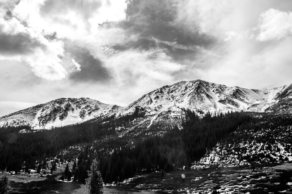 Lost Man LoopHiking · ~7 min drivePhoto: markbyzewski, CC BY 2.0 (via Flickr)
 Twining PeakHiking · ~7 min drivePhoto: markbyzewski, CC BY 2.0 (via Flickr)
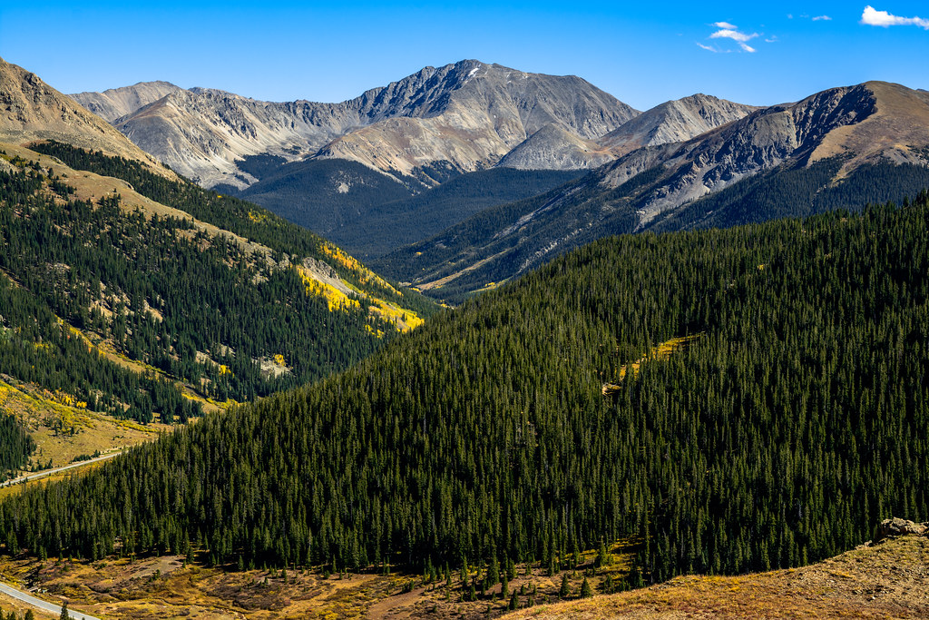 Independance Pass OverlookHiking · ~11 min drivePhoto: dconvertini, CC BY-SA 2.0 (via Flickr)
 MOUNTAIN BOYHiking · ~13 min drivePhoto: Toshihiro Matsui, CC BY-SA 3.0 (via Wikimedia Commons)Deer MountainHiking · ~14 min drivePhoto: Toshihiro Matsui, CC BY-SA 3.0 (via Wikimedia Commons)
 Linkins LakeHiking · ~10 min drivePhoto: markbyzewski, CC BY 2.0 (via Flickr)
 North Fork Lake CreekHiking · ~14 min drivePhoto: markbyzewski, CC BY 2.0 (via Flickr)

