Dakota Terraces Campground
Campground
Campground · 0.4 mi from the trail
 Photo: Tony Webster, CC BY 2.0 (via Flickr)
Pinon Ridge Picnic Loop is a short 0.2-mile out-and-back trail located in Colorado. This brief route offers an accessible option for visitors seeking a quick walk in the area. The trail's minimal distance makes it suitable for families with young children, older adults, or anyone looking for a leisurely stroll rather than a strenuous hike. The elevation gain information is not available for this trail. Given its proximity to picnic facilities suggested by the name, this route likely serves as a connector or short nature walk near a developed recreation area. The out-and-back format means hikers will retrace their steps along the same path. Pinon Ridge Picnic Loop works well as a warm-up hike, a break during a longer outdoor outing, or a standalone visit for those with limited time. Check with local Colorado parks and recreation resources for current trail conditions, seasonal accessibility, and any facilities available at the trailhead.
Dakota Terraces Campground
Campground
Kate's Place
Restaurant
Places © OpenStreetMap contributors
More in TellurideNot on Roamze yet. Their page has how to reach them.
Best months: May–September. Best months have typical highs of 55–85 °F, lows of 30 °F or warmer (32 °F where the station doesn't record snow), at most one snowy day and no more than 12 wet days.
Jan
40° / 7°
6 wet
Feb
44° / 12°
6 wet
Mar
52° / 20°
7 wet
Apr
59° / 26°
8 wet
May
70° / 34°
7 wet
Jun
81° / 39°
5 wet
Jul
85° / 46°
10 wet
Aug
82° / 45°
11 wet
Sep
76° / 36°
8 wet
Oct
64° / 26°
6 wet
Nov
51° / 16°
6 wet
Dec
40° / 8°
7 wet
Typical high / low (°F) and days with rain or snow, 1991–2020. Measured at Ridgway, CO, 5.1 mi away at 7,049 ft. This station doesn't record snowfall. Source: NOAA NCEI U.S. Climate Normals 1991–2020.
 Photo: iagoarchangel, CC BY-SA 2.0 (via Flickr)
Enchanted Mesa Trail
Next door
5.3-mile out-and-back hike in Colorado with 2,614 ft elevation gain and loss.
Photo: Tony Webster, CC BY 2.0 (via Flickr)Mule Deer Meadow Trail
Next door
A nearly one-mile out-and-back trail in Colorado that links to the Dakota Terraces trail network.
 Photo: daveynin, CC BY 2.0 (via Flickr)
NATE CREEK
~14 min drive
14.04-mile out-and-back trail in Colorado with 4,697 ft elevation gain and loss.
Photo: daveynin, CC BY 2.0 (via Flickr)STEALEY MOUNTAIN SPUR
~15 min drive
3.04-mile out-and-back trail in Colorado with 1,530 ft gain/loss and a max elevation of 9,766 ft.
Photo: daveynin, CC BY 2.0 (via Flickr)Old Owl Creek Trail
~15 min drive
6.38-mile out-and-back trail in Colorado with 2,536 ft elevation gain.
Photo: Tony Webster, CC BY 2.0 (via Flickr)Wapiti Trail
~1 min drive
1.1 mi · Easy
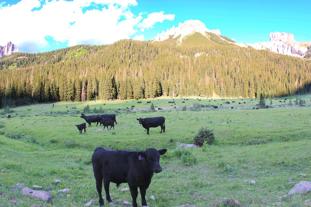 Photo: daveynin, CC BY 2.0 (via Flickr)
OWL CREEK PASS SNO
~18 min drive
23.82-mile out-and-back trail in Colorado with 2,826 ft elevation gain/loss
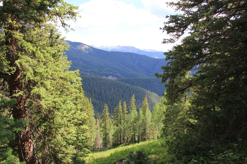 Photo: daveynin, CC BY 2.0 (via Flickr)
Courthouse Mountain
~18 min drive
1.76-mile out-and-back trail in Colorado with 831 ft elevation gain.
HIKE
OLD OWL CREEK
~12 min drive
7.74-mile out-and-back trail in Colorado with 3,196 ft elevation gain and loss.
Photo: iagoarchangel, CC BY-SA 2.0 (via Flickr)Forest Discovery Trail
~1 min drive
1.2 mi · Easy
Map and trail data © OpenStreetMap contributors


