Pawnee Campground
Campground
Campground · 3.0 mi from the trail
 Photo: Leavit2stever, CC BY-SA 4.0 (via Wikimedia Commons)
Alert in the area
The Forest Service lists 3 alerts for Arapaho and Roosevelt National Forests.
Fire Restrictions
Agency alert covering Arapaho and Roosevelt National Forests · USFS · Arapaho and Roosevelt National Forests
Caribou Road Closure Order
Agency alert covering Boulder Ranger District · Order 02-10-01-26-04 · USFS · Boulder Ranger District
Raptor Nesting Area Closure - Boulder Ranger District
Agency alert covering Boulder Ranger District · Order 02-10-01-26-06 · USFS · Boulder Ranger District
As of · Source: USFS · Arapaho and Roosevelt National Forests. Agencies don't list every closure — check before you go.
Mount Audubon is a summit in Boulder County, Colorado, inside the Indian Peaks Wilderness. The peak falls within the Boulder Ranger District of the Arapaho and Roosevelt National Forests and is managed by the Forest Service. Ward, about 6 miles away, is the nearest town. Because the summit sits in designated wilderness, it belongs to a larger protected landscape with three layers of oversight: the Indian Peaks Wilderness itself, the Boulder Ranger District, and the surrounding national forest. The Boulder Ranger District is the office responsible for this part of the Indian Peaks. Several other destinations lie close by. The Little Blue Lake Route is about 0.7 miles away, and Mitchell Lake, about 1.2 miles off, offers mountain biking. Climbers can look to Shoshoni Peak, about 2.5 miles away, while Pawnee Campground, about 3 miles from the summit, offers camping.
Pawnee Campground
Campground
Rock Creek Tavern and Pizzeria
Restaurant
 If it rainsMatt Golon, CC BY-SA 3.0 · Wikimedia Commons
Places © OpenStreetMap contributors · Photos: Matt Golon, CC BY-SA 3.0 (commons)
More in Estes ParkDaily highs and lows, wind and the chance of precipitation at the summit and route start for the next 7 days, from the Open-Meteo model.
Elevation from USGS 3D Elevation Program terrain data (about 10 m resolution).
| Mount Audubon | Paiute Peak | |
|---|---|---|
| Starts at | Beaver Creek Trailhead | Niwot Picnic Area |
| Climbing | About 1,831 ft | About 4,064 ft |
| Round trip | 4.4 mi | 10.8 mi |
| Difficulty | Moderate | Expert |
| Terrain | Hike | Hike |
| Season | June 1 – October 31 | — |
13,215 ft (4,028 m).
2: Mount Audubon and Paiute Peak.
Mount Audubon, about 4.4 mi round trip.
Mount Audubon starts at Beaver Creek Trailhead (about 11,380 ft). Paiute Peak starts at Niwot Picnic Area.
June 1 – October 31.


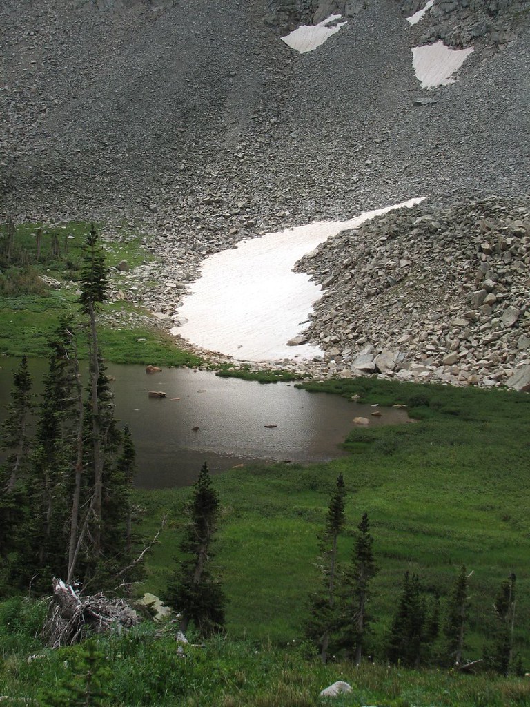 Little Blue Lake RouteHikingPhoto: Ben Makuh, CC BY-SA 2.0 (via Flickr)0.7 mi
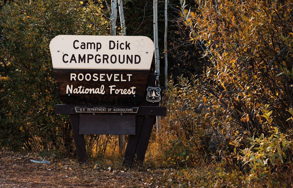 Camp Dick CampgroundCampingPhoto: Tony Webster — CC BY-SA 2.0 (via Flickr)5.6 mi
Source: Roamze catalog (indexable pages within 10 miles, PostGIS distance)
 Mount TollSummit · ~2 min drivePhoto: relaxednow, CC BY 2.0 (via Wikimedia Commons)Pawnee PeakSummit · ~3 min drivePhoto: relaxednow, CC BY 2.0 (via Wikimedia Commons)
 Sawtooth MountainSummit · ~3 min drivePhoto: Niranjan Arminius, CC BY-SA 4.0 (via Wikimedia Commons)Shoshoni PeakSummit · ~4 min drivePhoto: Owen Richard, CC BY-SA 2.0 (via Wikimedia Commons)
 Lone Eagle PeakSummit · ~5 min drivePhoto: Steven Bratman, CC BY 2.0 (via Wikimedia Commons)Apache PeakSummit · ~6 min drivePhoto: Bob Denaro, CC BY 3.0 (via Wikimedia Commons)
 Navajo PeakSummit · ~6 min drivePhoto: RSido, CC0 (via Wikimedia Commons)
 North Arapaho PeakSummit · ~9 min drivePhoto: Barry Dale Gilfry, CC BY-SA 2.0 (via Wikimedia Commons)
 South Arapaho PeakSummit · ~10 min drivePhoto: Leavit2stever, CC BY-SA 4.0 (via Wikimedia Commons)
 Mount NevaSummit · ~13 min drivePhoto: Scott Teresi, CC BY-SA 2.0 (via Wikimedia Commons)
