Breckenridge Area
Campground
Campground · 1.9 mi from the trail
 Photo: Juan Ortega, CC BY 3.0 (via Wikimedia Commons)
Alert in the area
The Forest Service lists 6 alerts for White River National Forest.
FSR 286, Radical Hill, is closed due to washouts and unsafe conditions
Agency alert covering White River National Forest · USFS · White River National Forest
Limited parking at Snowmass Creek Trailhead
Agency alert covering White River National Forest · USFS · White River National Forest
Grizzly Creek Trail Closure
Agency alert covering White River National Forest · Order 2026-02 · USFS · White River National Forest
Ruedi Marina Day Use area Dump Station is CLOSED
Agency alert covering White River National Forest · USFS · White River National Forest
Asbestos safety closure - Camp Hale
Agency alert covering White River National Forest · USFS · White River National Forest
As of · Source: USFS · White River National Forest. Agencies don't list every closure — check before you go.
Lehman Trail is a short, easy hike in the Dillon Ranger District of White River National Forest in Colorado, managed by the Forest Service. The trail is about 0.4 miles one way, with a total round-trip distance of roughly 0.8 miles. It rises about 53 feet from the start, and the steepest part comes at about 0.34 miles in, with a grade of about 14 percent. Summer is the most comfortable time to go. Typical averages from the nearby Climax weather station show July highs around 67°F with lows near 40°F, and snow is common from November through April. That station sits about 950 feet higher than the trail, so temperatures on the trail run a little warmer. The Wanderer mountain biking trail is just 0.1 mile away, and the Prospector trail is about 0.4 mile off. The Blue River, a canoeing route, is about 0.9 mile away, and the Breckenridge climbing area is about 1.4 miles away.
Breckenridge Area
Campground
 If it rainsJeremy Olson, CC BY-SA 4.0 · Wikimedia Commons
Places © OpenStreetMap contributors · Photos: Jeremy Olson, CC BY-SA 4.0 (commons)
More in LeadvilleSource: Roamze catalog (indexable pages within 10 miles, PostGIS distance)
Trail near Sawmill ReservoirHiking · ~1 min drivePhoto: Juan Ortega, CC BY 3.0 (via Wikimedia Commons)Burro TrailHiking · ~2 min drivePhoto: Juan Ortega, CC BY 3.0 (via Wikimedia Commons) Wheeler Nat. Rec. Trail - ColoradoHiking · ~4 min drivePhoto: randomduck, CC BY-SA 2.0 (via Flickr)
 Peak Six TrailHiking · ~4 min drivePhoto: zappowbang, CC BY-SA 2.0 (via Flickr)
 Betty's TrailHiking · ~4 min drivePhoto: vwcampin, CC BY 2.0 (via Flickr)
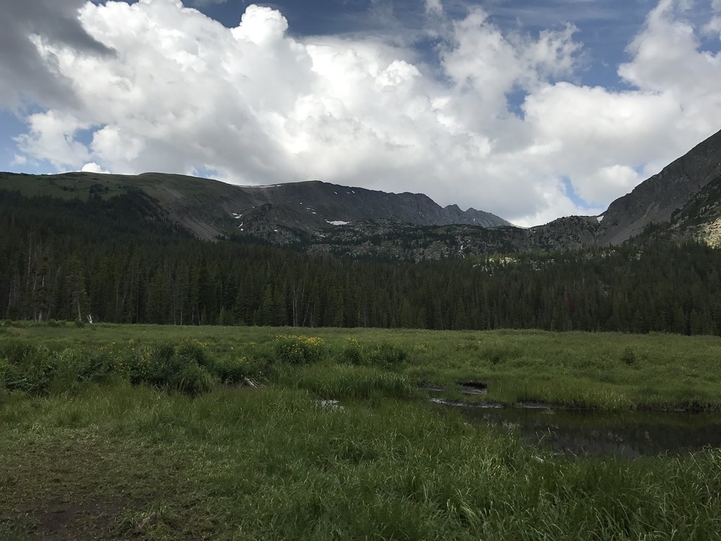 Mount HelenHiking · ~4 min drivePhoto: ChrisYunker, CC BY 2.0 (via Flickr)
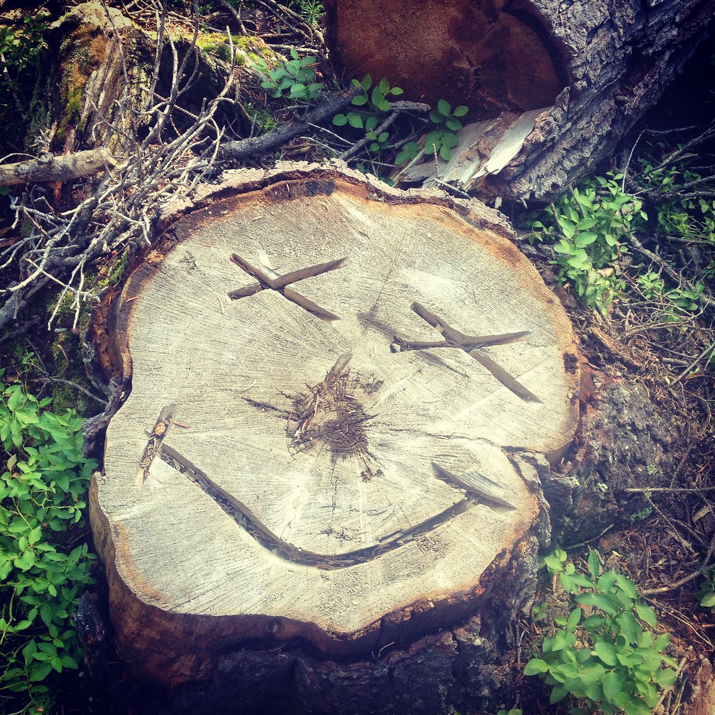 Spruce Creek TrailHiking · ~4 min drivePhoto: Lorie Shaull, CC BY 2.0 (via Flickr)
 Crystal LakeHiking · ~4 min drivePhoto: ChrisYunker, CC BY 2.0 (via Flickr)
No month here meets our mild-weather rule. Best months have typical highs of 55–85 °F, lows of 30 °F or warmer (32 °F where the station doesn't record snow), at most one snowy day and no more than 12 wet days.
Jan
27° / 3°
15 wet · 15 snow
Feb
29° / 3°
15 wet · 15 snow
Mar
35° / 8°
14 wet · 14 snow
Apr
40° / 15°
13 wet · 13 snow
May
49° / 25°
10 wet · 8 snow
Jun
61° / 34°
8 wet · 2 snow
Jul
67° / 40°
13 wet
Aug
64° / 39°
15 wet
Sep
58° / 32°
11 wet · 2 snow
Oct
47° / 21°
9 wet · 7 snow
Nov
35° / 11°
12 wet · 12 snow
Dec
27° / 3°
15 wet · 15 snow
Typical high / low (°F) and days with rain or snow, 1991–2020. Measured at Climax, CO, 9.5 mi away at 11,344 ft. The station sits about 900 ft higher than this place, so expect it a little warmer here. Source: NOAA NCEI U.S. Climate Normals 1991–2020.
Map and trail data © OpenStreetMap contributors


