Breckenridge Area
Campground
Campground · 4.2 mi from the trail
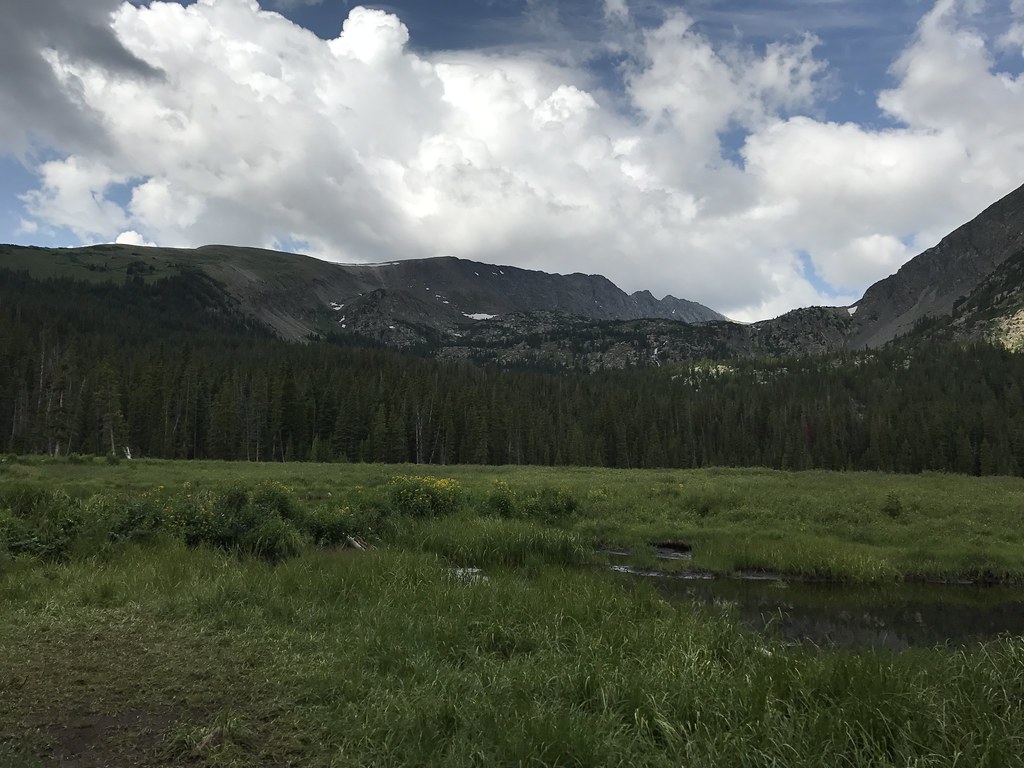 Photo: ChrisYunker, CC BY 2.0 (via Flickr)
Alert in the area
The Forest Service lists 6 alerts for White River National Forest.
FSR 286, Radical Hill, is closed due to washouts and unsafe conditions
Agency alert covering White River National Forest · USFS · White River National Forest
Limited parking at Snowmass Creek Trailhead
Agency alert covering White River National Forest · USFS · White River National Forest
Grizzly Creek Trail Closure
Agency alert covering White River National Forest · Order 2026-02 · USFS · White River National Forest
Ruedi Marina Day Use area Dump Station is CLOSED
Agency alert covering White River National Forest · USFS · White River National Forest
Asbestos safety closure - Camp Hale
Agency alert covering White River National Forest · USFS · White River National Forest
As of · Source: USFS · White River National Forest. Agencies don't list every closure — check before you go.
Mount Helen is a hard out-and-back hike in Colorado's White River National Forest, within the Dillon Ranger District. The route is about 4 miles long, with a total elevation gain of roughly 2,900 feet, and the high point reaches 13,176 feet. The Forest Service manages the land. The climb is a significant one. The route starts near Mayflower Lakes, about 0.1 mile away, and the trail gains about 2,900 feet over the course of the hike. The trip takes about 3 hours, and the total loss on the way back is the same as the gain. Several other destinations sit close by. Spruce Creek, a mountain biking area, is about 0.6 mile away, and the Spruce Creek (Mohawk Lakes) #58 fishing spot is about 1.2 miles off. Quandary Peak, a climbing area, is about 2.9 miles away, and the Blue River, a canoeing route, is about 3.2 miles away.
Breckenridge Area
Campground
 If it rainsPlazak, CC BY 3.0 · Wikimedia Commons
Matchless Mine
Attraction
Places © OpenStreetMap contributors, Places © Overture Maps Foundation · Photos: Plazak, CC BY 3.0 (commons)
More in LeadvilleDaily highs and lows, wind and the chance of precipitation at the summit and route start for the next 7 days, from the Open-Meteo model.
Mayflower LakesHikingPhoto: ChrisYunker, CC BY 2.0 (via Flickr)0.1 miSource: Roamze catalog (indexable pages within 10 miles, PostGIS distance)
Mayflower LakesHiking · Next doorPhoto: ChrisYunker, CC BY 2.0 (via Flickr) Crystal LakeHiking · ~2 min drivePhoto: ChrisYunker, CC BY 2.0 (via Flickr)
 Red MountainHiking · ~5 min drivePhoto: Kevin R Foote, CC BY-SA 3.0 (via Wikimedia Commons)
 Wheeler Nat. Rec. Trail - ColoradoHiking · ~5 min drivePhoto: randomduck, CC BY-SA 2.0 (via Flickr)
 Spruce Creek TrailHiking · ~2 min drivePhoto: Lorie Shaull, CC BY 2.0 (via Flickr)
 Burro TrailHiking · ~3 min drivePhoto: Juan Ortega, CC BY 3.0 (via Wikimedia Commons)
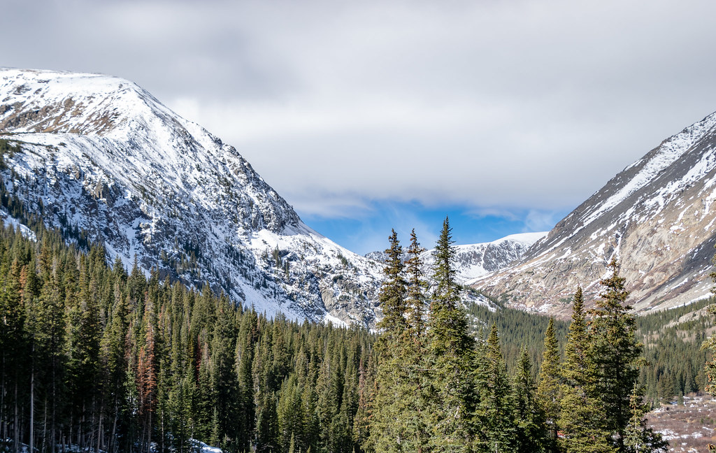 Quandary PeakHiking · ~5 min drivePhoto: TerryDOtt, CC BY 2.0 (via Flickr)Wheeler MountainHiking · ~6 min drivePhoto: Kevin R Foote, CC BY-SA 3.0 (via Wikimedia Commons)
 Blue River TrailHiking · ~3 min drivePhoto: nan palmero, CC BY 2.0 (via Flickr)Fredonia GulchHiking · ~3 min drivePhoto: nan palmero, CC BY 2.0 (via Flickr)
About 4.1 mi round trip from Mayflower Lakes Trailhead.
About 2,892 ft of climbing round trip.
It is rated hard.
Mayflower Lakes Trailhead.
© openrouteservice.org by HeiGIT | Map data © OpenStreetMap contributors

