
Lostfork Basecamp
Hiking business nearby (~23 mi away) — hasn't claimed their Roamze page yet
6.29-mile out-and-back hike near Peak 8 in Colorado with 2,421 ft gain
Closure in the area
There's a closure order in White River National Forest. It doesn't name Trail near Peak 8, so check the source for the area it covers (2 listed).
Green Mountain Reservoir and Ruedi boat ramps closed for the season
Agency closure covering White River National Forest · USFS · White River National Forest
Eagle-Thomasville (400), Burnt Mtn (506), plus NFSR 414 and 416 openings delayed to June 16
Agency closure covering White River National Forest · USFS · White River National Forest
FSR 314, Crystal River Road, open but be prepared for delays
Agency alert covering White River National Forest · USFS · White River National Forest
FSR 286, Radical Hill, is closed due to washouts and unsafe conditions
Agency alert covering White River National Forest · USFS · White River National Forest
White River National Forest lifting fire restrictions on Friday Sept. 25
Agency alert covering White River National Forest · Order 2026 · USFS · White River National Forest
As of · Source: USFS · White River National Forest. Agencies don't list every closure — check before you go.
Trail near Peak 8 is a 12.6-mile out-and-back hike in Colorado with 2,421 feet of elevation gain. The trail follows an out-and-back route type.
 Photo: ChrisYunker, CC BY 2.0 (via Flickr)
Crystal Lake
~1 min drive
5.44-mile out-and-back hike to Crystal Lake in Colorado's White River National Forest
Photo: ChrisYunker, CC BY 2.0 (via Flickr)Trail near Lower Crystal Lake
~1 min drive
0.31-mile out-and-back trail near Lower Crystal Lake in Colorado.
Photo: ChrisYunker, CC BY 2.0 (via Flickr)Spruce Creek
~3 min drive
8.63-mile out-and-back trail in Colorado's White River National Forest with 2,478 ft gain.
 Photo: randomduck, CC BY-SA 2.0 (via Flickr)
Wheeler Nat. Rec. Trail - Colorado
~3 min drive
27.35-mile point-to-point trail in Colorado with 4,009 ft elevation gain.
 Photo: Juan Ortega, CC BY 3.0 (via Wikimedia Commons)
Burro Trail
~5 min drive
6.46-mile out-and-back hike in Colorado's White River National Forest with 1,011 ft gain.
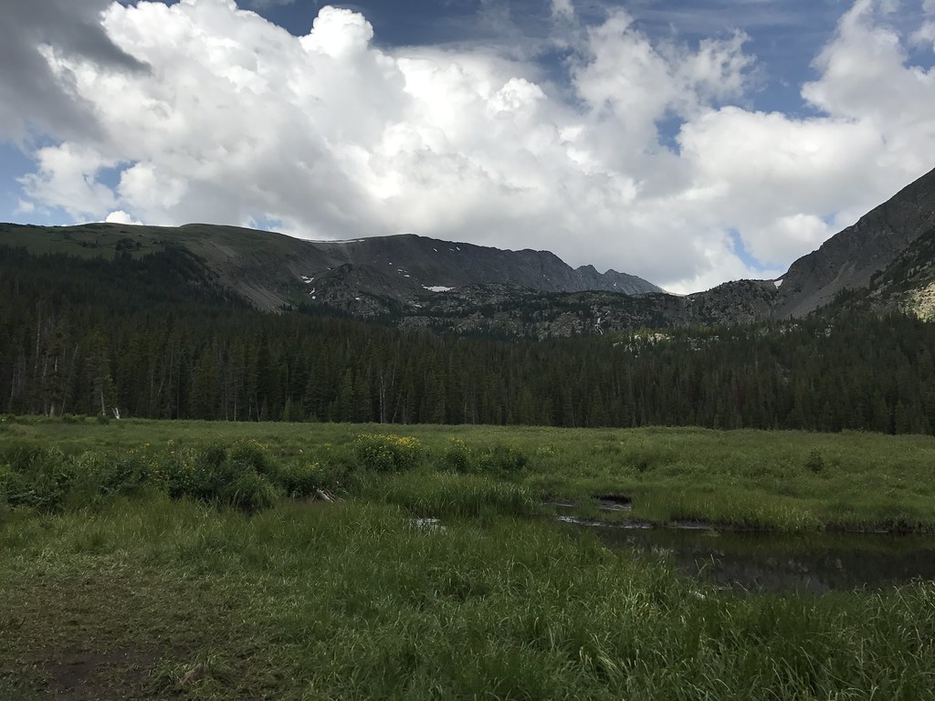 Photo: ChrisYunker, CC BY 2.0 (via Flickr)
Mayflower Lakes
~3 min drive
1.43-mile out-and-back trail to Mayflower Lakes in Colorado's White River National Forest
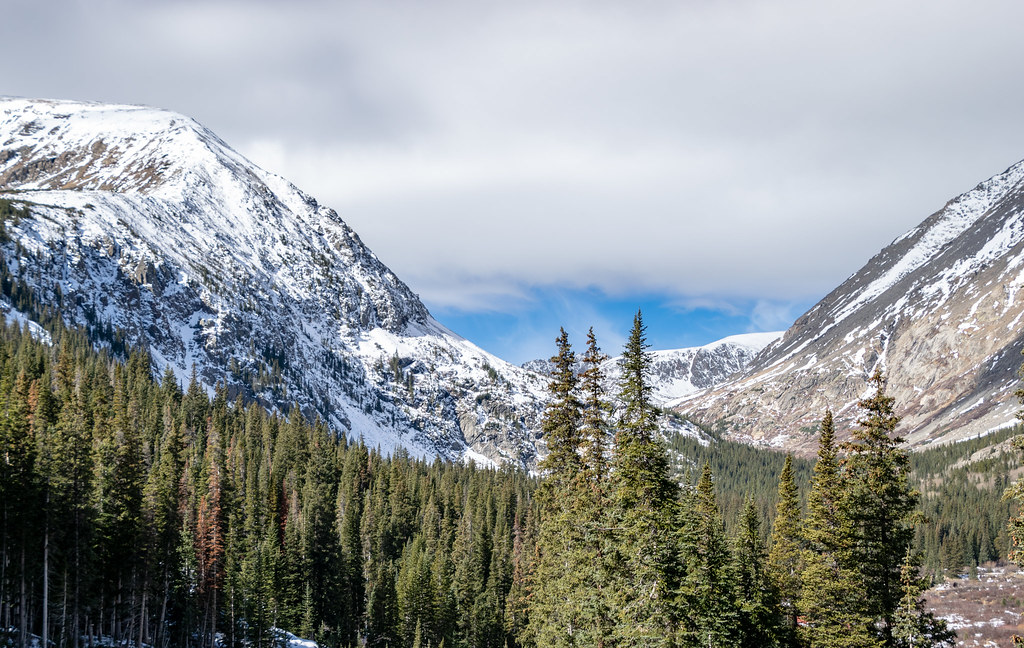 Photo: TerryDOtt, CC BY 2.0 (via Flickr)
Quandary Peak
~7 min drive
Standard route to Quandary Peak (14,265 ft) from Quandary Peak Trailhead (East Ridge).
Photo: ChrisYunker, CC BY 2.0 (via Flickr)Mount Helen
~3 min drive
Route to the summit of Mount Helen (13,176 ft) from Mayflower Lakes Trailhead.
 Photo: vwcampin, CC BY 2.0 (via Flickr)
Game Trail
~5 min drive
5.08-mile out-and-back trail in Colorado with 1,895 ft elevation gain
 Photo: Lorie Shaull, CC BY 2.0 (via Flickr)
Spruce Creek Trail
~4 min drive
Spruce Creek Trail is a hiking trail in Colorado.
About 6.3 mi round trip.
About 2,421 ft of climbing round trip.
It is rated expert.
Daily highs and lows, wind and the chance of precipitation at the summit and route start for the next 7 days, from the Open-Meteo model.
Map and trail data © OpenStreetMap contributors
Outfitters and businesses. They haven’t set up their Roamze page yet.
Lostfork Basecamp
Hiking business nearby (~23 mi away) — hasn't claimed their Roamze page yet
Camp Always Choose Adventures
Hiking business nearby (~38 mi away) — hasn't claimed their Roamze page yet
Arrowhead Point Campground and Cabins
Hiking business nearby (~39 mi away) — hasn't claimed their Roamze page yet
