Rifle Mountain Park
Campground
Campground · 2.4 mi from the trail
Alert in the area
The Forest Service lists 6 alerts for White River National Forest.
FSR 286, Radical Hill, is closed due to washouts and unsafe conditions
Agency alert covering White River National Forest · USFS · White River National Forest
Limited parking at Snowmass Creek Trailhead
Agency alert covering White River National Forest · USFS · White River National Forest
Grizzly Creek Trail Closure
Agency alert covering White River National Forest · Order 2026-02 · USFS · White River National Forest
Ruedi Marina Day Use area Dump Station is CLOSED
Agency alert covering White River National Forest · USFS · White River National Forest
Asbestos safety closure - Camp Hale
Agency alert covering White River National Forest · USFS · White River National Forest
As of · Source: USFS · White River National Forest. Agencies don't list every closure — check before you go.
Last Chance is a hard hike in the Rifle Ranger District of Colorado's White River National Forest, about 21 miles long. It is an out-and-back route that climbs from about 8,049 feet to about 9,253 feet, with a total elevation gain of 1,662 feet. The trail is natural-surfaced and accessible, and both horses and bikes are allowed. The Forest Service lists it as accessible. The closest neighbors are Cherry Creek, just 0.4 miles away, and Clark Point at 1.5 miles. Rifle Mountain Park offers camping about 2.4 miles off, and the Meat Wall climbing area sits about 2.6 miles away.
Rifle Mountain Park
Campground
Elk Creek Bar & Grill
Restaurant
Thermal springs in Colorado
Places © OpenStreetMap contributors
More in Glenwood SpringsNot on Roamze yet. Their page has how to reach them.
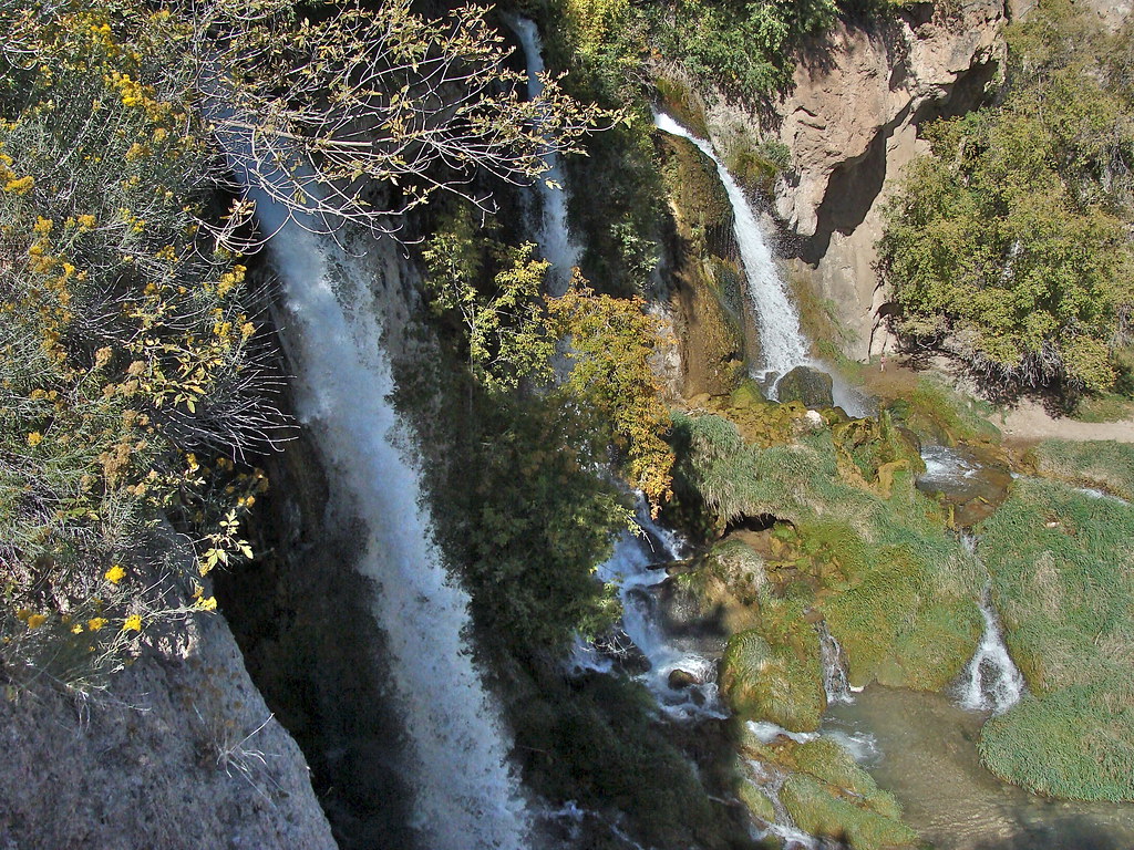 Photo: iagoarchangel, CC BY-SA 2.0 (via Flickr)
Bobcat Trail
~7 min drive
1.74-mile out-and-back trail in Colorado with 788 ft elevation gain
 Photo: Mike Allbee, CC BY-SA 3.0 (via Wikimedia Commons)
Squirrel Trail
~8 min drive
0.94-mile loop trail in Colorado with 274 ft gain and 311 ft loss.
HIKE
Cherry Creek
Next door
11.05-mile out-and-back trail in Colorado with 1,998 ft elevation gain.
 Photo: Mike Allbee, CC BY-SA 3.0 (via Wikimedia Commons)
Coulter Mesa State Trail
~10 min drive
5.78-mile trail in Colorado with 1,200 ft elevation gain.
HIKE
Clark Point
~3 min drive
1.66-mile out-and-back trail in Colorado's White River National Forest with 239 ft gain.
HIKE
Clark Ridge Trail
~7 min drive
7.33-mile out-and-back hike in Colorado's White River National Forest with 878 ft gain.
HIKE
Last Chance Tie
~4 min drive
3.61-mile out-and-back trail in Colorado with 1,220 ft gain and 9,288 ft max elevation.
HIKE
CHERRY CREEK CONNECTOR
~3 min drive
2.72-mile out-and-back trail in Colorado with 901 ft elevation gain and loss.
HIKE
Mansfield Ditch
~8 min drive
19 mi · Hard
HIKE
Main Elk
~9 min drive
4.16-mile out-and-back trail in Colorado on the White River National Forest.

