
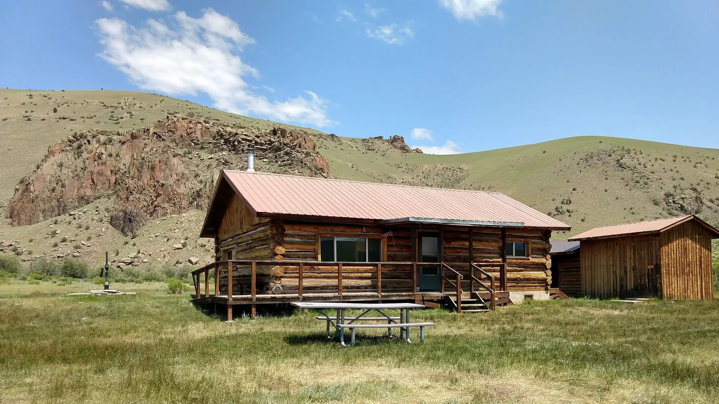

Blue Creek Lodge
Hiking business nearby (~14 mi away) — hasn't claimed their Roamze page yet
Free — you'll pick up right here.
Watch this trail
Sign up to watch it — saving subscribes you to gate, closure and report changes.
Colorado
13.8 mi
Distance
1,384 ft
Gain
We won't guess. Here is exactly what we do and don't know.
What we do know
Inside Rio Grande National Forest
3 managing-area boundaries mapped — agency alerts for them feed this page automatically.
Boundary data
What's missing
No access route mapped
We don't yet know which road reaches this trailhead, so we can't tell you if it's gated.
Nobody's filed a report here yet — be the first.
Why you'll love it
Halfmoon Pass
AI-suggested draft · review before you go
Halfmoon Pass is a 13.8-mile out-and-back trail located in Colorado near Colorado, managed by the Ouray Ranger District of the Grand Mesa, Uncompahgre and Gunnison National Forests. This backcountry route offers access to alpine terrain and remote mountain scenery characteristic of the Uncompahgre Plateau region. The out-and-back format means hikers will cover approximately 6.9 miles to reach the pass before retracing their route. The trail traverses through varied terrain typical of high-elevation Colorado wilderness areas. Being situated within GMUG National Forest, the area provides access to pristine backcountry conditions and opportunities for extended exploration. Hikers should prepare for changing mountain weather conditions and bring adequate water and supplies for the full distance. The trail is suitable for those with solid hiking experience and proper fitness levels for extended mileage. Those planning to visit should contact the Ouray Ranger District for current trail conditions and any seasonal closures that may affect access. A detailed topographic map is recommended for navigation in this remote area.

Miners Creek
~5 min drive
1.0 mi · Easy

Whale Creek
~6 min drive
11 mi · Hard
Unknown Creek
~6 min drive
5.5 mi · Moderate

Wheeler Loop
~10 min drive
A challenging 2.50-mile out-and-back trail in Colorado connected to TR 790, ideal for experienced hikers seeking a strenuous adventure.
South Fork Saguache
~6 min drive
13 mi · Hard

Cascade Creek
~22 min drive
5.7 mi · Moderate

Wason Park Cut-Off
~12 min drive
2.2 mi · Easy
Machin Basin
~9 min drive
16 mi · Hard
Benito Creek
~7 min drive
4.3 mi · Moderate

San Luis Peak
~17 min drive
2.7 mi · Easy
Local operatorsoffering guided trips. You book directly with them — Roamze doesn’t take a cut.
Blue Creek Lodge
Hiking business nearby (~14 mi away) — hasn't claimed their Roamze page yet
Grizzly RT RV Park
Hiking business nearby (~37 mi away) — hasn't claimed their Roamze page yet
Crazy Horse Outfitters
Hiking business nearby (~43 mi away) — hasn't claimed their Roamze page yet