Stone Cellar Guard Station
Campground
Campground · 6.1 mi from the trail
Closure in the area
There's a closure order in Rio Grande National Forest. It doesn't name Unknown Creek, so check the source for the area it covers.
Closures and dangerous conditions on roads, bridges, and trails from flooding
Agency closure covering Rio Grande National Forest · USFS · Rio Grande National Forest
As of · Source: USFS · Rio Grande National Forest. Agencies don't list every closure — check before you go.
Unknown Creek is a 5.5-mile out-and-back hike in the La Garita Wilderness, part of the Saguache Ranger District of Rio Grande National Forest in Colorado. The Forest Service manages the land, and the trail lies entirely within designated wilderness. The hike gains about 844 feet from the low point at 10,286 feet to the high at 11,134 feet. It is a natural-surface trail, and bikes are not allowed, so plan on walking. Summer is the most comfortable time to go. Typical averages from a nearby weather station run to highs around 72°F in July, while temperatures on the trail run cooler because that station sits well below the route. Winters are cold, with January highs near 35°F and lows around 2°F. The South Fork Saguache and Whale Creek hikes both start within a quarter mile. Stone Cellar Campground and Stone Cellar Guard Station, about 6 miles away, are the closest places to camp.
Stone Cellar Guard Station
Campground
Two Rivers BBQ
Restaurant
Creede Underground Mining Museum
Museum
Places © OpenStreetMap contributors
More in South ForkNot on Roamze yet. Their page has how to reach them.
Source: Roamze catalog (indexable pages within 10 miles, PostGIS distance)
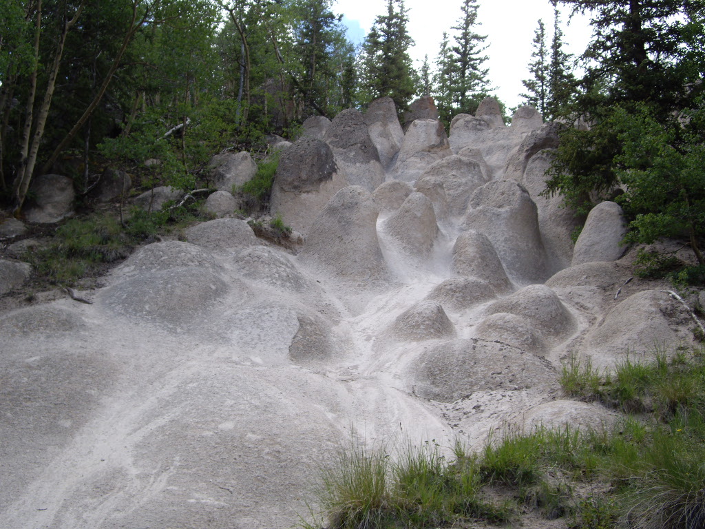 Wheeler LoopHiking · ~9 min drivePhoto: C. K. Hartman, CC BY 2.0 (via Flickr)
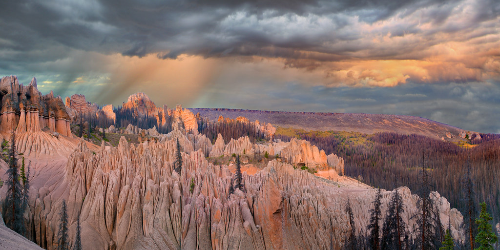 Wason Park Cut-OffHiking · ~11 min drivePhoto: snowpeak, CC BY 2.0 (via Flickr)
Best months: June and September. Best months have typical highs of 55–85 °F, lows of 30 °F or warmer (32 °F where the station doesn't record snow), at most one snowy day and no more than 12 wet days.
Jan
35° / 2°
7 wet
Feb
36° / 3°
7 wet
Mar
42° / 12°
7 wet
Apr
48° / 19°
7 wet
May
58° / 27°
8 wet
Jun
68° / 34°
7 wet
Jul
72° / 40°
15 wet
Aug
70° / 39°
15 wet
Sep
64° / 33°
11 wet
Oct
55° / 23°
7 wet
Nov
43° / 13°
5 wet
Dec
34° / 2°
7 wet
Typical high / low (°F) and days with rain or snow, 1991–2020. Measured at Santa Maria Rsvr, CO, 23.5 mi away at 9,687 ft. The station sits about 1,400 ft lower than this place, so expect it a little cooler here. This station doesn't record snowfall. Source: NOAA NCEI U.S. Climate Normals 1991–2020.

