S. Zapata
 Photo: Fredlyfish4, CC BY-SA 4.0 (via Wikimedia Commons)
- 9.7 mi
- round trip
- 2,811 ft
- climb
- 11,877 ft
- high point
- Out and back
- route
S. Zapata is a 9.7-mile out-and-back trail located in Colorado near the town of Colorado, within the Grand Valley Ranger District of the Grand Mesa, Uncompahgre and Gunnison National Forest. This moderate distance trail offers an accessible option for hikers seeking to explore the high country of western Colorado's national forest lands. The trail provides a straightforward out-and-back format, allowing hikers to turn around at their preferred point or complete the full distance for a roughly 19-mile round trip experience. The area is managed by the United States Forest Service through the Grand Valley Ranger District, ensuring maintained trail conditions and adherence to national forest regulations. S. Zapata is well-suited for day hikers looking to experience the terrain and scenery characteristic of the GMUG National Forest region. Weather and seasonal conditions should be considered before planning a visit, as mountain weather can change rapidly. For the most current trail conditions and specific regulations, contact the Grand Valley Ranger District directly or consult official Forest Service resources.
Local outfitters
- San Luis Valley Campground47 mi away
Not on Roamze yet. Their page has how to reach them.
- N. Fork ZapataHikingPhoto: Fredlyfish4, CC BY-SA 4.0 (via Wikimedia Commons)0.6 mi
- South Zapata Lake TrailMountain biking0.8 mi
- Zapata Falls TrailMountain biking0.9 mi
- Zapata Falls CampgroundCampingPhoto: Fredlyfish4, CC BY-SA 4.0 (via Wikimedia Commons)1.1 mi
 California PeakHikingPhoto: Eric Johnson, CC BY-SA 3.0 (via Wikimedia Commons)1.1 mi
 Oasis CampgroundCampingPhoto: Thomson M, CC BY 3.0 (via Wikimedia Commons)5.1 mi
- Great Sand Dunes OasisCamping5.2 mi
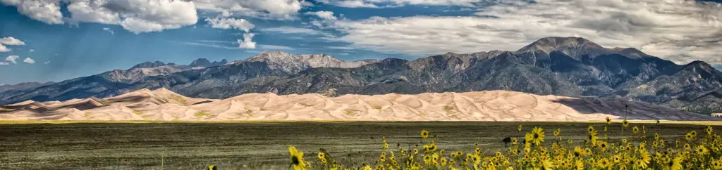 Pinon Flats CampgroundCampingPhoto: Recreation.gov (RIDB) / public domain9 mi
Source: Roamze catalog (indexable pages within 10 miles, PostGIS distance)
- N. Fork ZapataHiking · Next doorPhoto: Fredlyfish4, CC BY-SA 4.0 (via Wikimedia Commons)
- Twin PeaksHiking · ~2 min drivePhoto: Eric Johnson, CC BY-SA 3.0 (via Wikimedia Commons)
 Interpretive Loop TrailHiking · ~14 min drivePhoto: joannapoe, CC BY-SA 2.0 (via Flickr)
- Medano CreekHiking · ~15 min drive
- RaspberryHiking · ~3 min drive
- Lily LakeHiking · ~6 min drive
- California PeakHiking · ~2 min drivePhoto: Eric Johnson, CC BY-SA 3.0 (via Wikimedia Commons)
- Wellington Ditch TrailHiking · ~14 min drivePhoto: joannapoe, CC BY-SA 2.0 (via Flickr)
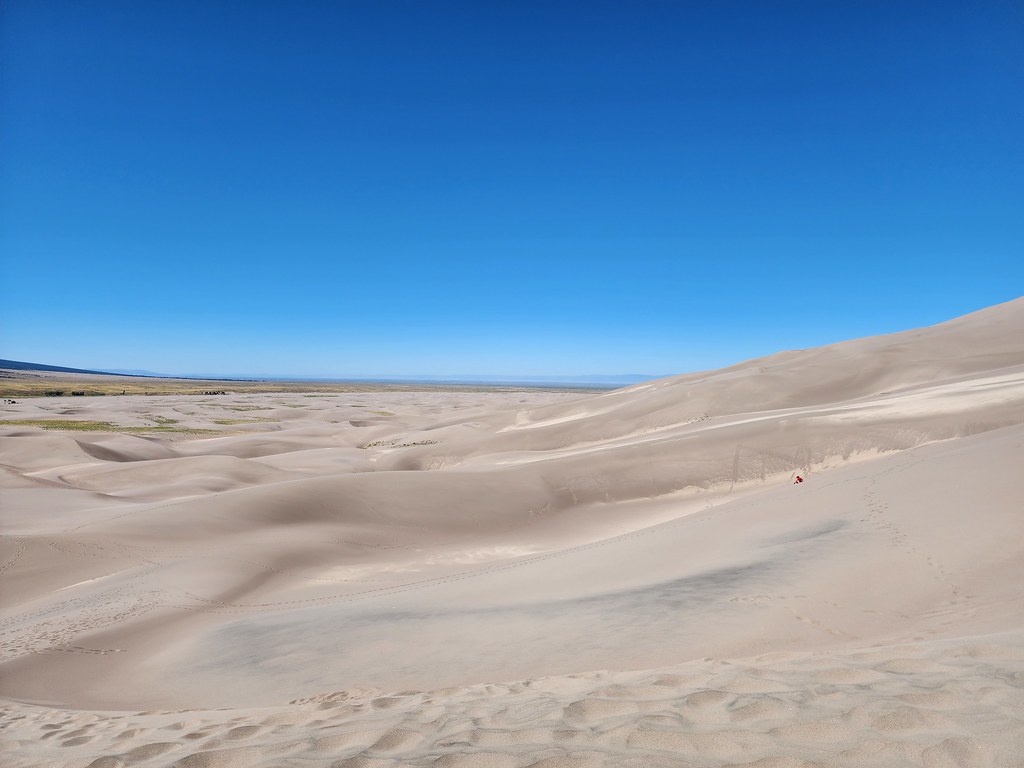 The DunefieldHiking · ~15 min drivePhoto: quinn.anya, CC BY-SA 2.0 (via Flickr)
- ZapataHiking · ~7 min drive

