California Peak
 Photo: Eric Johnson, CC BY-SA 3.0 (via Wikimedia Commons)
- 9.0 mi
- round trip
- 6,125 ft
- climb
- 13,848 ft
- high point
- Out and back
- route
California Peak is an out-and-back hike in Colorado's Rio Grande National Forest, managed by the Forest Service. The route is about 9 miles long, with a total elevation gain of 6,125 feet, and the summit sits at 13,848 feet. It is an expert-level climb, and the round trip involves about 6,125 feet of ascent and descent. The peak's high point makes it a natural objective for a day in the high country. The route is long and steep, and the climb is best suited to experienced hikers who can plan for a full day on the trail. Twin Peaks lies just 0.1 mile away, and Zapata Falls Trail and Zapata Falls Campground are both within a third of a mile. Oasis Campground is about 4.8 miles off.
Local outfitters
- San Luis Valley Campground46 mi away
Not on Roamze yet. Their page has how to reach them.
Conditions and forecast on California Peak
Daily highs and lows, wind and the chance of precipitation at the summit and route start for the next 7 days, from the Open-Meteo model.
- Twin PeaksHikingPhoto: Eric Johnson, CC BY-SA 3.0 (via Wikimedia Commons)0.1 mi
- Zapata Falls TrailMountain biking0.2 mi
 Zapata Falls CampgroundCampingPhoto: Fredlyfish4, CC BY-SA 4.0 (via Wikimedia Commons)0.3 mi
- S. ZapataHikingPhoto: Fredlyfish4, CC BY-SA 4.0 (via Wikimedia Commons)1.1 mi
- N. Fork ZapataHikingPhoto: Fredlyfish4, CC BY-SA 4.0 (via Wikimedia Commons)1.6 mi
 Oasis CampgroundCampingPhoto: Thomson M, CC BY 3.0 (via Wikimedia Commons)4.8 mi
- Great Sand Dunes OasisCamping4.9 mi
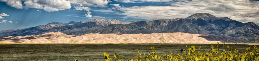 Pinon Flats CampgroundCampingPhoto: Recreation.gov (RIDB) / public domain9 mi
Source: Roamze catalog (indexable pages within 10 miles, PostGIS distance)
- S. ZapataHiking · ~2 min drivePhoto: Fredlyfish4, CC BY-SA 4.0 (via Wikimedia Commons)
 Interpretive Loop TrailHiking · ~14 min drivePhoto: joannapoe, CC BY-SA 2.0 (via Flickr)
- Medano CreekHiking · ~15 min drive
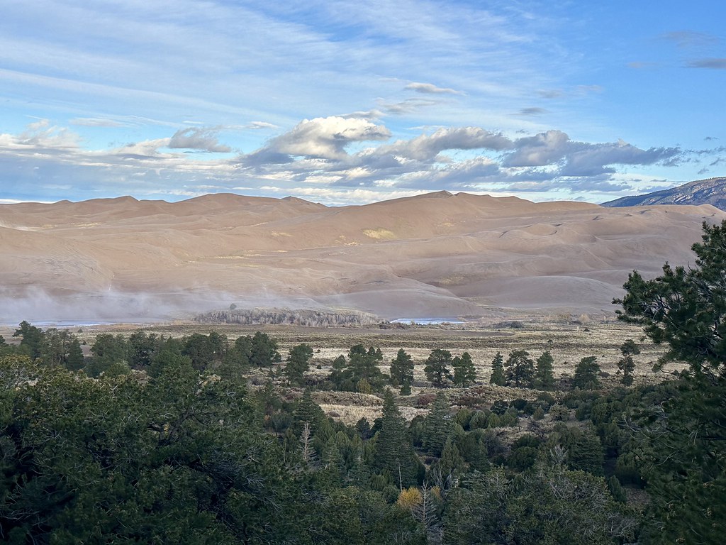 Sand Ramp TrailHiking · ~17 min drivePhoto: Navin75, CC BY-SA 2.0 (via Flickr)
- ZapataHiking · ~8 min drive
- N. Fork ZapataHiking · ~3 min drivePhoto: Fredlyfish4, CC BY-SA 4.0 (via Wikimedia Commons)
- Wellington Ditch TrailHiking · ~14 min drivePhoto: joannapoe, CC BY-SA 2.0 (via Flickr)
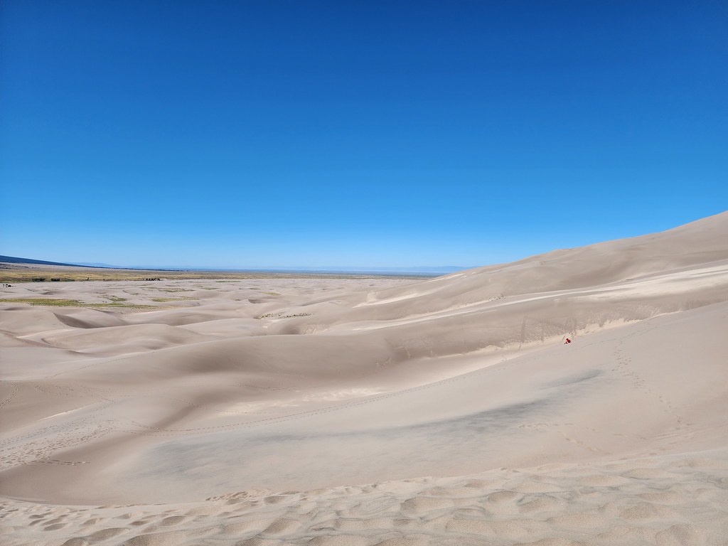 The DunefieldHiking · ~15 min drivePhoto: quinn.anya, CC BY-SA 2.0 (via Flickr)
- Mount LindseyHiking · ~8 min drive
- StrawberryHiking · ~14 min drive
Also worth it near here
- Zapata Falls TrailMountain biking · Next door
- Zapata Falls CampgroundCamping · Next doorPhoto: Fredlyfish4, CC BY-SA 4.0 (via Wikimedia Commons)
 Zapata FallsWaterfall · Next doorPhoto: XenonofArcticus (talk), CC BY-SA 3.0 (via Wikimedia Commons)
 Blanca PeakSummit · ~9 min drivePhoto: No machine-readable author provided. Meniscus~commonswiki assumed (based on copyright claims)., CC BY-SA 3.0 (via Wikimedia Commons)
Route details
- Distance
- 9.0 mi round trip
- Climbing
- About 6,125 ft
- Starts at
- Zapata Falls Trailhead
- Summit
- 13,847 ft
- Difficulty
- Expert
Questions about this route
How long is the California Peak on California Peak?
About 9.0 mi round trip from Zapata Falls Trailhead.
How much elevation gain is on the California Peak?
About 6,125 ft of climbing round trip.
How hard is the California Peak?
It is rated expert.
Where does the California Peak start?
Zapata Falls Trailhead.
© openrouteservice.org by HeiGIT | Map data © OpenStreetMap contributors
