Mountain Bike Trail near South Fork West Indian Creek
- 1.0 mi
- distance
- 152 ft
- climb
- Intermediate
- difficulty
Is Mountain Bike Trail near South Fork West Indian Creek open right now?
Closure in the area
There's a closure order in San Carlos Ranger District. It doesn't name Mountain Bike Trail near South Fork West Indian Creek, so check the source for the area it covers.
East Bear Gulch NFST 1333 seasonal closure
Agency closure covering San Carlos Ranger District · Order 02-12-03-26-14 · USFS · San Carlos Ranger District
Reduced Aspen Acres Fire closure order
Agency alert covering San Carlos Ranger District · Order 02-12-03-26-43 · USFS · San Carlos Ranger District
FSR 286, Radical Hill, is closed due to washouts and unsafe conditions
Agency alert covering Pike and San Isabel National Forests · USFS · Pike and San Isabel National Forests
Interlaken Hotel Tree Hazards
Agency alert covering Pike and San Isabel National Forests · USFS · Pike and San Isabel National Forests
Sharpe Fire Update
Agency alert covering Pike and San Isabel National Forests · USFS · Pike and San Isabel National Forests
As of · Source: USFS · San Carlos Ranger District. Agencies don't list every closure — check before you go.
The mountain bike trail near South Fork West Indian Creek is a short ride of about a mile in the San Carlos Ranger District of the Pike and San Isabel National Forests in Colorado. It rises from 9,943 feet to 10,110 feet, with a total elevation gain of 152 feet over the course of the ride. The climb isn't steep, but the steepest section comes early on, at about 0.07 miles into the trail, where the grade reaches 14 percent. The ride also loses about 250 feet, so it's a little downhill before the end. For more riding, the Indian Creek Trail is about 0.9 miles away, and the Bonnett Creek hike is about 0.6 miles off. Campers can head to Bear Lake Campground, roughly 4.9 miles away, or Blue Lake Campground, about 5.7 miles away.
- BONNETT CREEKHiking0.6 mi
- indian creek trailMountain biking0.9 mi
- Dodgeton Creek TrailHiking1.6 mi
- Dodgeton TrailHiking2.4 mi
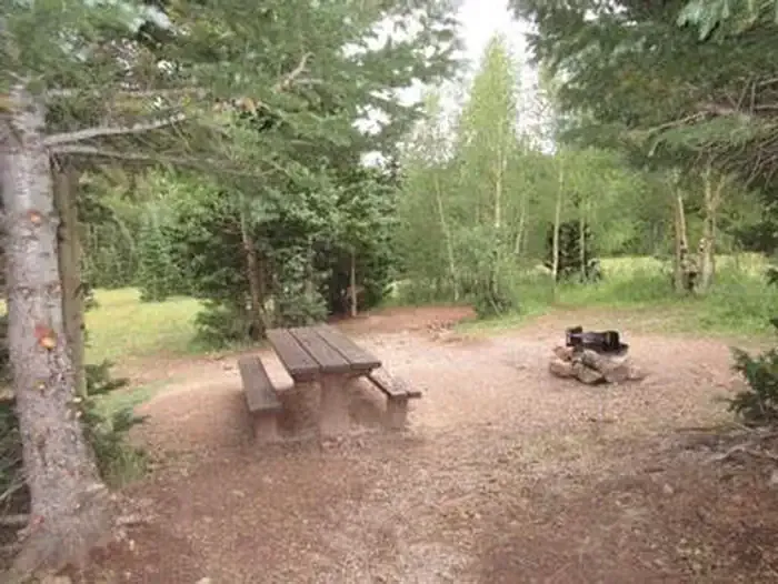 Bear Lake Campground (co)CampingPhoto: Recreation.gov (RIDB) / public domain4.9 mi
- Bear Lake CampgroundCamping4.9 mi
- Blue Lake CampgroundCamping5.7 mi
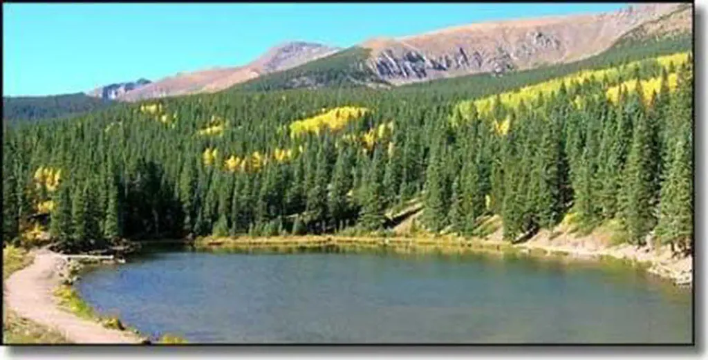 Blue Lake Campground - San Isabel NF (CO)CampingPhoto: Recreation.gov (RIDB) / public domain5.7 mi
Source: Roamze catalog (indexable pages within 10 miles, PostGIS distance)
 MaceyMountain biking · ~1h 23m drivePhoto: Fredlyfish4, CC BY-SA 4.0 (via Wikimedia Commons)
- Horn Creek SpurMountain biking · ~1h 24m drivePhoto: Fredlyfish4, CC BY-SA 4.0 (via Wikimedia Commons)
 South CrestoneMountain biking · ~1h 26m drivePhoto: Fredlyfish4, CC BY-SA 4.0 (via Wikimedia Commons)
 Macey SpurMountain biking · ~1h 22m drivePhoto: Fredlyfish4, CC BY-SA 3.0 (via Wikimedia Commons)
- indian creek trailMountain biking · ~2 min drive
- indian creek trailMountain biking · ~7 min drive
- S. ZapataMountain biking · ~43 min drive
- Zapata Falls TrailMountain biking · ~47 min drive
- west cisneroMountain biking · ~1h 4m drive
- N. Fork ZapataMountain biking · ~44 min drive

Map and trail data © OpenStreetMap contributors
