Difficult Group Campground
Campground
Campground · 5.5 mi from the trail
Caution at last check
Agency alerts are in effect for this area; weather is good · USFS, OpenWeather · checked 18 h ago
Alert in the area
The Forest Service lists 6 alerts for White River National Forest.
FSR 286, Radical Hill, is closed due to washouts and unsafe conditions
Agency alert covering White River National Forest · USFS · White River National Forest
Limited parking at Snowmass Creek Trailhead
Agency alert covering White River National Forest · USFS · White River National Forest
Grizzly Creek Trail Closure
Agency alert covering White River National Forest · Order 2026-02 · USFS · White River National Forest
Ruedi Marina Day Use area Dump Station is CLOSED
Agency alert covering White River National Forest · USFS · White River National Forest
Asbestos safety closure - Camp Hale
Agency alert covering White River National Forest · USFS · White River National Forest
As of · Source: USFS · White River National Forest. Agencies don't list every closure — check before you go.
Hunter Creek is an out-and-back hike in Colorado's Hunter-Fryingpan Wilderness, on the Aspen Ranger District of the White River National Forest. The Forest Service manages the land, and the trail runs for about 8.8 miles with a total elevation gain of 707 feet. The route starts at a low point of about 10,000 feet and climbs to a high of about 10,434 feet, making it a hard hike that suits hikers with a strong pace and a plan for the full day. The trail is a natural-surface path, and horses are allowed. Bikes are not. The trail is open year-round, so plan for conditions that change with the season. Summer is the most comfortable time to go. A nearby weather station records typical July averages of about 73°F for the high and 39°F for the low, and it sits roughly 700 feet below the trail. Temperatures on the route run cooler. Winter is cold, with typical January highs around 31°F and lows near 3°F. Slab Park lies about half a mile away. The Bald Knob mountain biking area is about 1.4 miles off. Farther out, the Roaring Fork River offers canoeing, and Difficult Group Campground is about 5.5 miles away.
Difficult Group Campground
Campground
High Mountain Pies
Restaurant
 If it rainsLongled, CC BY-SA 3.0 · Wikimedia Commons
Historic frontier synagogue building
Places © OpenStreetMap contributors · Photos: Longled, CC BY-SA 3.0 (commons)
More in LeadvilleBest months: June–August. Best months have typical highs of 55–85 °F, lows of 30 °F or warmer (32 °F where the station doesn't record snow), at most one snowy day and no more than 12 wet days.
Jan
31° / 3°
8 wet
Feb
33° / 3°
8 wet
Mar
39° / 9°
8 wet
Apr
44° / 18°
8 wet
May
55° / 27°
9 wet
Jun
68° / 34°
9 wet
Jul
73° / 39°
12 wet
Aug
70° / 38°
12 wet
Sep
62° / 31°
8 wet
Oct
51° / 23°
6 wet
Nov
39° / 14°
7 wet
Dec
31° / 6°
7 wet
Typical high / low (°F) and days with rain or snow, 1991–2020. Measured at Sugarloaf Rsvr, CO, 19.4 mi away at 9,738 ft. The station sits about 700 ft lower than this place, so expect it a little cooler here. This station doesn't record snowfall. Source: NOAA NCEI U.S. Climate Normals 1991–2020.
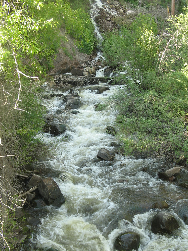 Photo: tommypjr, CC BY 2.0 (via Flickr)
Hunter Creek Overlook
~4 min drive
1.54-mile out-and-back trail in Colorado with 248 ft gain and 9,674 ft max elevation.
 Photo: tommypjr, CC BY 2.0 (via Flickr)
Hummingbird trail
~5 min drive
4.36-mile out-and-back hike in Colorado with 1,918 ft elevation gain and loss.
HIKE
Woody Creek
~4 min drive
18.5-mile out-and-back trail in Colorado with 3,195 ft gain and 11,649 ft max elevation.
HIKE
Warren Lakes Trail
~4 min drive
9.30-mile out-and-back hike in Colorado with 1,502 ft gain.
 Photo: Lorie Shaull, CC BY 2.0 (via Flickr)
Smuggler Loop
~6 min drive
0.7-mile out-and-back trail in Colorado with 256 ft elevation gain.
Photo: tommypjr, CC BY 2.0 (via Flickr)Sunnyside Plunge
~5 min drive
3.21-mile out-and-back trail in Colorado's White River National Forest with 1,182 ft gain.
HIKE
Midway
~3 min drive
16.07-mile out-and-back trail in Colorado with 2,077 ft elevation gain.
Photo: tommypjr, CC BY 2.0 (via Flickr)Secret Jedi Trail
~7 min drive
1.62-mile out-and-back trail in Colorado with 235 ft elevation gain.
Photo: tommypjr, CC BY 2.0 (via Flickr)Upper Hunter Valley
~5 min drive
3.86-mile out-and-back trail in Colorado's Upper Hunter Valley.
HIKE
Aspen-Norrie
~8 min drive
12.47-mile out-and-back trail in Colorado's White River National Forest with 1,098 ft gain.
Also worth it near here
SEE
McNamara Hut
~2 min drive
SEE
Warren Lakes
~5 min drive
 Photo: RCHop, CC BY 3.0 (via Wikimedia Commons)
Lazy Man Short Cut
~6 min drive
 Photo: This Photo was taken by Wolfgang Moroder.
Feel free to use my photos, but please mention me as the author and send me a message.
This image is not in the public domain. Please respect the copyright protection. It may only be used according to the rules mentioned here. This specifically excludes use in social media, if applicable terms of the licenses listed here not appropriate.
Please do not upload an updated image here without consultation with the Author. The author would like to make corrections only at his own source. This ensures that the changes are preserved.Please if you think that any changes should be required, please inform the author.Otherwise you can upload a new image with a new name. Please use one of the templates derivative or extract., CC BY-SA 3.0 (via Wikimedia Commons)
East Of Aspen Trail
~8 min drive
