Difficult Group Campground
Campground
Campground · 6.0 mi from the trail
Alert in the area
The Forest Service lists 6 alerts for White River National Forest.
FSR 286, Radical Hill, is closed due to washouts and unsafe conditions
Agency alert covering White River National Forest · USFS · White River National Forest
Limited parking at Snowmass Creek Trailhead
Agency alert covering White River National Forest · USFS · White River National Forest
Grizzly Creek Trail Closure
Agency alert covering White River National Forest · Order 2026-02 · USFS · White River National Forest
Ruedi Marina Day Use area Dump Station is CLOSED
Agency alert covering White River National Forest · USFS · White River National Forest
Asbestos safety closure - Camp Hale
Agency alert covering White River National Forest · USFS · White River National Forest
As of · Source: USFS · White River National Forest. Agencies don't list every closure — check before you go.
Slab Park is an easy out-and-back hike in Colorado's Hunter-Fryingpan Wilderness, within the Aspen Ranger District of the White River National Forest. It is managed by the Forest Service and sits inside wilderness boundaries, which sets it apart from the surrounding national forest land. The route is about 1.1 miles long and gains roughly 200 feet of elevation, from a low point of about 10,350 feet to a high of about 10,550 feet. The trail surface is natural, and the route is open year-round. The Forest Service notes that horses are allowed, and bikes are not. That makes the hike a good fit for riding in or on foot, and the trail is short enough to fit into a longer day on horseback. Summer is the most comfortable time to go. Typical averages from a nearby weather station run to highs around 73°F in July and lows near 39°F, while winter highs stay around 31°F. That station sits several hundred feet below the trail, so temperatures on the route run a little cooler. Nearby, Hunter Creek is about 0.6 miles away and Midway about 1.7 miles. For an overnight, Difficult Group Campground is about 6 miles off, and Weller Campground is about 6.7 miles away.
Difficult Group Campground
Campground
La Mina Tacos Y Mariscos
Restaurant
 If it rainsLongled, CC BY-SA 3.0 · Wikimedia Commons
Historic frontier synagogue building
Places © OpenStreetMap contributors · Photos: Longled, CC BY-SA 3.0 (commons)
More in LeadvilleSource: Roamze catalog (indexable pages within 10 miles, PostGIS distance)
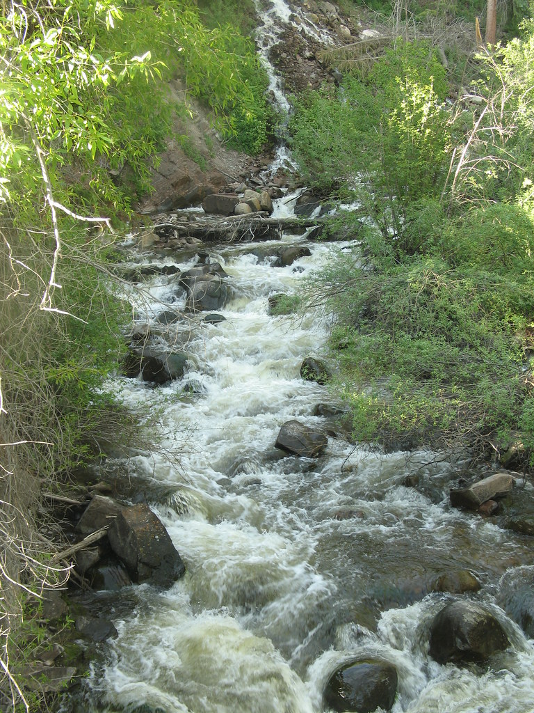 Hunter Creek OverlookHiking · ~5 min drivePhoto: tommypjr, CC BY 2.0 (via Flickr)
 Hummingbird trailHiking · ~5 min drivePhoto: tommypjr, CC BY 2.0 (via Flickr)
 Smuggler LoopHiking · ~7 min drivePhoto: Lorie Shaull, CC BY 2.0 (via Flickr)Sunnyside PlungeHiking · ~6 min drivePhoto: tommypjr, CC BY 2.0 (via Flickr)Secret Jedi TrailHiking · ~7 min drivePhoto: tommypjr, CC BY 2.0 (via Flickr)Upper Hunter ValleyHiking · ~6 min drivePhoto: tommypjr, CC BY 2.0 (via Flickr)
Best months: June–August. Best months have typical highs of 55–85 °F, lows of 30 °F or warmer (32 °F where the station doesn't record snow), at most one snowy day and no more than 12 wet days.
Jan
31° / 3°
8 wet
Feb
33° / 3°
8 wet
Mar
39° / 9°
8 wet
Apr
44° / 18°
8 wet
May
55° / 27°
9 wet
Jun
68° / 34°
9 wet
Jul
73° / 39°
12 wet
Aug
70° / 38°
12 wet
Sep
62° / 31°
8 wet
Oct
51° / 23°
6 wet
Nov
39° / 14°
7 wet
Dec
31° / 6°
7 wet
Typical high / low (°F) and days with rain or snow, 1991–2020. Measured at Sugarloaf Rsvr, CO, 18.9 mi away at 9,738 ft. The station sits about 800 ft lower than this place, so expect it a little cooler here. This station doesn't record snowfall. Source: NOAA NCEI U.S. Climate Normals 1991–2020.

