Chapman Campground
Campground
Campground · 3.7 mi from the trail
Caution at last check
Agency alerts are in effect for this area; weather is good · USFS, OpenWeather · checked 13 h ago
Alert in the area
The Forest Service lists 6 alerts for White River National Forest.
FSR 286, Radical Hill, is closed due to washouts and unsafe conditions
Agency alert covering White River National Forest · USFS · White River National Forest
Limited parking at Snowmass Creek Trailhead
Agency alert covering White River National Forest · USFS · White River National Forest
Grizzly Creek Trail Closure
Agency alert covering White River National Forest · Order 2026-02 · USFS · White River National Forest
Ruedi Marina Day Use area Dump Station is CLOSED
Agency alert covering White River National Forest · USFS · White River National Forest
Asbestos safety closure - Camp Hale
Agency alert covering White River National Forest · USFS · White River National Forest
As of · Source: USFS · White River National Forest. Agencies don't list every closure — check before you go.
Aspen-Norrie is a 12.47-mile out-and-back trail in Colorado's White River National Forest with 1,098 feet of elevation gain. The route reaches a maximum elevation of 11,040 feet.
Chapman Campground
Campground
La Mina Tacos Y Mariscos
Restaurant
 If it rainsCraig Talbert, CC BY 3.0 · Wikimedia Commons
Places © OpenStreetMap contributors · Photos: Craig Talbert, CC BY 3.0 (commons)
More in LeadvilleBest months: June–August. Best months have typical highs of 55–85 °F, lows of 30 °F or warmer (32 °F where the station doesn't record snow), at most one snowy day and no more than 12 wet days.
Jan
31° / 3°
8 wet
Feb
33° / 3°
8 wet
Mar
39° / 9°
8 wet
Apr
44° / 18°
8 wet
May
55° / 27°
9 wet
Jun
68° / 34°
9 wet
Jul
73° / 39°
12 wet
Aug
70° / 38°
12 wet
Sep
62° / 31°
8 wet
Oct
51° / 23°
6 wet
Nov
39° / 14°
7 wet
Dec
31° / 6°
7 wet
Typical high / low (°F) and days with rain or snow, 1991–2020. Measured at Sugarloaf Rsvr, CO, 17.5 mi away at 9,738 ft. The station sits about 1,300 ft lower than this place, so expect it a little cooler here. This station doesn't record snowfall. Source: NOAA NCEI U.S. Climate Normals 1991–2020.
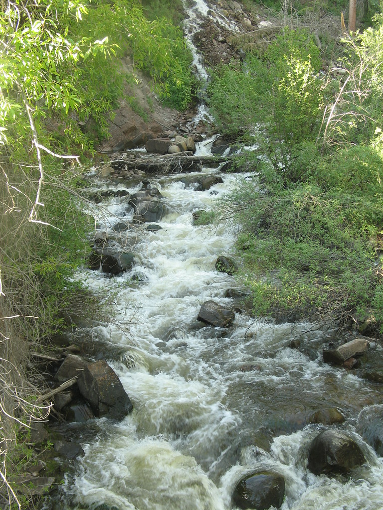 Photo: tommypjr, CC BY 2.0 (via Flickr)
Hunter Creek Overlook
~11 min drive
1.54-mile out-and-back trail in Colorado with 248 ft gain and 9,674 ft max elevation.
 Photo: tommypjr, CC BY 2.0 (via Flickr)
Hummingbird trail
~11 min drive
4.36-mile out-and-back hike in Colorado with 1,918 ft elevation gain and loss.
HIKE
Woody Creek
~7 min drive
18.5-mile out-and-back trail in Colorado with 3,195 ft gain and 11,649 ft max elevation.
HIKE
Warren Lakes Trail
~13 min drive
9.30-mile out-and-back hike in Colorado with 1,502 ft gain.
Photo: tommypjr, CC BY 2.0 (via Flickr)Secret Jedi Trail
~12 min drive
1.62-mile out-and-back trail in Colorado with 235 ft elevation gain.
Photo: tommypjr, CC BY 2.0 (via Flickr)Sunnyside Plunge
~11 min drive
3.21-mile out-and-back trail in Colorado's White River National Forest with 1,182 ft gain.
HIKE
Miller Creek
~9 min drive
9.9-mile out-and-back trail in Colorado with 4,394 ft elevation gain/loss.
 Photo: Lorie Shaull, CC BY 2.0 (via Flickr)
Smuggler Loop
~13 min drive
0.7-mile out-and-back trail in Colorado with 256 ft elevation gain.
Photo: tommypjr, CC BY 2.0 (via Flickr)Upper Hunter Valley
~11 min drive
3.86-mile out-and-back trail in Colorado's Upper Hunter Valley.
HIKE
Rocky Fork
~12 min drive
21.46-mile out-and-back trail in Colorado with 3,342 ft elevation gain.


