East Of Aspen Trail
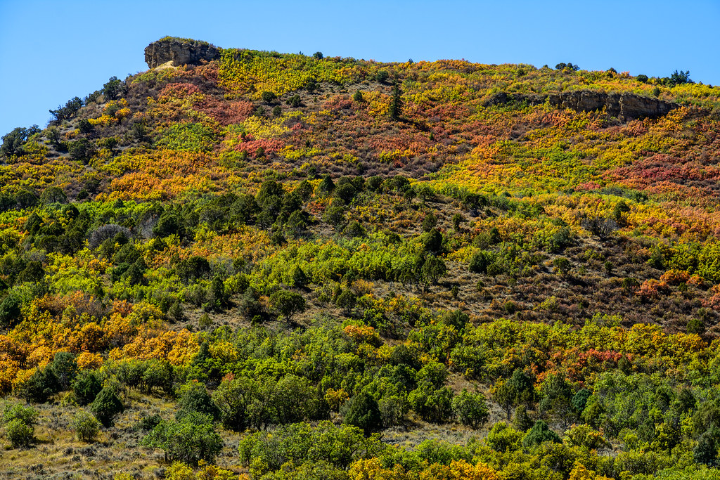
 Photo: This Photo was taken by Wolfgang Moroder.
Feel free to use my photos, but please mention me as the author and send me a message.
This image is not in the public domain. Please respect the copyright protection. It may only be used according to the rules mentioned here. This specifically excludes use in social media, if applicable terms of the licenses listed here not appropriate.
Please do not upload an updated image here without consultation with the Author. The author would like to make corrections only at his own source. This ensures that the changes are preserved.Please if you think that any changes should be required, please inform the author.Otherwise you can upload a new image with a new name. Please use one of the templates derivative or extract., CC BY-SA 3.0 (via Wikimedia Commons)
- 0.1 mi
- distance
- 8,015 ft
- high point
- Moderate
- difficulty
- May–Sep
- best months
Is East Of Aspen Trail open right now?
Road closed
CO 82: road closure is listed as closed by CDOT 511.
CO 82: road closure
Closed · ~0.0 km from East Of Aspen Trail · CDOT 511
FSR 286, Radical Hill, is closed due to washouts and unsafe conditions
Agency alert covering White River National Forest · USFS · White River National Forest
Limited parking at Snowmass Creek Trailhead
Agency alert covering White River National Forest · USFS · White River National Forest
Grizzly Creek Trail Closure
Agency alert covering White River National Forest · Order 2026-02 · USFS · White River National Forest
Ruedi Marina Day Use area Dump Station is CLOSED
Agency alert covering White River National Forest · USFS · White River National Forest
As of · Source: CDOT 511. Agencies don't list every closure — check before you go.
East Of Aspen Trail is a short, moderate cross-country ski route in the Aspen Ranger District of White River National Forest in Colorado, about 0.13 miles long. It sits at roughly 8,012 feet, with the high point at 8,015 feet and no elevation gain over the course of the run. The trail is a brief outing, and its flat profile makes it an easy addition to a longer day on the snow. Winter is the natural season for this route. Typical averages from a nearby weather station in Aspen show January highs around 32°F with lows near 10°F, while June brings highs around 71°F and the fewest wet days of the year. The station sits about 160 feet higher than the trail, so temperatures on the route run slightly warmer. The Benedict Trail and North Star Loop Tr. are both about 0.8 miles away, and Difficult Group Campground is about 2.8 miles off. Climbers can find the East Face about 3.6 miles away.
Local outfitters
- SUP Marble23 mi away
- Hanging Lake Adventure Co-op38 mi away
Not on Roamze yet. Their page has how to reach them.
 Benedict TrailCross-country skiingPhoto: jofwooster, CC BY-SA 3.0 (via Wikimedia Commons)0.8 mi
 North Star Loop Tr.Cross-country skiingPhoto: This Photo was taken by Wolfgang Moroder.
Feel free to use my photos, but please mention me as the author and send me a message.
This image is not in the public domain. Please respect the copyright protection. It may only be used according to the rules mentioned here. This specifically excludes use in social media, if applicable terms of the licenses listed here not appropriate.
Please do not upload an updated image here without consultation with the Author. The author would like to make corrections only at his own source. This ensures that the changes are preserved.Please if you think that any changes should be required, please inform the author.Otherwise you can upload a new image with a new name. Please use one of the templates derivative or extract., CC BY-SA 3.0 (via Wikimedia Commons)0.8 mi
- Difficult Group CampgroundCamping2.8 mi
 East FaceRock climbingPhoto: David Leo Veksler, CC BY-SA 2.0 (via Flickr)3.6 mi
- West Side - Lower ButtressRock climbingPhoto: David Leo Veksler, CC BY-SA 2.0 (via Flickr)3.6 mi
- Hunter CreekCanoeing4.4 mi
- Maroon CreekCanoeing4.5 mi
- Silver Bar CampgroundCamping5.5 mi
Source: Roamze catalog (indexable pages within 10 miles, PostGIS distance)
- Benedict TrailCross-country skiing · ~1 min drivePhoto: jofwooster, CC BY-SA 3.0 (via Wikimedia Commons)
 Marolt TrailCross-country skiing · ~4 min drivePhoto: Denverjeffrey, CC BY-SA 3.0 (via Wikimedia Commons)
 Maroon Gorge TrailCross-country skiing · ~5 min drivePhoto: Viktor Lapinskii, CC BY-SA 3.0 (via Wikimedia Commons)
 ButtermilkDownhill skiing · ~7 min drivePhoto: Werdna, CC BY-SA 4.0 (via Wikimedia Commons)
 Maroon Creek TrailSki touring · ~13 min drivePhoto: Tony Webster from Minneapolis, Minnesota, United States, CC BY 2.0 (via Wikimedia Commons)
 Jaffe ParkCross-country skiing · ~11 min drivePhoto: redlegsfan21 from Vandalia, OH, United States, CC BY-SA 2.0 (via Wikimedia Commons)
- Meadowood Dog Trail - PrivateCross-country skiing · ~4 min drivePhoto: Denverjeffrey, CC BY-SA 3.0 (via Wikimedia Commons)
- High School Trail;MaroltCross-country skiing · ~4 min drivePhoto: Denverjeffrey, CC BY-SA 3.0 (via Wikimedia Commons)
 Tom Blake Equestrian TrailCross-country skiing · ~11 min drivePhoto: Hunter Bryant hunterbryant, CC0 (via Wikimedia Commons)
- Aspen SnowmassDownhill skiing · ~14 min drive
Also worth it near here
Best time to visit East Of Aspen Trail
Best months: May–September. Best months have typical highs of 55–85 °F, lows of 30 °F or warmer (32 °F where the station doesn't record snow), at most one snowy day and no more than 12 wet days.
Jan
32° / 10°
13 wet
Feb
35° / 13°
12 wet
Mar
43° / 20°
12 wet
Apr
50° / 27°
12 wet
May
60° / 35°
11 wet
Jun
71° / 42°
8 wet
Jul
76° / 48°
11 wet
Aug
73° / 47°
12 wet
Sep
67° / 40°
10 wet
Oct
55° / 30°
9 wet
Nov
42° / 19°
10 wet
Dec
32° / 10°
12 wet
Typical high / low (°F) and days with rain or snow, 1991–2020. Measured at Aspen 1sw, CO, 2.2 mi away at 8,175 ft. This station doesn't record snowfall. Source: NOAA NCEI U.S. Climate Normals 1991–2020.


Map and trail data © OpenStreetMap contributors
