Difficult Group Campground
Campground
Campground · 7.2 mi from the trail
Alert in the area
The Forest Service lists 6 alerts for White River National Forest.
FSR 286, Radical Hill, is closed due to washouts and unsafe conditions
Agency alert covering White River National Forest · USFS · White River National Forest
Limited parking at Snowmass Creek Trailhead
Agency alert covering White River National Forest · USFS · White River National Forest
Grizzly Creek Trail Closure
Agency alert covering White River National Forest · Order 2026-02 · USFS · White River National Forest
Ruedi Marina Day Use area Dump Station is CLOSED
Agency alert covering White River National Forest · USFS · White River National Forest
Asbestos safety closure - Camp Hale
Agency alert covering White River National Forest · USFS · White River National Forest
As of · Source: USFS · White River National Forest. Agencies don't list every closure — check before you go.
Woody Creek is a hard hike in Colorado's White River National Forest, within the Aspen Ranger District. The trail is an out-and-back that climbs from about 8,700 feet to about 11,600 feet, with a total elevation gain of 3,195 feet over 18.5 miles. The Forest Service manages the land, and the trail is open year-round. The route is natural-surface and allows horses, but not bikes. The trailhead parking is named Woody Creek, and the trip is best planned as a full day or more, with time to rest and take in the high-country setting. Nearby, the TinCup mountain biking area and the Johnson Creek hike both sit about 1.2 miles away. Climbers can head to East Face, about 5.3 miles off, and Difficult Group Campground offers camping about 7.2 miles away.
Difficult Group Campground
Campground
 If it rainsCraig Talbert, CC BY 3.0 · Wikimedia Commons
Places © OpenStreetMap contributors, Places © Overture Maps Foundation · Photos: Craig Talbert, CC BY 3.0 (commons)
More in Leadville East FaceRock climbingPhoto: David Leo Veksler, CC BY-SA 2.0 (via Flickr)5.3 miWest Side - Lower ButtressRock climbingPhoto: David Leo Veksler, CC BY-SA 2.0 (via Flickr)5.3 mi
Source: Roamze catalog (indexable pages within 10 miles, PostGIS distance)
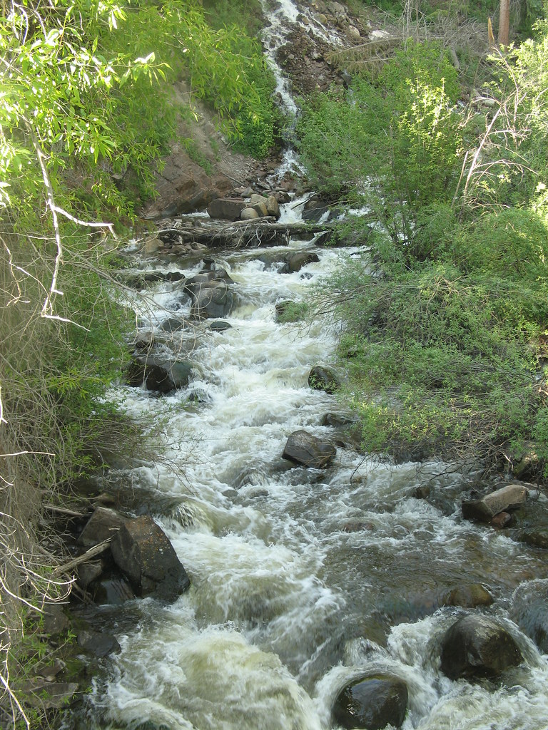 Hunter Creek OverlookHiking · ~4 min drivePhoto: tommypjr, CC BY 2.0 (via Flickr)
 Hummingbird trailHiking · ~4 min drivePhoto: tommypjr, CC BY 2.0 (via Flickr)Secret Jedi TrailHiking · ~5 min drivePhoto: tommypjr, CC BY 2.0 (via Flickr)Sunnyside PlungeHiking · ~5 min drivePhoto: tommypjr, CC BY 2.0 (via Flickr)
 Smuggler LoopHiking · ~7 min drivePhoto: Lorie Shaull, CC BY 2.0 (via Flickr)Upper Hunter ValleyHiking · ~5 min drivePhoto: tommypjr, CC BY 2.0 (via Flickr)

