Homestead
- 5.8 mi
- round trip
- 31 ft
- climb
- 7,788 ft
- high point
- Out and back
- route
Homestead is a moderate out-and-back hike in Colorado's Pike and San Isabel National Forests, within the South Platte Ranger District. The trail is managed by the Forest Service and runs about 5.8 miles, with a low point of 7,393 feet and a high of 7,788 feet. The climb is gentle, with an elevation gain of 31 feet one way. The route is natural-surfaced and allows horses, and it is not an accessible trail. It is open year-round, and the nearest town is Bailey, about 7 miles away. Summer is the most comfortable time to go. Typical averages from a nearby weather station in Bailey show July highs around 79°F with lows near 44°F, while winter highs stay in the upper 30s. Strawberry Jack is a hike just 0.1 mile away, and the Skipper mountain biking trail is about half a mile off. Climbers can head to Castle View Crags & Boulders, roughly 2 miles away, and Buffalo Campground is about 3 miles from the trail.
- Strawberry JackHiking0.1 mi
- SkipperMountain biking0.5 mi
- Castle View Crags & BouldersRock climbing2.1 mi
- Main Castle View CragRock climbing2.4 mi
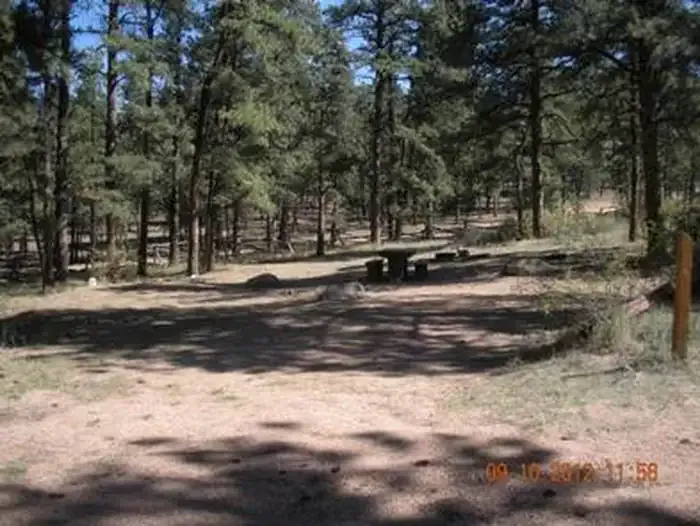 Buffalo CampgroundCampingPhoto: Recreation.gov (RIDB) / public domain3.2 mi
- Meadows Group CampgroundCamping3.2 mi
- West Resort CreekCanoeing5.8 mi
- Elk CreekCanoeing6.9 mi
Source: Roamze catalog (indexable pages within 10 miles, PostGIS distance)
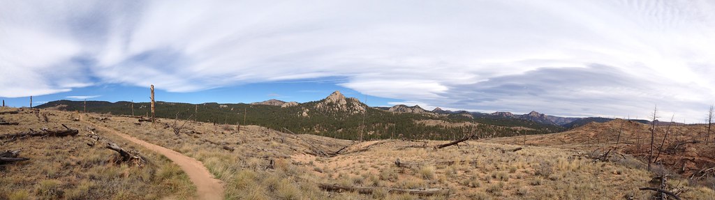 BaldyHiking · ~4 min drivePhoto: rb06, CC BY 2.0 (via Flickr)
- Morrison CreekHiking · ~5 min drivePhoto: rb06, CC BY 2.0 (via Flickr)
- Gashouse GulchHiking · ~4 min drive
- TramwayHiking · ~5 min drivePhoto: rb06, CC BY 2.0 (via Flickr)
 Cynical TrailHiking · ~9 min drivePhoto: lamblukas, CC BY 2.0 (via Flickr)
- Green MountainHiking · ~7 min drive
- Sunshine TrailHiking · ~9 min drivePhoto: lamblukas, CC BY 2.0 (via Flickr)
 Eagle's View TrailHiking · ~13 min drivePhoto: lamblukas, CC BY 2.0 (via Flickr)
- ShinglemillHiking · ~7 min drive
- Raven's Roost TrailHiking · ~14 min drivePhoto: lamblukas, CC BY 2.0 (via Flickr)
Map and trail data © OpenStreetMap contributors
