Gunsight Pass
- 8.3 mi
- round trip
- 1,316 ft
- climb
- 12,091 ft
- high point
- Out and back
- route
Caution at last check
Agency alerts are in effect for this area; weather is marginal · USFS, OpenWeather · checked 18 h ago
Is Gunsight Pass open right now?
Closure in the area
There's a closure order in Grand Mesa, Uncompahgre and Gunnison National Forests. It doesn't name Gunsight Pass, so check the source for the area it covers (2 listed).
Gold Mountain Wildfire Roads and Trails Closure Order v 4.0
Agency closure covering Grand Mesa, Uncompahgre and Gunnison National Forests · USFS · Grand Mesa, Uncompahgre and Gunnison National Forests
Ophir Pass Road Closure
Agency closure covering Grand Mesa, Uncompahgre and Gunnison National Forests · USFS · Grand Mesa, Uncompahgre and Gunnison National Forests
Potter Basin Road Closure Order
Agency alert covering Grand Mesa, Uncompahgre and Gunnison National Forests · USFS · Grand Mesa, Uncompahgre and Gunnison National Forests
Beaver Park Road Closure Order
Agency alert covering Grand Mesa, Uncompahgre and Gunnison National Forests · USFS · Grand Mesa, Uncompahgre and Gunnison National Forests
TERMINATION OF ORDER - FIRE RESTRICTIONS
Agency alert covering Grand Mesa, Uncompahgre and Gunnison National Forests · USFS · Grand Mesa, Uncompahgre and Gunnison National Forests
As of · Source: USFS · Grand Mesa, Uncompahgre and Gunnison National Forests. Agencies don't list every closure — check before you go.
Gunsight Pass is a hard out-and-back hike in Colorado's Gunnison Ranger District, part of the Grand Mesa, Uncompahgre and Gunnison National Forests. The trail runs about 8.3 miles, with a one-way elevation gain of 1,316 feet, from a low point of 9,579 feet to a high of 12,091 feet. The Forest Service manages the land, and the route is open year-round. The trail is natural-surfaced and allows both horses and bikes, so it works for riders and pack animals as well as hikers. Plan for a long day, with the climb spread across the full length of the route. Copley Lake and Irwin Lake are both within about 1.5 miles, and Splains Gulch Camping Area and Oh Be Joyful Campground sit roughly 2 to 2.5 miles away.
Go with a guide
- Mineral Belt Trail Guided WalkNexPM AI · $25 per person · 48 mi away
- Maroon Bells Guide and Outfitters22 mi away
- Copley LakeHiking1.4 mi
- Irwin LakeHiking1.5 mi
- Splains Gulch Camping AreaCamping2.2 mi
- Oh Be Joyful CampgroundCamping2.5 mi
 Slate RiverCanoeingPhoto: Jeffrey Beall, CC BY 3.0 (via Wikimedia Commons)3.4 mi
- Skyland BouldersRock climbing5.3 mi
- The Hone StoneRock climbing5.6 mi
- Ruby Anthracite CreekCanoeing5.9 mi
Source: Roamze catalog (indexable pages within 10 miles, PostGIS distance)
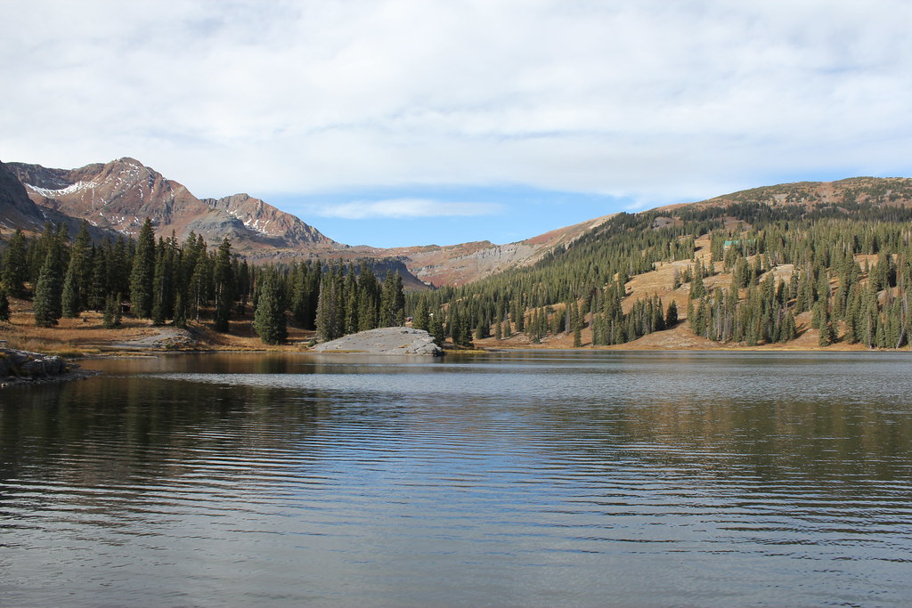 Irwin Lake TrailHiking · ~3 min drivePhoto: Jeffrey Beall, CC BY-SA 2.0 (via Flickr)
 Oh-Be-JoyfulHiking · ~3 min drivePhoto: supercraigtalbert, CC BY 2.0 (via Flickr)
- ScarpHiking · ~4 min drivePhoto: Jeffrey Beall, CC BY-SA 2.0 (via Flickr)
 West Elk PeakHiking · ~10 min drivePhoto: John Sowell, CC BY-SA 4.0 (via Wikimedia Commons)
 Upper Peeler LakesHiking · ~3 min drivePhoto: Kyle Watson Photography, CC BY-SA 2.0 (via Flickr)
 Snodgrass Trail #590Hiking · ~9 min drivePhoto: Alissa Walker, CC BY-SA 2.0 (via Wikimedia Commons)
- Ridge 70Hiking · ~4 min drivePhoto: Jeffrey Beall, CC BY-SA 2.0 (via Flickr)
- Carbon Trail 436Hiking · ~9 min drive
- Coal Train TrailHiking · ~4 min drivePhoto: supercraigtalbert, CC BY 2.0 (via Flickr)
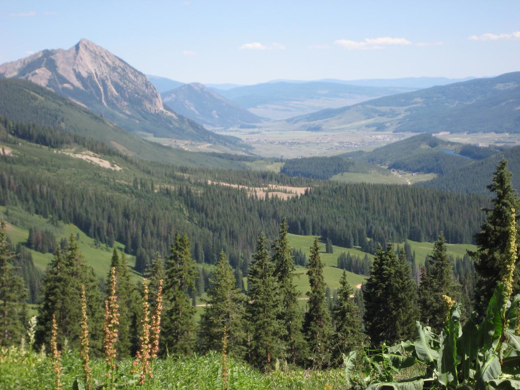 Washington GulchHiking · ~10 min drivePhoto: GSEC, CC BY 2.0 (via Flickr)
Also worth it near here
 Gunsight PassMountain biking · ~1 min drivePhoto: Sheila Sund from Salem, United States, CC BY 2.0 (via Wikimedia Commons)
 Gunsight Pass Road RoadCross-country skiing · ~4 min drivePhoto: Sheila Sund from Salem, United States, CC BY 2.0 (via Wikimedia Commons)
- Lake Irwin Fishing SiteLake fishing · ~4 min drive
- Lake IrwinCamping · ~5 min drive
