Keystone Area
Campground
Campground · 5.7 mi from the trail
Alert in the area
The Forest Service lists 3 alerts for Arapaho and Roosevelt National Forests.
Fire Restrictions
Agency alert covering Arapaho and Roosevelt National Forests · USFS · Arapaho and Roosevelt National Forests
Slater Lake Area Closure
Agency alert covering Clear Creek Ranger District · Order 02-10-07-26-03 · USFS · Clear Creek Ranger District
Area Closure Surrounding the Devils Nose Target Range
Agency alert covering Clear Creek Ranger District · Order 02-10-07-26-01 · USFS · Clear Creek Ranger District
As of · Source: USFS · Arapaho and Roosevelt National Forests. Agencies don't list every closure — check before you go.
Golden Bear Peak is a hard out-and-back hike in Colorado's Clear Creek Ranger District, part of the Arapaho and Roosevelt National Forests. The route is about 6 miles long, with a total elevation gain of 2,628 feet, and the summit sits at 13,009 feet. The nearest town is Bakerville, about 5 miles away. The climb is a full day's work. The route gains about 2,600 feet over the course of the hike, and the high point is reached at the summit. Plan on about 3.5 hours for the trip. The peak sits close to several other destinations. West Ridge Trail and Loveland Pass are both about 1.6 miles away, and the Loveland Pass Area climbing area is about 3.5 miles off. For an overnight stay, Lowry Campground is about 8.6 miles away.
Keystone Area
Campground
 If it rainsUser:Magicpiano, CC BY-SA 4.0 · Wikimedia Commons
Historic house-museum in Georgetown, Colorado, United States
Places © OpenStreetMap contributors, Places © Overture Maps Foundation · Photos: User:Magicpiano, CC BY-SA 4.0 (commons)
More in Idaho Springs West Ridge TrailHikingPhoto: glennharper, CC BY-SA 2.0 (via Flickr)1.6 mi
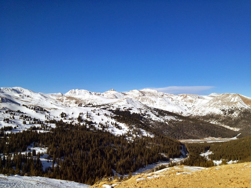 Loveland PassHikingPhoto: PACarlson, CC BY 2.0 (via Flickr)1.6 mi
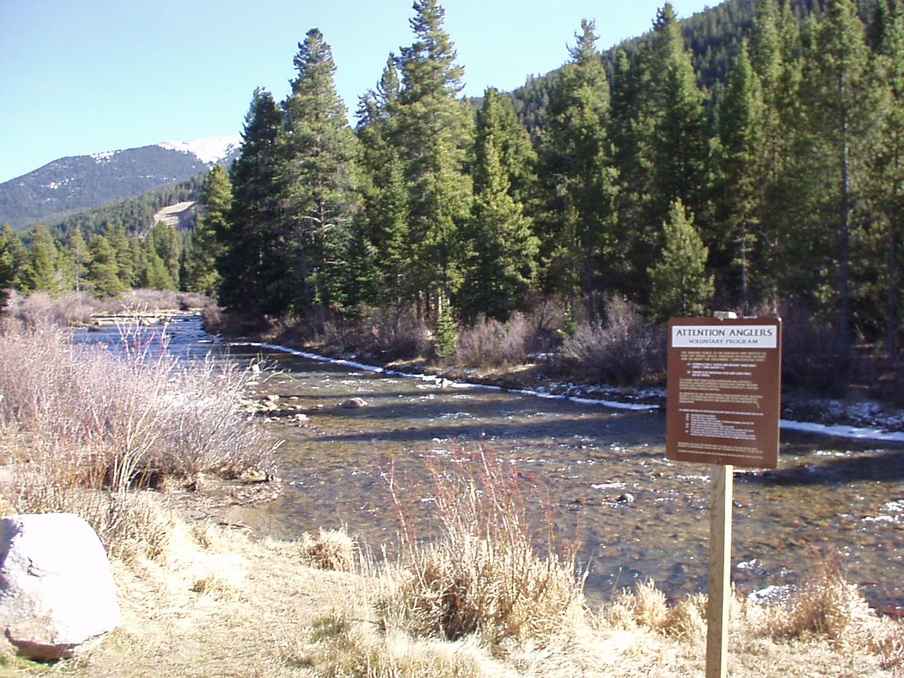 Snake RiverCanoeingPhoto: K.warterbeck, CC BY-SA 3.0 (via Wikimedia Commons)5.9 mi
Source: Roamze catalog (indexable pages within 10 miles, PostGIS distance)
West Ridge TrailHiking · ~3 min drivePhoto: glennharper, CC BY-SA 2.0 (via Flickr)Loveland PassHiking · ~3 min drivePhoto: PACarlson, CC BY 2.0 (via Flickr)Grizzly PeakHiking · ~3 min drivePhoto: glennharper, CC BY-SA 2.0 (via Flickr) Pass LakeHiking · ~4 min drivePhoto: Kimaz2412, CC BY 2.0 (via Flickr)CupidHiking · ~3 min drivePhoto: glennharper, CC BY-SA 2.0 (via Flickr)
 Mount ParnassusHiking · ~5 min drivePhoto: kalestews, CC BY 2.0 (via Flickr)
 Pah-QwunHiking · ~8 min drivePhoto: denverkid, CC BY 2.0 (via Flickr)Mount SniktauHiking · ~3 min drivePhoto: glennharper, CC BY-SA 2.0 (via Flickr)
© openrouteservice.org by HeiGIT | Map data © OpenStreetMap contributors

