Ellingwood Point
- 17.0 mi
- round trip
- 6,200 ft
- climb
- 14,049 ft
- high point
- Out and back
- route
Ellingwood Point is a 17-mile out-and-back hike on the Rio Grande National Forest in Colorado, managed by the Forest Service. The route starts on Lake Como Road and climbs to the summit of Ellingwood Point, which sits at 14,049 feet. The round-trip distance is 17 miles, and the total ascent is 6,200 feet, which makes this a demanding route for anyone heading to the top. The peak sits right next to two other high points. Blanca Peak and Little Bear Peak are both about 0.1 mile away, so the route can easily be combined with a visit to either of them. For an overnight base, Zapata Falls Campground is about 5.4 miles away, and the South Zapata Lake Trail is about 5.3 miles away for mountain bikers.
Conditions and forecast on Ellingwood Point
Daily highs and lows, wind and the chance of precipitation at the summit and route start for the next 7 days, from the Open-Meteo model.
- Blanca PeakHiking0.1 mi
- Little Bear PeakHiking0.1 mi
- S. ZapataMountain biking5.3 mi
- South Zapata Lake TrailMountain biking5.3 mi
 Zapata Falls CampgroundCampingPhoto: Fredlyfish4, CC BY-SA 4.0 (via Wikimedia Commons)5.4 mi
- N. Fork ZapataHikingPhoto: Fredlyfish4, CC BY-SA 4.0 (via Wikimedia Commons)5.4 mi
- Zapata Falls TrailMountain biking5.7 mi
 Base Camp Family CampgroundCampingPhoto: David Herrera from Albuquerque, NM, Bernalillo, CC BY 2.0 (via Wikimedia Commons)9.9 mi
Source: Roamze catalog (indexable pages within 10 miles, PostGIS distance)
- N. Fork ZapataHiking · ~9 min drivePhoto: Fredlyfish4, CC BY-SA 4.0 (via Wikimedia Commons)
 Twin PeaksHiking · ~10 min drivePhoto: Eric Johnson, CC BY-SA 3.0 (via Wikimedia Commons)
 Interpretive Loop TrailHiking · ~24 min drivePhoto: joannapoe, CC BY-SA 2.0 (via Flickr)
- Medano CreekHiking · ~24 min drive
- RaspberryHiking · ~13 min drive
- S. ZapataHiking · ~10 min drivePhoto: Fredlyfish4, CC BY-SA 4.0 (via Wikimedia Commons)
- California PeakHiking · ~10 min drivePhoto: Eric Johnson, CC BY-SA 3.0 (via Wikimedia Commons)
- Wellington Ditch TrailHiking · ~24 min drivePhoto: joannapoe, CC BY-SA 2.0 (via Flickr)
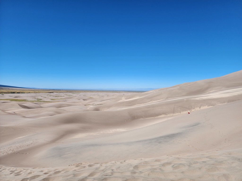 The DunefieldHiking · ~25 min drivePhoto: quinn.anya, CC BY-SA 2.0 (via Flickr)
- ZapataHiking · ~15 min drive
Also worth it near here
 Little Bear PeakSummit · ~8 min drivePhoto: Stargazer7121, CC BY-SA 3.0 (via Wikimedia Commons)
- Zapata Falls CampgroundCamping · ~9 min drivePhoto: Fredlyfish4, CC BY-SA 4.0 (via Wikimedia Commons)
 Zapata FallsWaterfall · ~10 min drivePhoto: XenonofArcticus (talk), CC BY-SA 3.0 (via Wikimedia Commons)
Route details
- Distance
- 17.0 mi round trip
- Climbing
- About 6,200 ft
- Starts at
- Lake Como Road Trailhead
- Summit
- 14,059 ft
- Difficulty
- Expert
Questions about this route
How long is the Ellingwood Point on Ellingwood Point?
About 17.0 mi round trip from Lake Como Road Trailhead.
How much elevation gain is on the Ellingwood Point?
About 6,200 ft of climbing round trip.
How hard is the Ellingwood Point?
It is rated expert.
Where does the Ellingwood Point start?
Lake Como Road Trailhead.
© openrouteservice.org by HeiGIT | Map data © OpenStreetMap contributors
