Wellington Ditch Trail
 Photo: joannapoe, CC BY-SA 2.0 (via Flickr)
- 0.9 mi
- round trip
- 365 ft
- climb
- 8,422 ft
- high point
- Out and back
- route
- May–Sep
- best months
Is Wellington Ditch Trail open right now?
Alert in the area
The National Park Service lists 2 alerts for Great Sand Dunes National Park.
Creek Crossings on Medano Pass Primitive Road Have Deep and Swift Water
Park alert covering Great Sand Dunes National Park · NPS · Great Sand Dunes National Park
Speed Limits are Much Lower Inside Park than Surrounding Highways
Park alert covering Great Sand Dunes National Park · NPS · Great Sand Dunes National Park
As of · Source: NPS · Great Sand Dunes National Park. Agencies don't list every closure — check before you go.
Wellington Ditch Trail is a short, easy out-and-back hike in Great Sand Dunes National Park in Colorado, managed by the National Park Service. The trail is about 0.9 miles long, and the round trip covers roughly 1.8 miles with a total elevation gain of about 365 feet. The route starts at an elevation of about 8,368 feet and reaches a high point of about 8,422 feet before returning to the starting point. Summer is the most comfortable time to go. Typical averages from a nearby weather station show July highs around 81°F with lows near 52°F, while winter brings highs in the low 30s and regular snow days from December through February. The trail makes an easy addition to a visit to the park's visitor center area. Dunes Access from Visitor Center Trail is about 0.7 miles away, and Medano Creek and Pinon Flats Campground are each about 0.8 miles off. The Dunes Overlook Trail lies about a mile away.
Local outfitters
- San Luis Valley Campground41 mi away
- Journey Quest47 mi away
Not on Roamze yet. Their page has how to reach them.
 Dunes Access from Visitor Center TrailHikingPhoto: quinn.anya, CC BY-SA 2.0 (via Flickr)0.7 mi
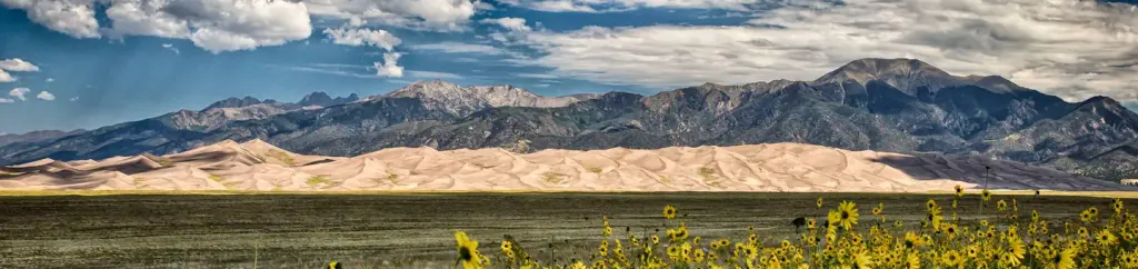 Pinon Flats CampgroundCampingPhoto: Recreation.gov (RIDB) / public domain0.8 mi
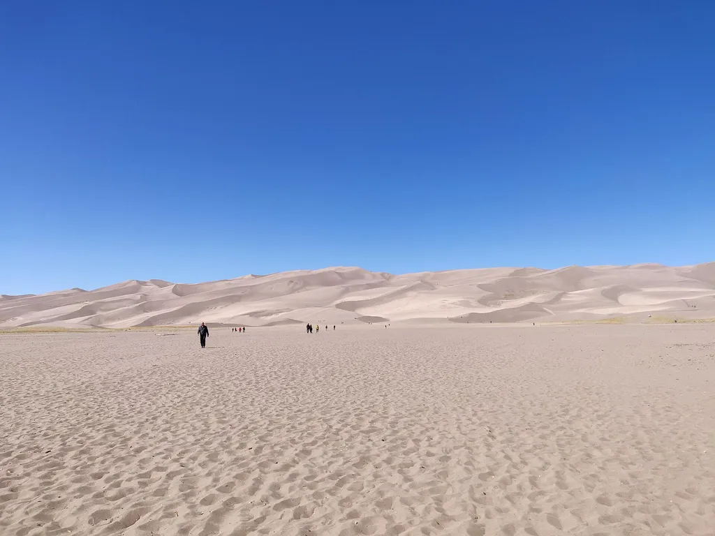 Medano CreekHikingPhoto: Mshuang2 — Wikimedia Commons (CC0)0.8 mi
- Pinyon Flats CampgroundCamping0.9 mi
 Dunes Overlook TrailHikingPhoto: Navin75, CC BY-SA 2.0 (via Flickr)1 mi
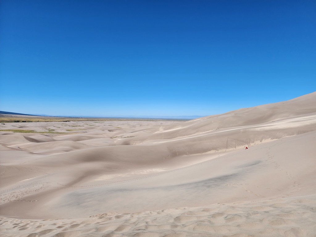 The DunefieldHikingPhoto: quinn.anya, CC BY-SA 2.0 (via Flickr)1.3 mi
- Great Sand Dunes OasisCamping3.6 mi
 Oasis CampgroundCampingPhoto: Thomson M, CC BY 3.0 (via Wikimedia Commons)3.6 mi
Source: Roamze catalog (indexable pages within 10 miles, PostGIS distance)
 Mosca Pass TrailHiking · Next doorPhoto: Peter K., CC BY-SA 3.0 (via Wikimedia Commons)
- Medano CreekHiking · ~1 min drive
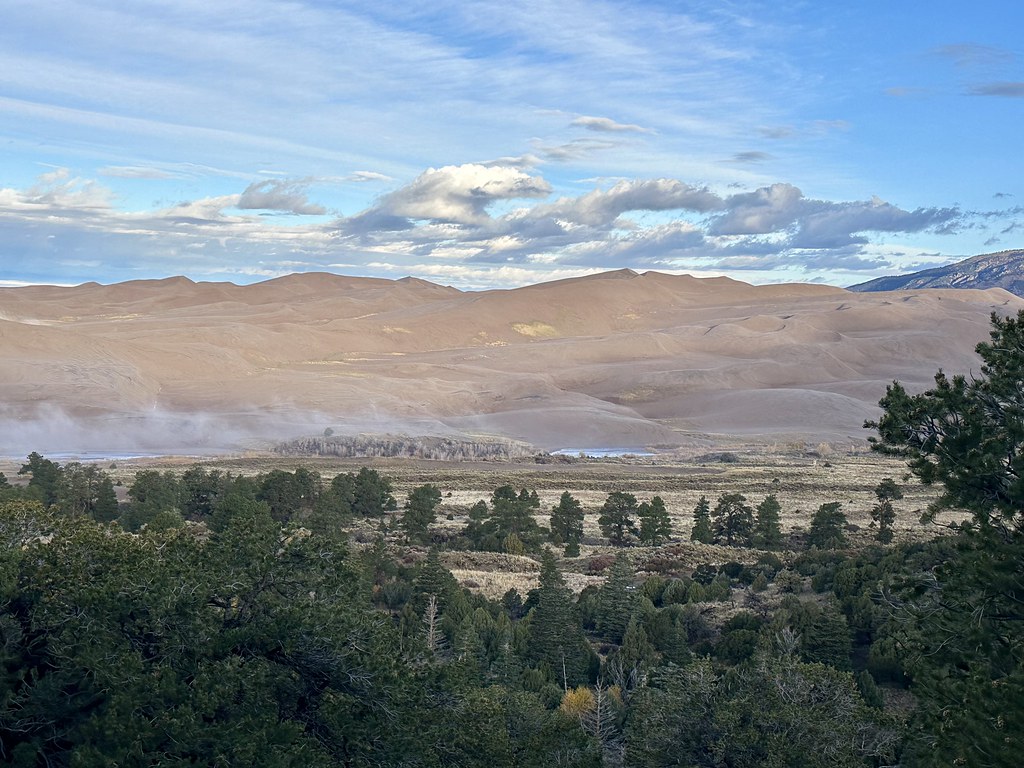 Sand Ramp TrailHiking · ~3 min drivePhoto: Navin75, CC BY-SA 2.0 (via Flickr)
 S. ZapataHiking · ~14 min drivePhoto: Fredlyfish4, CC BY-SA 4.0 (via Wikimedia Commons)
- Mosca Pass TrailHiking · ~5 min drive
- Mosca PassHiking · Next door
- The DunefieldHiking · ~2 min drivePhoto: quinn.anya, CC BY-SA 2.0 (via Flickr)
 California PeakHiking · ~14 min drivePhoto: Eric Johnson, CC BY-SA 3.0 (via Wikimedia Commons)
- N. Fork ZapataHiking · ~15 min drivePhoto: Fredlyfish4, CC BY-SA 4.0 (via Wikimedia Commons)
- ZapataHiking · ~11 min drive
Also worth it near here
Best time to visit Wellington Ditch Trail
Best months: May–September. Best months have typical highs of 55–85 °F, lows of 30 °F or warmer (32 °F where the station doesn't record snow), at most one snowy day and no more than 12 wet days.
Jan
33° / 11°
5 wet · 5 snow
Feb
39° / 16°
5 wet · 5 snow
Mar
48° / 24°
6 wet · 5 snow
Apr
56° / 29°
6 wet · 4 snow
May
66° / 38°
7 wet · 1 snow
Jun
77° / 48°
6 wet
Jul
81° / 52°
10 wet
Aug
78° / 50°
11 wet
Sep
72° / 44°
7 wet
Oct
60° / 33°
5 wet · 2 snow
Nov
45° / 22°
4 wet · 4 snow
Dec
34° / 12°
5 wet · 5 snow
Typical high / low (°F) and days with rain or snow, 1991–2020. Measured at Great Sand Dunes Np & Preserve, CO, 0.4 mi away at 8,183 ft. Source: NOAA NCEI U.S. Climate Normals 1991–2020.


Map and trail data © OpenStreetMap contributors
