

San Luis Valley Campground
Hiking business nearby (~41 mi away) — hasn't claimed their Roamze page yet

Colorado
Free — you'll pick up right here.
0.4 mi
Distance
24 ft
Gain
Weather is good
1 factor · 1 source
Observed 22 h ago
clear: Weather
Clouds, high 67°F / low 59°F, 20% precip — 91/100 for hike
OpenWeather22 h ago
Been out here in the last few days? One report keeps this current for everyone.
Why you'll love it
Interpretive Loop Trail
Suggested plan · check conditions before you go
Interpretive Loop Trail is a short 0.37-mile loop in Colorado with 24 feet of elevation gain. The trail is managed by the National Park Service.
Mosca Pass
~0 min drive
Just above the dunefield are forests of aspen, pine, fir, and spruce. The easiest hiking access to forest in the national park is in Mosca Pass, on the Montville Nature Trail and Mosca Pass Trail. On these trails, you are walking in the footsteps of Pleistocene mammoth…
Medano Creek
~1 min drive
Medano Creek is a popular seasonal stream enjoyed by all ages. On this page you'll learn what to expect month-by-month in an average year, and how the rare phenomon 'surge flow' works. You can also link to current and forecast creek conditions, and a video about the creek…
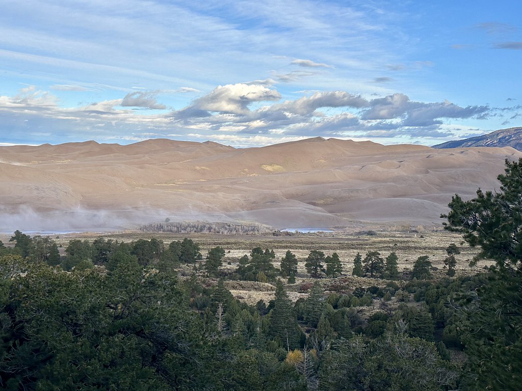 Photo: Navin75, CC BY-SA 2.0 (via Flickr)
Sand Ramp Trail
~3 min drive
19.48-mile out-and-back trail in Colorado with 2,994 ft elevation gain and loss.
 Photo: Fredlyfish4, CC BY-SA 4.0 (via Wikimedia Commons)
S. Zapata
~14 min drive
9.7 mi · Hard
Mosca Pass Trail
~5 min drive
5.78-mile out-and-back hike in Colorado with 1,716 ft elevation gain and loss.
 Photo: Peter K., CC BY-SA 3.0 (via Wikimedia Commons)
Mosca Pass Trail
~0 min drive
0.62-mile out-and-back trail in Colorado with 192 ft elevation gain.
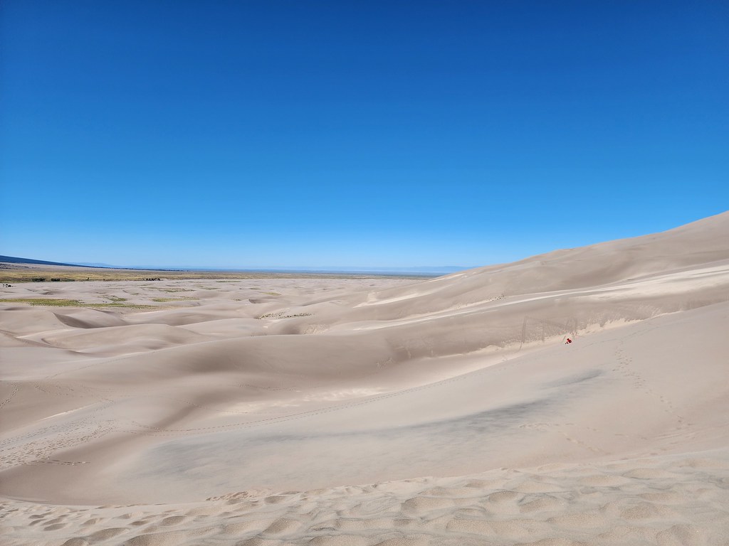 Photo: quinn.anya, CC BY-SA 2.0 (via Flickr)
The Dunefield
~2 min drive
The centerpiece of Great Sand Dunes National Park and Preserve is the 30-square-mile (78-square-km) dunefield, featuring the tallest dunes in North America. Because there are no trails, you can venture out anywhere you'd like to discover unusual insects, plants, wildlife…
 Photo: Eric Johnson, CC BY-SA 3.0 (via Wikimedia Commons)
Twin Peaks
~14 min drive
Route to the summit of Twin Peaks (13,556 ft) from Zapata Falls Trailhead.
Photo: Fredlyfish4, CC BY-SA 4.0 (via Wikimedia Commons)N. Fork Zapata
~14 min drive
1.92-mile out-and-back trail in Colorado's Rio Grande National Forest with 774 ft gain.
Raspberry
~11 min drive
7.1 mi · Moderate
Local operatorsoffering guided trips. You book directly with them — Roamze doesn’t take a cut.
San Luis Valley Campground
Hiking business nearby (~41 mi away) — hasn't claimed their Roamze page yet
Journey Quest
Hiking business nearby (~47 mi away) — hasn't claimed their Roamze page yet
