

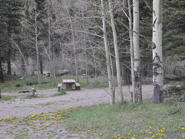
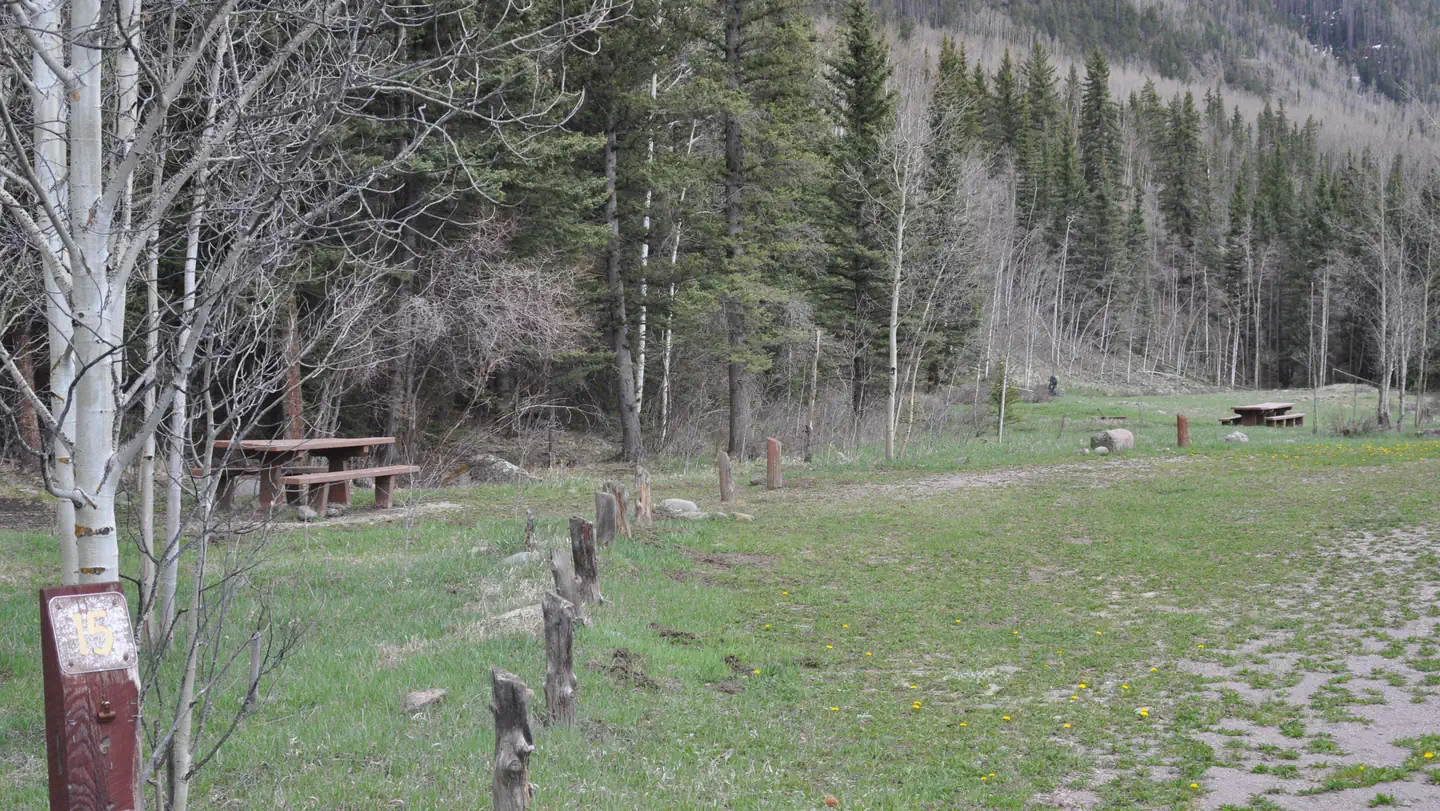
Pagosa Riverside Campground
Hiking business nearby (~20 mi away) — hasn't claimed their Roamze page yet
Free — you'll pick up right here.
Watch this trail
Sign up to watch it — saving subscribes you to gate, closure and report changes.
Colorado
8.3 mi
Distance
1,235 ft
Gain
We won't guess. Here is exactly what we do and don't know.
What we do know
Inside Rio Grande National Forest
3 managing-area boundaries mapped — agency alerts for them feed this page automatically.
Boundary data
What's missing
No access route mapped
We don't yet know which road reaches this trailhead, so we can't tell you if it's gated.
Nobody's filed a report here yet — be the first.
Why you'll love it
El Rito Azul
AI-suggested draft · review before you go
El Rito Azul is an 8.3-mile out-and-back trail located in Colorado near the Grand Valley area of Grand Mesa Uncompahgre and Gunnison National Forest. The trail is managed by the Grand Valley Ranger District. This out-and-back route offers hikers a moderate distance option for exploring the national forest landscape. The trail provides access to the natural features of the GMUG, a vast public lands area spanning multiple Colorado counties. The out-and-back format allows hikers to turn back at their preferred point or complete the full distance for a total roundtrip of 16.6 miles. The trail is suitable for day hikers looking for a moderate-distance outing in a nationally managed forest setting. Hikers should come prepared with adequate water and gear, as conditions can vary seasonally. For current trail conditions, closures, or specific facility information, contact the Grand Valley Ranger District directly. The GMUG manages numerous recreation opportunities across diverse terrain, making it a valuable resource for outdoor enthusiasts in western Colorado.

Conejos River
~3 min drive
3.7 mi · Moderate

Tobacco Lake
~8 min drive
11 mi · Hard

Flat
~24 min drive
3.3 mi · Easy

Crater Lake
~15 min drive
A 5.96-mile moderate out-and-back trail in Colorado leading to Crater Lake.

Canon Rincon
~8 min drive
17 mi · Hard
North Fork Cut-Off
~5 min drive
2.7 mi · Easy

No Name Lake
~18 min drive
5.5 mi · Moderate

South Fork
~15 min drive
22 mi · Hard
Quartz Lake
~14 min drive
2.0 mi · Easy

Ruybalid
~20 min drive
5.1 mi · Moderate
Local operatorsoffering guided trips. You book directly with them — Roamze doesn’t take a cut.
Pagosa Riverside Campground
Hiking business nearby (~20 mi away) — hasn't claimed their Roamze page yet
Pagosa Pines RV Park
Hiking business nearby (~23 mi away) — hasn't claimed their Roamze page yet
Wilderness Journeys Pagosa
Hiking business nearby (~25 mi away) — hasn't claimed their Roamze page yet