South Fork Conejos River
- 11.9 mi
- distance
- 11,715 ft
- high point
Is South Fork Conejos River open right now?
Closure in the area
There's a closure order in Rio Grande National Forest. It doesn't name South Fork Conejos River, so check the source for the area it covers.
Closures and dangerous conditions on roads, bridges, and trails from flooding
Agency closure covering Rio Grande National Forest · USFS · Rio Grande National Forest
As of · Source: USFS · Rio Grande National Forest. Agencies don't list every closure — check before you go.
South Fork Conejos River is a 12-mile paddling stretch near Antonito, Colorado. It is intermittent and may run dry in some seasons. USGS models an average flow of about 37 cfs and a gradient of about 237.2 feet per mile. Land along it is managed by the U.S. Forest Service.
Local outfitters
- Wilderness Journeys Pagosa29 mi away
- Blue Creek Lodge40 mi away
Not on Roamze yet. Their page has how to reach them.
- Canon VerdeHiking0.7 mi
- GLACIER LAKEHiking3 mi
- Timber LakeHiking3 mi
- Trail Creek Camping AreaCamping5 mi
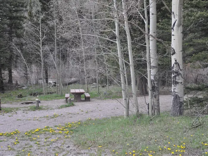 Lake Fork(rio Grande Natl ForeCampingPhoto: Recreation.gov (RIDB) / public domain6.8 mi
- Conejos CampgroundCamping6.8 mi
- Elk CreekCanoeing7.3 mi
 Navajo RiverCanoeingPhoto: Dicklyon, CC BY-SA 4.0 (via Wikimedia Commons)9 mi
Source: Roamze catalog (indexable pages within 10 miles, PostGIS distance)
- Navajo RiverCanoeing · ~15 min drivePhoto: Dicklyon, CC BY-SA 4.0 (via Wikimedia Commons)
- Platoro Reservoir Boating SiteBoat launch · ~15 min drive
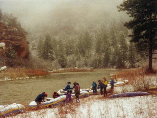 Rio ChamaCanoeing · ~28 min drivePhoto: Public domain (via Wikimedia Commons)
- Trujillo Meadows Boating SiteBoat launch · ~22 min drive
 Rio BlancoCanoeing · ~29 min drivePhoto: Dicklyon, CC BY-SA 4.0 (via Wikimedia Commons)
- Beaver Creek Reservoir Boating SiteBoat launch · ~44 min drive
 East Fork San Juan RiverCanoeing · ~32 min drivePhoto: Dicklyon, CC BY-SA 4.0 (via Wikimedia Commons)
- Shaw Lake Boating SiteBoat launch · ~46 min drive
 Alamosa RiverCanoeing · ~40 min drivePhoto: Jeffrey Beall, CC BY 4.0 (via Wikimedia Commons)
- Teal Boat RampBoat launch · ~1h 13m drive
Also worth it near here


