Opal Lake
- 2.5 mi
- round trip
- 627 ft
- climb
- 9,231 ft
- high point
- Out and back
- route
- May–Jul, Sep
- best months
Is Opal Lake open right now?
Closure in the area
There's a closure order in San Juan National Forest. It doesn't name Opal Lake, so check the source for the area it covers (3 listed).
Travel is not advised to the San Juan NF
Agency closure covering San Juan National Forest · USFS · San Juan National Forest
Closures and dangerous conditions on roads, bridges, and trails from flooding
Agency closure covering San Juan National Forest · USFS · San Juan National Forest
Multiple roads and trails damaged by flooding on SJNF
Agency closure covering San Juan National Forest · USFS · San Juan National Forest
Bear Activity High Across San Juan National Forest
Agency alert covering San Juan National Forest · USFS · San Juan National Forest
West Fork Road and Bridge Closure Order
Agency alert covering Pagosa Ranger District · Order 02-13-06-25-19 · USFS · Pagosa Ranger District
As of · Source: USFS · San Juan National Forest. Agencies don't list every closure — check before you go.
Opal Lake is an easy out-and-back hike in the Pagosa Ranger District of Colorado's San Juan National Forest, managed by the Forest Service. The trail is about 2.5 miles long, with a one-way elevation gain of 627 feet, and it rises from a low point of 8,734 feet to a high of 9,231 feet at the lake. The trail is natural-surfaced and allows horses, so riders can take it as well as hikers. The trailhead is called Opal Lake Trailhead, and the route is open from June 1 to September 30. Summer is the most comfortable time to go. Typical averages from a nearby weather station in Chama, New Mexico, show July highs around 80°F with lows near 46°F, while winter highs there stay in the upper 30s. That station sits about 1,400 feet lower than the lake, so temperatures at the lake run cooler. Nearby, Leche Creek and Fish Creek are both about 1.5 miles away, and Fish Lake is about 2.2 miles off. Blanco Basin Crags, a climbing area, is about 4.2 miles away.
Local outfitters
- Pagosa Riverside Campground14 mi away
- Pagosa Pines RV Park16 mi away
Not on Roamze yet. Their page has how to reach them.
- Leche CreekHiking1.5 mi
- Fish CreekHiking1.5 mi
- Fish LakeHiking2.2 mi
- Blanco Basin CragsRock climbing4.2 mi
 Rio BlancoCanoeingPhoto: Dicklyon, CC BY-SA 4.0 (via Wikimedia Commons)5.2 mi
- V-Mountain aka V RockRock climbing5.6 mi
 Navajo RiverCanoeingPhoto: Dicklyon, CC BY-SA 4.0 (via Wikimedia Commons)5.8 mi
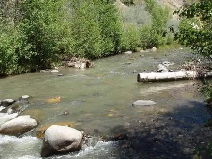 Blanco River Group CampgroundCampingPhoto: Recreation.gov (RIDB) / public domain8 mi
Source: Roamze catalog (indexable pages within 10 miles, PostGIS distance)
 BLUE CREEK WINTERHiking · ~13 min drivePhoto: Dicklyon, CC BY-SA 4.0 (via Wikimedia Commons)
- Leche CreekHiking · ~3 min drive
- Blue CreekHiking · ~8 min drive
- NAVAJO PEAKHiking · ~13 min drive
- Blue Creek Winter TrailHiking · ~13 min drive
- Fish CreekHiking · ~3 min drive
- Buckles LakeHiking · ~9 min drive
- Quartz LakeHiking · ~13 min drive
- Blanco RiverHiking · ~7 min drive
- Glacier Lake TrailHiking · ~17 min drive
Also worth it near here
- Rio BlancoCanoeing · ~9 min drivePhoto: Dicklyon, CC BY-SA 4.0 (via Wikimedia Commons)
- V-Mountain aka V RockRock climbing · ~10 min drive
- Hidden LakeLake fishing · ~12 min drive
- Blanco River Group CampgroundCamping · ~14 min drive
 Conejos PeakSummit · ~20 min drivePhoto: Jeffrey Beall, CC BY 4.0 (via Wikimedia Commons)
Best time to visit Opal Lake
Best months: May–July and September. Best months have typical highs of 55–85 °F, lows of 30 °F or warmer (32 °F where the station doesn't record snow), at most one snowy day and no more than 12 wet days.
Jan
37° / 7°
8 wet
Feb
41° / 11°
8 wet
Mar
48° / 18°
7 wet
Apr
56° / 24°
7 wet
May
65° / 32°
7 wet
Jun
77° / 38°
6 wet
Jul
80° / 46°
11 wet
Aug
78° / 46°
13 wet
Sep
72° / 38°
9 wet
Oct
61° / 27°
7 wet
Nov
48° / 17°
6 wet
Dec
38° / 8°
7 wet
Typical high / low (°F) and days with rain or snow, 1991–2020. Measured at Chama, NM, 21.9 mi away at 7,850 ft. The station sits about 1,400 ft lower than this place, so expect it a little cooler here. This station doesn't record snowfall. Source: NOAA NCEI U.S. Climate Normals 1991–2020.
