Sausage Link Trail
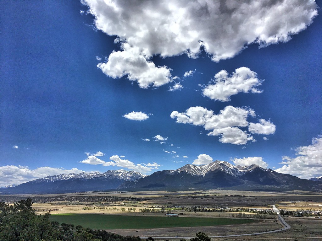 Photo: cogdogblog, Public Domain Dedication (CC0) (via Flickr)
- 1.6 mi
- round trip
- 428 ft
- climb
- 8,653 ft
- high point
- Out and back
- route
- May–Sep
- best months
Sausage Link Trail is a short, easy out-and-back hike of about 3.2 miles on Bureau of Land Management land in the Royal Gorge Field Office in Colorado. The trail starts at roughly 8,440 feet and climbs to about 8,653 feet, with the steepest stretch at the beginning. That makes it a gentle way to spend an hour or two on foot, and the round trip is less than 4 miles with a total elevation gain of about 430 feet. Summer is the most comfortable time to go. Typical averages from a nearby weather station in Buena Vista, which sits a few hundred feet lower, run to highs in the upper 70s in June and July, while September cools to around 74°F with lows near 40°F. Winter highs there stay in the low 40s. The Bacon Strip Trail, a mountain biking route, lies just 0.1 mile away, and the Midland and Unchained trails are each about 0.4 mile off. For an overnight stay, BV Overlook Camp & Lodging is about 0.9 miles away.
Go with a guide
- Mineral Belt Trail Guided WalkNexPM AI · $25 per person · 31 mi away
- Mt. Princeton RV Park4 mi away
- Bacon Strip TrailMountain biking0.1 mi
- MidlandMountain biking0.4 mi
- UnchainedMountain biking0.4 mi
- Main AreaRock climbing0.7 mi
- HilltopRock climbing0.7 mi
- BV Overlook Camp & LodgingCamping0.9 mi
- BV OverlookCamping1 mi
- Cottonwood CreekCanoeing5.1 mi
Source: Roamze catalog (indexable pages within 10 miles, PostGIS distance)
- Crank n' Hammer TrailHiking · Next doorPhoto: cogdogblog, Public Domain Dedication (CC0) (via Flickr)
 Unchained TrailHiking · Next doorPhoto: Nholifield, CC BY 3.0 (via Wikimedia Commons)
 Mount PrincetonHiking · ~14 min drivePhoto: wohnai, CC BY 2.0 (via Flickr)
 Kroenke LakeHiking · ~20 min drivePhoto: twslivxe26, CC BY-SA 2.0 (via Flickr)
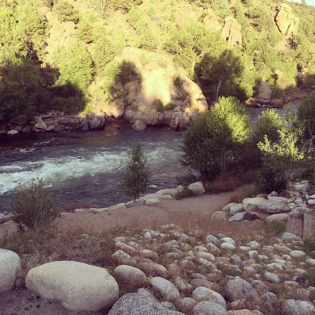 North TrailHiking · ~5 min drivePhoto: JenTravelsLife, CC BY 2.0 (via Flickr)
- Bacon Bits TrailHiking · ~2 min drivePhoto: Nholifield, CC BY 3.0 (via Wikimedia Commons)
- Mount ColumbiaHiking · ~18 min drivePhoto: twslivxe26, CC BY-SA 2.0 (via Flickr)
 Tigger PeakHiking · ~15 min drivePhoto: kalestews, CC BY 2.0 (via Flickr)
- Midland Hill TrailHiking · ~3 min drive
 Few Dollars More TrailHiking · ~2 min drivePhoto: markbyzewski, CC BY 2.0 (via Flickr)
Best time to visit Sausage Link Trail
Best months: May–September. Best months have typical highs of 55–85 °F, lows of 30 °F or warmer (32 °F where the station doesn't record snow), at most one snowy day and no more than 12 wet days.
Jan
41° / 11°
4 wet
Feb
43° / 14°
5 wet
Mar
50° / 21°
6 wet
Apr
56° / 27°
6 wet
May
67° / 36°
7 wet
Jun
78° / 43°
7 wet
Jul
83° / 49°
12 wet
Aug
80° / 47°
12 wet
Sep
74° / 40°
8 wet
Oct
62° / 29°
6 wet
Nov
50° / 20°
5 wet
Dec
40° / 11°
5 wet
Typical high / low (°F) and days with rain or snow, 1991–2020. Measured at Buena Vista 2s, CO, 2.5 mi away at 7,954 ft. The station sits about 700 ft lower than this place, so expect it a little cooler here. This station doesn't record snowfall. Source: NOAA NCEI U.S. Climate Normals 1991–2020.

Map and trail data © OpenStreetMap contributors
