Dexter Point Campground
Campground
Campground · 1.2 mi from the trail
 Photo: markbyzewski, CC BY 2.0 (via Flickr)
Caution today
Agency alerts are in effect for this area; weather is good · USFS, OpenWeather · checked 8 h ago
Closure in the area
There's a closure order in Leadville Ranger District. It doesn't name Colorado Trail, so check the source for the area it covers.
Willow Fire Area Closure
Agency closure covering Leadville Ranger District · Order 02-12-01-26-39 · USFS · Leadville Ranger District
FSR 286, Radical Hill, is closed due to washouts and unsafe conditions
Agency alert covering Pike and San Isabel National Forests · USFS · Pike and San Isabel National Forests
Interlaken Hotel and Annex Area closure
Agency alert covering Leadville Ranger District · Order 02-12-01-26-19 · USFS · Leadville Ranger District
Interlaken Hotel Tree Hazards
Agency alert covering Pike and San Isabel National Forests · USFS · Pike and San Isabel National Forests
Sharpe Fire Update
Agency alert covering Pike and San Isabel National Forests · USFS · Pike and San Isabel National Forests
As of · Source: USFS · Leadville Ranger District. Agencies don't list every closure — check before you go.
The Colorado Trail is a 178.3-mile out-and-back hiking route located in Colorado. This extensive trail offers hikers an ambitious multi-day adventure through the state's diverse landscapes. The trail's length makes it suitable for experienced backpackers looking for an extended wilderness experience, with the out-and-back format allowing hikers to turn back at any point along the route. The Colorado Trail traverses varied terrain and ecosystems across the state, providing hikers with changing scenery throughout their journey. Whether you're planning a full thru-hike or a shorter section hike, the trail's considerable distance offers flexibility for trips of different durations and fitness levels. Due to the trail's length and remote nature, proper planning is essential. Hikers should prepare adequate supplies, navigation tools, and camping equipment for their intended distance. The out-and-back configuration means hikers will retrace their steps on the return journey. This trail is best suited for well-prepared backpackers with experience on longer wilderness routes. The Colorado Trail represents a significant undertaking that rewards hikers with an immersive Colorado backcountry experience.
Dexter Point Campground
Campground
Two Mile Brewing
Bar
 If it rainsLongled, CC BY-SA 3.0 · Wikimedia Commons
Historic frontier synagogue building
Places © OpenStreetMap contributors · Photos: Longled, CC BY-SA 3.0 (commons)
More in Leadville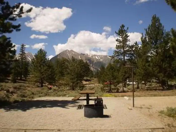 White StarCampingPhoto: Recreation.gov (RIDB) / public domain2.1 mi
 Twin LakesHikingPhoto: Frans-Banja Mulder, CC BY 3.0 (via Wikimedia Commons)3.2 mi
 Twin Lakes AreaRock climbingPhoto: jonathan c. wheeler, CC BY-SA 3.0 (via Wikimedia Commons)3.9 mi
Source: Roamze catalog (indexable pages within 10 miles, PostGIS distance)
Twin LakesHiking · ~6 min drivePhoto: Frans-Banja Mulder, CC BY 3.0 (via Wikimedia Commons) Black CloudHiking · ~9 min drivePhoto: jefftakespictures, CC BY 2.0 (via Flickr)
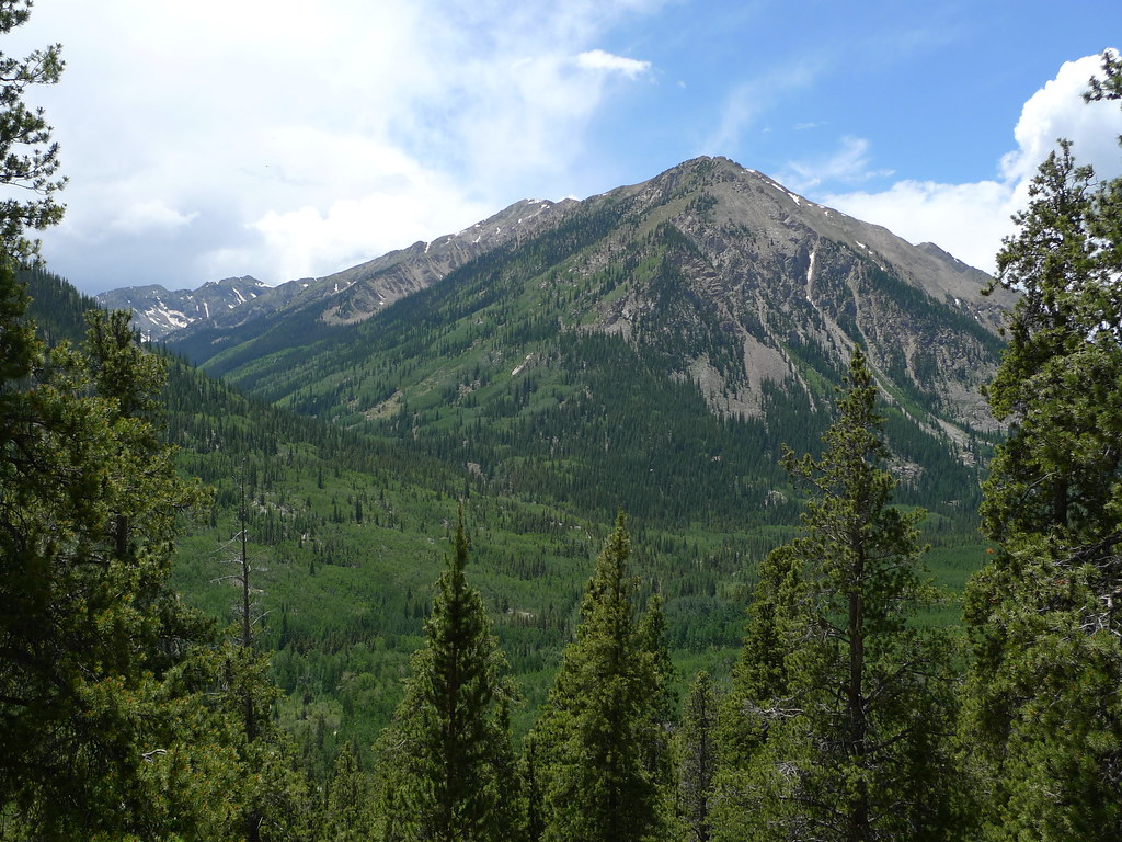 Emerald PeakHiking · ~11 min drivePhoto: jl_2, CC BY-SA 2.0 (via Flickr)
 Mt. Belford - Missouri GulchHiking · ~13 min drivePhoto: Mark Crockett, CC BY 3.0 (via Wikimedia Commons)
 Black Cloud TrailHiking · ~12 min drivePhoto: jl_2, CC BY-SA 2.0 (via Flickr)Mount HopeHiking · ~11 min drivePhoto: jl_2, CC BY-SA 2.0 (via Flickr)Missouri MtnHiking · ~15 min drivePhoto: Mark Crockett, CC BY 3.0 (via Wikimedia Commons)Quail MountainHiking · ~11 min drivePhoto: jl_2, CC BY-SA 2.0 (via Flickr)
No month here meets our mild-weather rule. Best months have typical highs of 55–85 °F, lows of 30 °F or warmer (32 °F where the station doesn't record snow), at most one snowy day and no more than 12 wet days.
Jan
27° / 3°
15 wet · 15 snow
Feb
29° / 3°
15 wet · 15 snow
Mar
35° / 8°
14 wet · 14 snow
Apr
40° / 15°
13 wet · 13 snow
May
49° / 25°
10 wet · 8 snow
Jun
61° / 34°
8 wet · 2 snow
Jul
67° / 40°
13 wet
Aug
64° / 39°
15 wet
Sep
58° / 32°
11 wet · 2 snow
Oct
47° / 21°
9 wet · 7 snow
Nov
35° / 11°
12 wet · 12 snow
Dec
27° / 3°
15 wet · 15 snow
Typical high / low (°F) and days with rain or snow, 1991–2020. Measured at Climax, CO, 21.5 mi away at 11,344 ft. The station sits about 1,200 ft lower than this place, so expect it a little cooler here. Source: NOAA NCEI U.S. Climate Normals 1991–2020.
Map and trail data © OpenStreetMap contributors
