Crescent Mining Camp
Campground
Campground · 0.5 mi from the trail
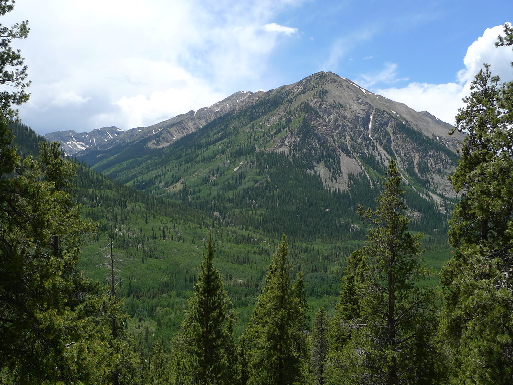 Photo: jl_2, CC BY-SA 2.0 (via Flickr)
Closure in the area
There's a closure order in Leadville Ranger District. It doesn't name Emerald Peak, so check the source for the area it covers.
Willow Fire Area Closure
Agency closure covering Leadville Ranger District · Order 02-12-01-26-39 · USFS · Leadville Ranger District
FSR 286, Radical Hill, is closed due to washouts and unsafe conditions
Agency alert covering Pike and San Isabel National Forests · USFS · Pike and San Isabel National Forests
Interlaken Hotel and Annex Area closure
Agency alert covering Leadville Ranger District · Order 02-12-01-26-19 · USFS · Leadville Ranger District
Interlaken Hotel Tree Hazards
Agency alert covering Pike and San Isabel National Forests · USFS · Pike and San Isabel National Forests
Sharpe Fire Update
Agency alert covering Pike and San Isabel National Forests · USFS · Pike and San Isabel National Forests
As of · Source: USFS · Leadville Ranger District. Agencies don't list every closure — check before you go.
Emerald Peak is a 13,885-foot summit in the Leadville Ranger District of the Pike and San Isabel National Forests in Colorado, managed by the Forest Service. The route begins at Sheep Gulch and is a 15.4-mile round trip with about 4,512 feet of climbing. The mapped trail ends roughly 0.9 miles and 1,408 feet from the summit, and the final stretch is off-trail with no mapped path, so route-finding is needed. The hike is rated expert. The climb is out and back, and the total gain and loss are both about 4,500 feet. Quail Mountain and Mount Hope are both about 0.1 mile away. Crescent Mining Camp is about half a mile off, and Winfield Trailhead is about 2.2 miles away.
Crescent Mining Camp
Campground
 If it rainsLongled, CC BY-SA 3.0 · Wikimedia Commons
Historic frontier synagogue building
Places © OpenStreetMap contributors, Places © Overture Maps Foundation · Photos: Longled, CC BY-SA 3.0 (commons)
More in LeadvilleDaily highs and lows, wind and the chance of precipitation at the summit and route start for the next 7 days, from the Open-Meteo model.
Quail MountainHikingPhoto: jl_2, CC BY-SA 2.0 (via Flickr)0.1 miMount HopeHikingPhoto: jl_2, CC BY-SA 2.0 (via Flickr)0.1 mi Twin Lakes AreaRock climbingPhoto: jonathan c. wheeler, CC BY-SA 3.0 (via Wikimedia Commons)5 mi
Source: Roamze catalog (indexable pages within 10 miles, PostGIS distance)
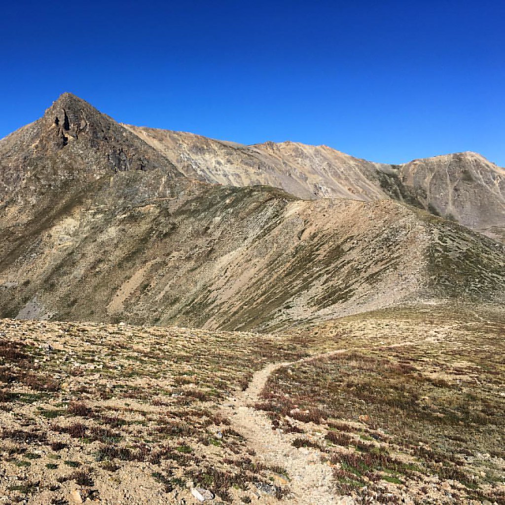 Mount OxfordHiking · ~3 min drivePhoto: gregor_y, CC BY-SA 2.0 (via Flickr)Missouri GulchHiking · ~3 min drivePhoto: gregor_y, CC BY-SA 2.0 (via Flickr)
 Mt. Belford - Missouri GulchHiking · ~4 min drivePhoto: Mark Crockett, CC BY 3.0 (via Wikimedia Commons)
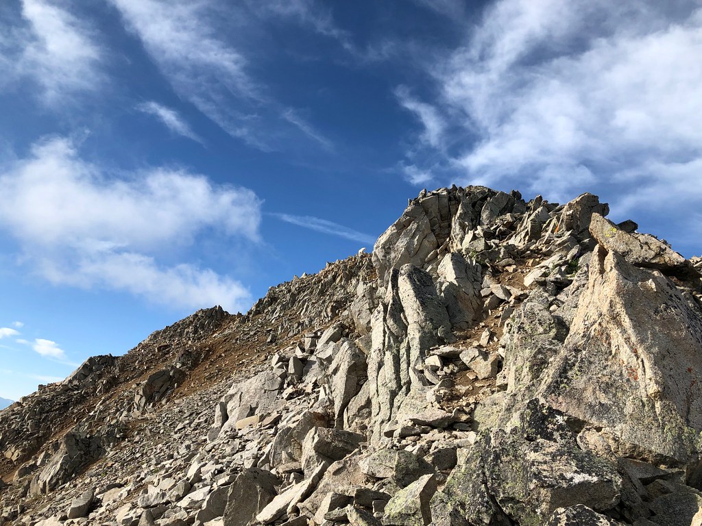 Three ApostlesHiking · ~8 min drivePhoto: supercraigtalbert, CC BY 2.0 (via Flickr)
 Mount BelfordHiking · ~3 min drivePhoto: jl_2, CC BY-SA 2.0 (via Flickr)
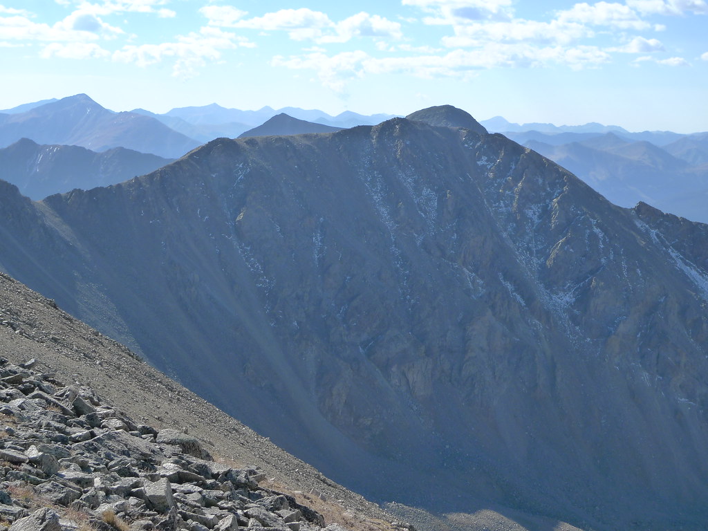 Missouri Mtn - Clohseys LakeHiking · ~6 min drivePhoto: jl_2, CC BY-SA 2.0 (via Flickr)Missouri MtnHiking · ~5 min drivePhoto: Mark Crockett, CC BY 3.0 (via Wikimedia Commons)
 Twin LakesHiking · ~11 min drivePhoto: Frans-Banja Mulder, CC BY 3.0 (via Wikimedia Commons)Missouri MountainHiking · ~3 min drivePhoto: gregor_y — CC BY-SA 2.0 (via Flickr)
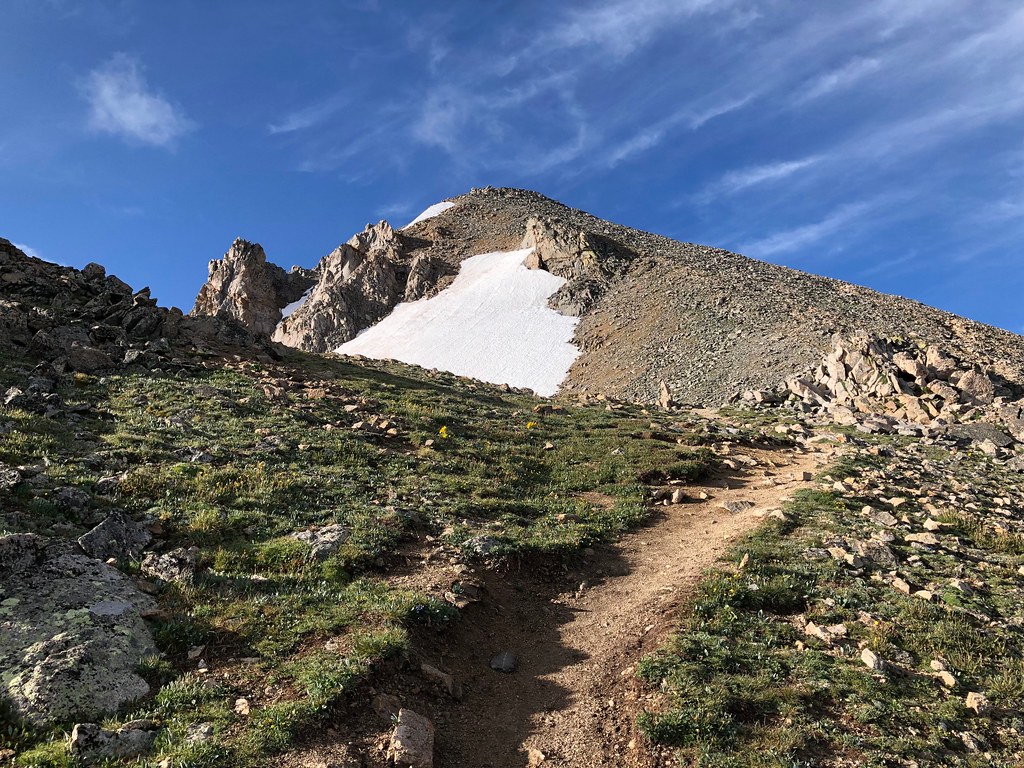 North HuronHiking · ~7 min drivePhoto: supercraigtalbert, CC BY 2.0 (via Flickr)
Also worth it near here
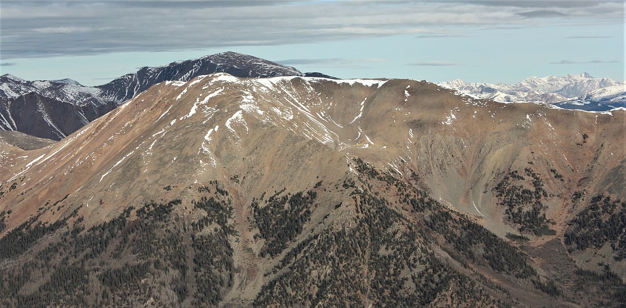 Quail MountainSummit · ~3 min drivePhoto: Jeremiah LaRocco, CC BY-SA 2.0 (via Wikimedia Commons)
 Missouri Mountain Northface Couloirs (Snow)Ski touring · ~6 min drivePhoto: xpda, CC BY-SA 4.0 (via Wikimedia Commons)Twin Lakes AreaRock climbing · ~9 min drivePhoto: jonathan c. wheeler, CC BY-SA 3.0 (via Wikimedia Commons)
About 15.4 mi round trip from Sheep Gulch.
About 4,512 ft of climbing round trip.
It is rated expert.
Sheep Gulch.
© openrouteservice.org by HeiGIT | Map data © OpenStreetMap contributors
