Dexter Point Campground
Campground
Campground · 3.1 mi from the trail
Trail 397A is a short, easy out-and-back hike on Bureau of Land Management land in Colorado's Royal Gorge Field Office. The route starts at about 9,283 feet and rises to a high point of 9,494 feet, with a total gain of 261 feet, over a mile of trail that takes about half an hour to complete. The climb is front-loaded, with the steepest stretch coming at about 0.18 miles from the start, where the grade reaches 9 percent. The trail is short enough to fit into a quick visit or pair with other outings in the area. Summer is the most comfortable time to go. Typical averages from a nearby weather station at a similar elevation show July highs around 74°F with lows near 43°F, while winter highs stay in the mid-30s. Nearby, Twobit Gulch and Low Pass are both about 2.7 miles away. Sunnyside Fishing Site and Dexter Campground sit roughly 3 miles off.
Dexter Point Campground
Campground
 If it rainsLongled, CC BY-SA 3.0 · Wikimedia Commons
Historic frontier synagogue building
Places © OpenStreetMap contributors, Places © Overture Maps Foundation · Photos: Longled, CC BY-SA 3.0 (commons)
More in LeadvilleSource: Roamze catalog (indexable pages within 10 miles, PostGIS distance)
 Colorado TrailHiking · ~6 min drivePhoto: markbyzewski, CC BY 2.0 (via Flickr)
 Mount BlaurockHiking · ~12 min drivePhoto: jonathan c. wheeler, CC BY-SA 3.0 (via Wikimedia Commons)
 Mt. Belford - Missouri GulchHiking · ~15 min drivePhoto: Mark Crockett, CC BY 3.0 (via Wikimedia Commons)
 Twin LakesHiking · ~11 min drivePhoto: Frans-Banja Mulder, CC BY 3.0 (via Wikimedia Commons)
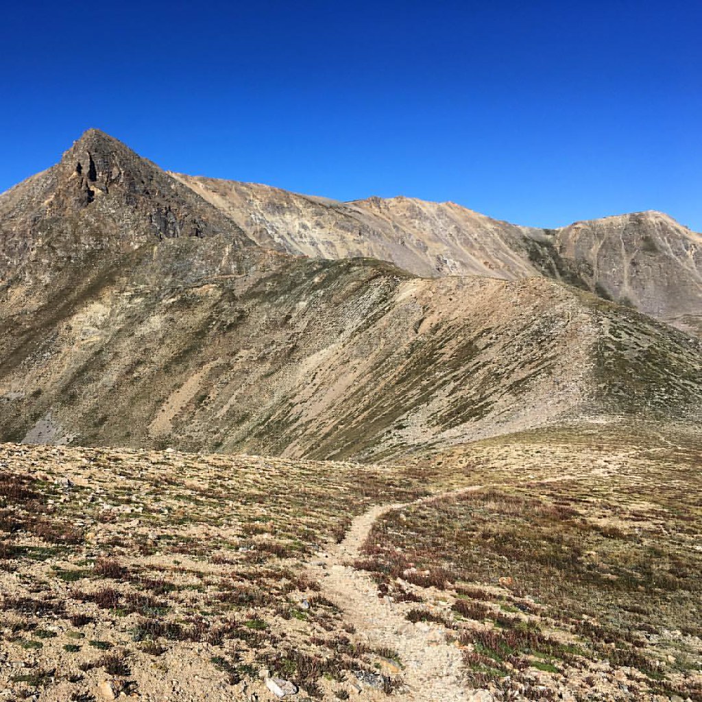 Missouri GulchHiking · ~13 min drivePhoto: gregor_y, CC BY-SA 2.0 (via Flickr)Iowa PeakHiking · ~13 min drivePhoto: gregor_y, CC BY-SA 2.0 (via Flickr)
 Black CloudHiking · ~15 min drivePhoto: jefftakespictures, CC BY 2.0 (via Flickr)
 Mount BelfordHiking · ~13 min drivePhoto: jl_2, CC BY-SA 2.0 (via Flickr)
Best months: June–September. Best months have typical highs of 55–85 °F, lows of 30 °F or warmer (32 °F where the station doesn't record snow), at most one snowy day and no more than 12 wet days.
Jan
34° / 5°
4 wet
Feb
35° / 5°
5 wet
Mar
41° / 13°
6 wet
Apr
46° / 21°
6 wet
May
58° / 30°
7 wet
Jun
70° / 37°
8 wet
Jul
74° / 43°
11 wet
Aug
71° / 42°
12 wet
Sep
65° / 35°
8 wet
Oct
53° / 26°
5 wet
Nov
42° / 17°
4 wet
Dec
34° / 8°
4 wet
Typical high / low (°F) and days with rain or snow, 1991–2020. Measured at Twin Lakes Rsvr, CO, 4.6 mi away at 9,236 ft. This station doesn't record snowfall. Source: NOAA NCEI U.S. Climate Normals 1991–2020.
Map and trail data © OpenStreetMap contributors
