

Arrowhead Point Campground and Cabins
Hiking business nearby (~23 mi away) — hasn't claimed their Roamze page yet
Free — you'll pick up right here.
Watch this trail
Sign up to watch it — saving subscribes you to gate, closure and report changes.
Colorado
7.3 mi
Distance
3,859 ft
Gain
We won't guess. Here is exactly what we do and don't know.
What we do know
Inside Pike and San Isabel National Forests
2 managing-area boundaries mapped — agency alerts for them feed this page automatically.
Boundary data
What's missing
No access route mapped
We don't yet know which road reaches this trailhead, so we can't tell you if it's gated.
Nobody's filed a report here yet — be the first.
Why you'll love it
North Mt. Elbert
AI-suggested draft · review before you go
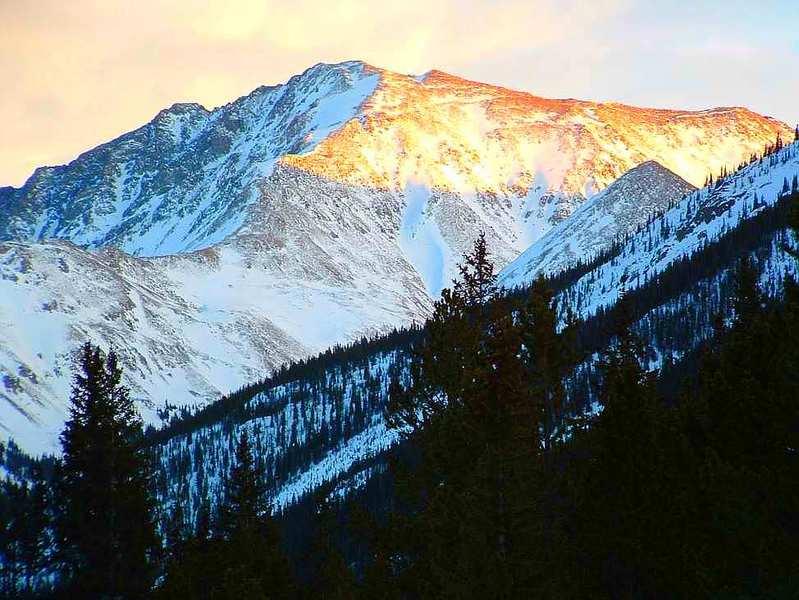
North Mt. Elbert is a 7.3-mile out-and-back trail located in Colorado near the San Juan National Forest's Columbine Ranger District (East). This route provides access to the northern approach of Mt. Elbert, Colorado's highest peak at 14,440 feet. The trail traverses through the managed lands of the San Juan National Forest, offering hikers a moderately challenging alpine experience. As an out-and-back route, visitors follow the same path for both ascent and descent, allowing for straightforward navigation and flexibility in turnaround points. The trail is suitable for hikers seeking high-elevation terrain and mountain scenery. Given the distance and typical characteristics of trails in this region, hikers should be prepared for variable weather conditions and altitude considerations. For current trail conditions, specific trailhead locations, and any seasonal closures or restrictions, contact the Columbine Ranger District directly. The San Juan National Forest website also provides additional information about recreating in the area responsibly.

South Willow Creek
~5 min drive
2.5 mi · Moderate

Twin Lakes
~7 min drive
1.7 mi · Easy

Black Cloud
~9 min drive
6.8 mi · Hard
Mount Elbert
~1 min drive
Standard route to Mount Elbert (14,439 ft) from Mount Elbert Trailhead (North/Northeast Ridge).

North Fork Lake Creek
~12 min drive
7.8 mi · Moderate
Willis Creek
~10 min drive
2.6 mi · Easy

Rock Creek
~9 min drive
6.2 mi · Hard
Mount Massive
~1 min drive
Standard route to Mount Massive (14,428 ft) from Mount Massive Trailhead (East Slopes).
North Halfmoon Lakes
~5 min drive
5.4 mi · Moderate

Bodfish
~14 min drive
2.8 mi · Easy
Local operatorsoffering guided trips. You book directly with them — Roamze doesn’t take a cut.
Arrowhead Point Campground and Cabins
Hiking business nearby (~23 mi away) — hasn't claimed their Roamze page yet
Taylor Park Trading Post
Hiking business nearby (~24 mi away) — hasn't claimed their Roamze page yet
Valley Mobile RV Park
Hiking business nearby (~24 mi away) — hasn't claimed their Roamze page yet