Crescent Mining Camp
Campground
Campground · 0.5 mi from the trail
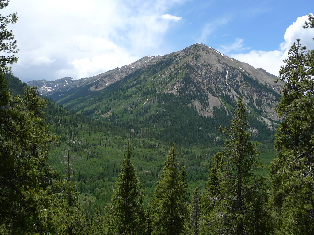 Photo: jl_2, CC BY-SA 2.0 (via Flickr)
Closure in the area
There's a closure order in Leadville Ranger District. It doesn't name Quail Mountain, so check the source for the area it covers.
Willow Fire Area Closure
Agency closure covering Leadville Ranger District · Order 02-12-01-26-39 · USFS · Leadville Ranger District
FSR 286, Radical Hill, is closed due to washouts and unsafe conditions
Agency alert covering Pike and San Isabel National Forests · USFS · Pike and San Isabel National Forests
Interlaken Hotel and Annex Area closure
Agency alert covering Leadville Ranger District · Order 02-12-01-26-19 · USFS · Leadville Ranger District
Interlaken Hotel Tree Hazards
Agency alert covering Pike and San Isabel National Forests · USFS · Pike and San Isabel National Forests
Sharpe Fire Update
Agency alert covering Pike and San Isabel National Forests · USFS · Pike and San Isabel National Forests
As of · Source: USFS · Leadville Ranger District. Agencies don't list every closure — check before you go.
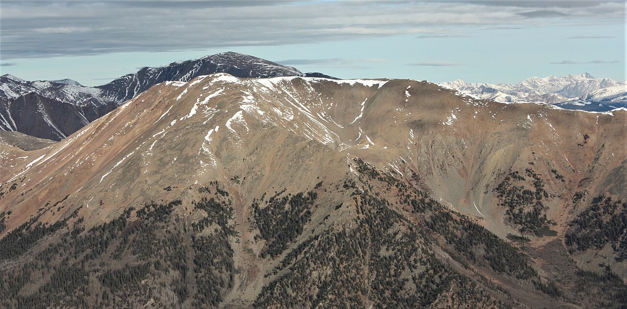
Quail Mountain is a hard hike in Colorado's Pike and San Isabel National Forests, within the Leadville Ranger District. The route is an out-and-back of about 5 miles, with a total elevation gain of roughly 4,441 feet, and the high point reaches about 13,468 feet. The climb is steep, and the route is rated hard. The trip takes about 4 hours. The trail starts close to Mount Hope and Emerald Peak, both of which sit about 0.1 mile away. Crescent Mining Camp is about half a mile off, and Winfield Trailhead is about 2.2 miles away.
Crescent Mining Camp
Campground
 If it rainsLongled, CC BY-SA 3.0 · Wikimedia Commons
Historic frontier synagogue building
Places © OpenStreetMap contributors, Places © Overture Maps Foundation · Photos: Longled, CC BY-SA 3.0 (commons)
More in LeadvilleDaily highs and lows, wind and the chance of precipitation at the summit and route start for the next 7 days, from the Open-Meteo model.
Mount HopeHikingPhoto: jl_2, CC BY-SA 2.0 (via Flickr)0.1 miEmerald PeakHikingPhoto: jl_2, CC BY-SA 2.0 (via Flickr)0.1 mi Twin Lakes AreaRock climbingPhoto: jonathan c. wheeler, CC BY-SA 3.0 (via Wikimedia Commons)5 mi
Source: Roamze catalog (indexable pages within 10 miles, PostGIS distance)
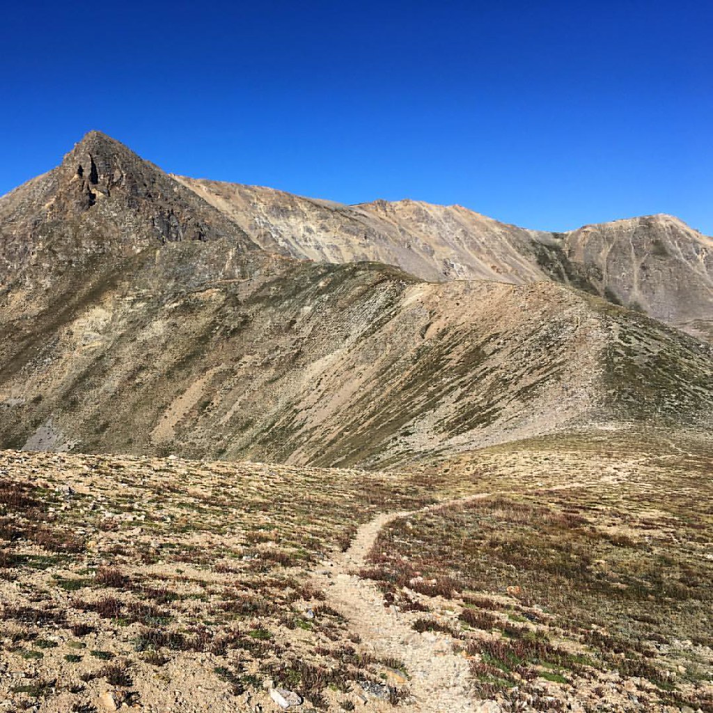 Mount OxfordHiking · ~3 min drivePhoto: gregor_y, CC BY-SA 2.0 (via Flickr)Missouri GulchHiking · ~3 min drivePhoto: gregor_y, CC BY-SA 2.0 (via Flickr)
 Mt. Belford - Missouri GulchHiking · ~4 min drivePhoto: Mark Crockett, CC BY 3.0 (via Wikimedia Commons)
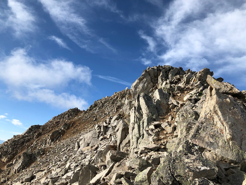 Three ApostlesHiking · ~8 min drivePhoto: supercraigtalbert, CC BY 2.0 (via Flickr)
 Mount BelfordHiking · ~3 min drivePhoto: jl_2, CC BY-SA 2.0 (via Flickr)
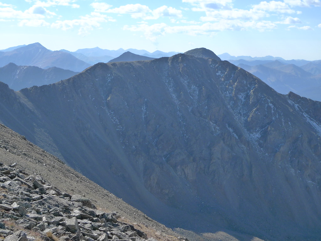 Missouri Mtn - Clohseys LakeHiking · ~6 min drivePhoto: jl_2, CC BY-SA 2.0 (via Flickr)Missouri MtnHiking · ~5 min drivePhoto: Mark Crockett, CC BY 3.0 (via Wikimedia Commons)
 Twin LakesHiking · ~11 min drivePhoto: Frans-Banja Mulder, CC BY 3.0 (via Wikimedia Commons)Missouri MountainHiking · ~3 min drivePhoto: gregor_y — CC BY-SA 2.0 (via Flickr)
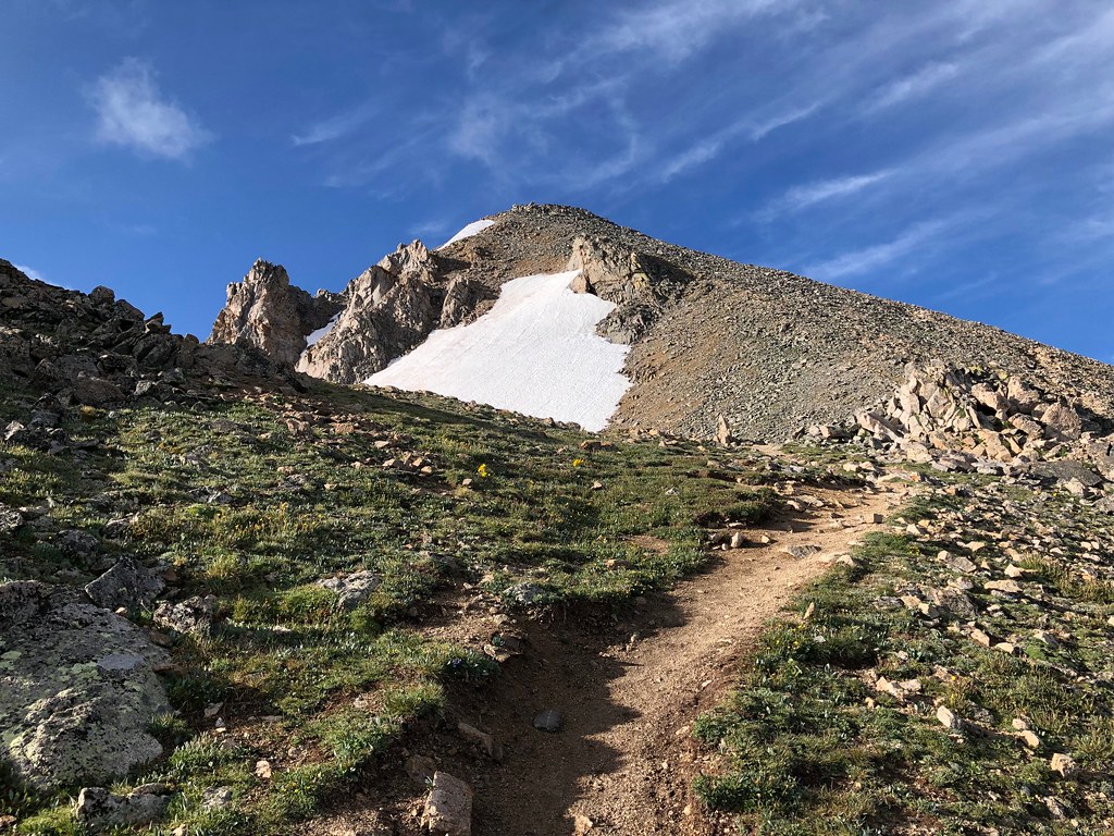 North HuronHiking · ~7 min drivePhoto: supercraigtalbert, CC BY 2.0 (via Flickr)
Also worth it near here
About 5.0 mi round trip from Sheep Gulch.
About 4,441 ft of climbing round trip.
It is rated hard.
Sheep Gulch.
© openrouteservice.org by HeiGIT | Map data © OpenStreetMap contributors