Clear Lake Trail
- 4.4 mi
- distance
- 1,200 ft
- climb
- 10,800 ft
- high point
- Hard
- difficulty
- Jun, Sep
- best months
Caution at last check
Agency alerts are in effect for this area; weather is good · USFS, OpenWeather · checked 21 h ago
Is Clear Lake Trail open right now?
Alert in the area
The Forest Service lists 3 alerts for Medicine Bow-Routt National Forest.
Access Impact: Big Creek Lakes Dam Project
Agency alert covering Medicine Bow-Routt National Forest · USFS · Medicine Bow-Routt National Forest
Trail & Access Impact: Stillwater Reservoir Project
Agency alert covering Medicine Bow-Routt National Forest · USFS · Medicine Bow-Routt National Forest
Snowy Range - 2026 Active Vegetation Operations
Agency alert covering Medicine Bow-Routt National Forest · USFS · Medicine Bow-Routt National Forest
As of · Source: USFS · Medicine Bow-Routt National Forest. Agencies don't list every closure — check before you go.
Clear Lake Trail is a 4.4-mile hike in Colorado's Medicine Bow-Routt National Forest, within the Parks Ranger District of State Forest State Park. The trail climbs 1,200 feet to a high point of about 10,800 feet, and it is rated hard. State Fish and Wildlife manages the land. Summer is the most comfortable time to go. Typical July averages at a nearby weather station run to a high of 74°F and a low of 43°F, and the station sits about 1,300 feet below the trail's high point, so temperatures on the ridge run cooler. The hike takes about two hours. The North Canadian Trail is about a mile away, and the Mountain View Nature Trail is roughly 2 miles off. For camping, Aspen Campground is about 8 miles away.
Local outfitters
- Alpine Lodge at Red Feather Lakes25 mi away
- Wildcat Mountaineering48 mi away
Not on Roamze yet. Their page has how to reach them.
- North Canadian TrailHiking1 mi
- Mountain View Nature TrailHiking2.2 mi
- Michigan RiverCanoeing4.6 mi
- Stematron BoulderRock climbing6.9 mi
- Cronus BlocRock climbing6.9 mi
- Aspen CampgroundCamping7.8 mi
- Tunnel CampgroundCamping8.8 mi
- Joe Wright CreekCanoeing9.3 mi
Source: Roamze catalog (indexable pages within 10 miles, PostGIS distance)
 Hidden Valley TrailHiking · ~6 min drivePhoto: Ken Lund from Reno, Nevada, USA, CC BY-SA 2.0 (via Wikimedia Commons)
 West BranchHiking · ~13 min drivePhoto: Tony Webster, CC BY 2.0 (via Flickr)
- Jack Dickens TrailHiking · ~10 min drive
- Hidden Valley TrailHiking · ~7 min drivePhoto: Ken Lund from Reno, Nevada, USA, CC BY-SA 2.0 (via Wikimedia Commons)
- Kelly Lake TrailHiking · ~5 min drive
- Camp Lake LoopHiking · ~13 min drive
- Ruby Jewel TrailHiking · ~7 min drivePhoto: Ken Lund from Reno, Nevada, USA, CC BY-SA 2.0 (via Wikimedia Commons)
- Blue Lake TrailHiking · ~9 min drive
- Chambers LakeHiking · ~15 min drive
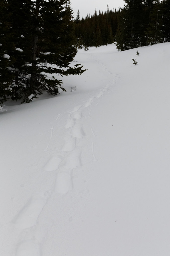 Sawmill Snow TrailHiking · ~12 min drivePhoto: KimonBerlin, CC BY-SA 2.0 (via Flickr)
Best time to visit Clear Lake Trail
Best months: June and September. Best months have typical highs of 55–85 °F, lows of 30 °F or warmer (32 °F where the station doesn't record snow), at most one snowy day and no more than 12 wet days.
Jan
31° / 11°
9 wet
Feb
33° / 10°
9 wet
Mar
40° / 15°
10 wet
Apr
45° / 20°
10 wet
May
55° / 28°
10 wet
Jun
68° / 36°
10 wet
Jul
74° / 43°
13 wet
Aug
72° / 41°
14 wet
Sep
65° / 34°
10 wet
Oct
51° / 25°
8 wet
Nov
39° / 18°
9 wet
Dec
31° / 11°
9 wet
Typical high / low (°F) and days with rain or snow, 1991–2020. Measured at Hourglass Rsvr, CO, 20.3 mi away at 9,520 ft. The station sits about 1,300 ft lower than this place, so expect it a little cooler here. This station doesn't record snowfall. Source: NOAA NCEI U.S. Climate Normals 1991–2020.

Map and trail data © OpenStreetMap contributors
